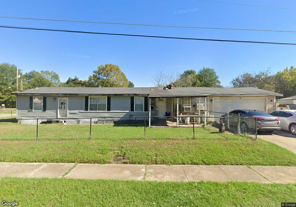
5005 Francis St Shreveport, LA 71109
Mooretown and Hollywood Heights NeighborhoodEstimated Value: $20,000 - $51,000
3
Beds
1
Bath
976
Sq Ft
$42/Sq Ft
Est. Value
About This Home
This home is located at 5005 Francis St, Shreveport, LA 71109 and is currently estimated at $40,796, approximately $41 per square foot. 5005 Francis St is a home located in Caddo Parish with nearby schools including Oak Park Elementary School, Judson Fundamental Elementary School, and Fairfield Magnet School.
Ownership History
Date
Name
Owned For
Owner Type
Purchase Details
Closed on
Oct 24, 2008
Sold by
Secretary Of Hud
Bought by
Weathers Kenneth
Current Estimated Value
Home Financials for this Owner
Home Financials are based on the most recent Mortgage that was taken out on this home.
Original Mortgage
$18,000
Interest Rate
6%
Mortgage Type
Unknown
Purchase Details
Closed on
Jun 29, 2005
Sold by
Hines Leman Hodge
Bought by
Union Planters Bank Na and Regions Mortgage
Create a Home Valuation Report for This Property
The Home Valuation Report is an in-depth analysis detailing your home's value as well as a comparison with similar homes in the area
Home Values in the Area
Average Home Value in this Area
Purchase History
| Date | Buyer | Sale Price | Title Company |
|---|---|---|---|
| Weathers Kenneth | $18,000 | None Available | |
| Union Planters Bank Na | $800 | None Available |
Source: Public Records
Mortgage History
| Date | Status | Borrower | Loan Amount |
|---|---|---|---|
| Closed | Weathers Kenneth | $18,000 |
Source: Public Records
Tax History Compared to Growth
Tax History
| Year | Tax Paid | Tax Assessment Tax Assessment Total Assessment is a certain percentage of the fair market value that is determined by local assessors to be the total taxable value of land and additions on the property. | Land | Improvement |
|---|---|---|---|---|
| 2024 | $529 | $3,391 | $655 | $2,736 |
| 2023 | $536 | $3,360 | $624 | $2,736 |
| 2022 | $536 | $3,360 | $624 | $2,736 |
| 2021 | $527 | $3,360 | $624 | $2,736 |
| 2020 | $527 | $3,360 | $624 | $2,736 |
| 2019 | $540 | $3,342 | $624 | $2,718 |
| 2018 | $0 | $3,342 | $624 | $2,718 |
| 2017 | $549 | $3,342 | $624 | $2,718 |
| 2015 | $553 | $4,266 | $624 | $3,642 |
| 2014 | -- | $3,670 | $620 | $3,050 |
| 2013 | -- | $3,670 | $620 | $3,050 |
Source: Public Records
Map
Nearby Homes
- 5600 Norton St
- 5222 Broadway Ave
- 4310 Saint Louis Ave
- 4718 Gloria Cir
- 4302 Illinois Ave
- 5415 Norton St
- 4536 Curtis Ln
- 3841 Flora Ave
- 3735 Tate St
- 4228 Barbara Ave
- 4031 Robin Ln
- 3718 Doris St
- 4814 Mcdaniel Dr
- 0 Miles St
- 4018 Golf Links Blvd
- 3924 Miles St
- 3922 Miles St
- Lot 1 Spanish Oak Cir
- 4130 Mayfield St
- 4136 Mayfield St