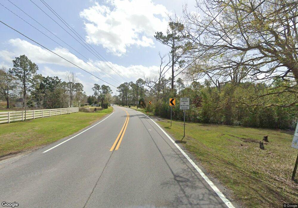
5005 Us Highway 41 N Hahira, GA 31632
Estimated Value: $691,000 - $1,257,000
5
Beds
5
Baths
4,379
Sq Ft
$225/Sq Ft
Est. Value
About This Home
This home is located at 5005 Us Highway 41 N, Hahira, GA 31632 and is currently estimated at $985,485, approximately $225 per square foot. 5005 Us Highway 41 N is a home located in Lowndes County with nearby schools including Hahira Elementary School, Hahira Middle School, and Lowndes High School.
Ownership History
Date
Name
Owned For
Owner Type
Purchase Details
Closed on
Aug 26, 2020
Sold by
Dodson Nicholas Brian
Bought by
Brickhill Estate Llc
Current Estimated Value
Purchase Details
Closed on
Nov 19, 2012
Sold by
Bailey Ella Mae
Bought by
Dodson Nicholas Brian and Dodson Erin Elizabeth
Home Financials for this Owner
Home Financials are based on the most recent Mortgage that was taken out on this home.
Original Mortgage
$337,125
Interest Rate
3.71%
Mortgage Type
New Conventional
Purchase Details
Closed on
Apr 16, 1980
Bought by
Bailey Ella Mae
Create a Home Valuation Report for This Property
The Home Valuation Report is an in-depth analysis detailing your home's value as well as a comparison with similar homes in the area
Home Values in the Area
Average Home Value in this Area
Purchase History
| Date | Buyer | Sale Price | Title Company |
|---|---|---|---|
| Brickhill Estate Llc | $850,000 | -- | |
| Dodson Nicholas Brian | $375,000 | -- | |
| Bailey Ella Mae | -- | -- |
Source: Public Records
Mortgage History
| Date | Status | Borrower | Loan Amount |
|---|---|---|---|
| Previous Owner | Dodson Nicholas Brian | $337,125 |
Source: Public Records
Tax History Compared to Growth
Tax History
| Year | Tax Paid | Tax Assessment Tax Assessment Total Assessment is a certain percentage of the fair market value that is determined by local assessors to be the total taxable value of land and additions on the property. | Land | Improvement |
|---|---|---|---|---|
| 2024 | $7,286 | $295,720 | $86,204 | $209,516 |
| 2023 | $7,055 | $293,124 | $86,204 | $206,920 |
| 2022 | $6,528 | $234,164 | $86,204 | $147,960 |
| 2021 | $6,818 | $234,164 | $86,204 | $147,960 |
| 2020 | $6,332 | $234,164 | $86,204 | $147,960 |
| 2019 | $6,398 | $234,164 | $86,204 | $147,960 |
| 2018 | $6,154 | $222,920 | $74,960 | $147,960 |
| 2017 | $6,065 | $216,104 | $68,144 | $147,960 |
| 2016 | $6,080 | $216,104 | $68,144 | $147,960 |
| 2015 | -- | $219,265 | $71,305 | $147,960 |
| 2014 | $1,681 | $61,095 | $37,902 | $23,193 |
Source: Public Records
Map
Nearby Homes
- 5460 Union Rd
- 4958 Bethany Dr
- 4710 Summerfield Dr
- 4759 Bethany Dr
- 5084 Village Way
- 5109 Village Way
- 1000 Ballantyne Ln
- 4900 Tillman Crossing
- The Carol Plan at Ballantyne
- The Ryleigh Plan at Ballantyne
- The Embry Plan at Ballantyne
- The Belfort Plan at Ballantyne
- 5235 Old Magnolia Cir
- 4504 Wellington Woods Dr
- 4267 Whisperwood Cir
- 4029 Ashbourne Dr
- 5388 Hall Rd
- 4664 Amelia Cir
- 5078 Planters Crossing
- 4176 Cider Trail
- 4975 Old Us 41 N
- 5005 Old Us 41 N
- 5005 Old U S 41 N
- 4931 Old Us 41 N
- 5059 Old Us 41 N
- 5629 Barber Cir
- 5073 Old Us 41 N
- 5028 Old Us 41 N
- 5625 Barber Cir
- 5633 Barber Cir
- 5006 Old Us 41 N
- 5631 Barber Cir
- 5624 Barber Cir
- 5621 Barber Cir
- 5637 Barber Cir
- 5630 Barber Cir
- 5620 Barber Cir
- 5617 Barber Cir
- 4927 Old Us 41 N
- 5641 Barber Cir
