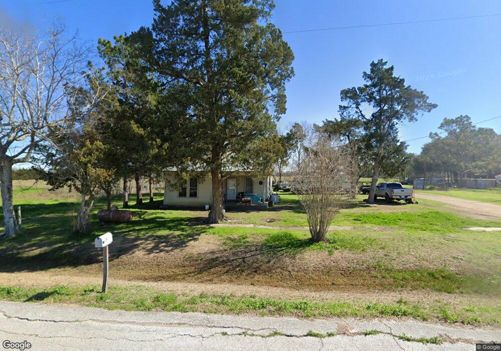
5006 Brandon Rd East Bernard, TX 77435
Estimated Value: $124,112 - $262,000
1
Bed
1
Bath
788
Sq Ft
$245/Sq Ft
Est. Value
About This Home
This home is located at 5006 Brandon Rd, East Bernard, TX 77435 and is currently estimated at $193,056, approximately $244 per square foot. 5006 Brandon Rd is a home located in Fort Bend County with nearby schools including Brazos Elementary School, Brazos Middle School, and Brazos High School.
Ownership History
Date
Name
Owned For
Owner Type
Purchase Details
Closed on
Sep 11, 1995
Sold by
Srubar Edwin A and Srubar Annie M
Bought by
Stuessel Cindy L
Current Estimated Value
Home Financials for this Owner
Home Financials are based on the most recent Mortgage that was taken out on this home.
Original Mortgage
$60,000
Interest Rate
7.78%
Mortgage Type
Seller Take Back
Create a Home Valuation Report for This Property
The Home Valuation Report is an in-depth analysis detailing your home's value as well as a comparison with similar homes in the area
Home Values in the Area
Average Home Value in this Area
Purchase History
| Date | Buyer | Sale Price | Title Company |
|---|---|---|---|
| Stuessel Cindy L | -- | -- |
Source: Public Records
Mortgage History
| Date | Status | Borrower | Loan Amount |
|---|---|---|---|
| Closed | Stuessel Cindy L | $60,000 |
Source: Public Records
Tax History Compared to Growth
Tax History
| Year | Tax Paid | Tax Assessment Tax Assessment Total Assessment is a certain percentage of the fair market value that is determined by local assessors to be the total taxable value of land and additions on the property. | Land | Improvement |
|---|---|---|---|---|
| 2025 | $407 | $67,030 | $32,547 | $34,483 |
| 2024 | $407 | $77,966 | $28,983 | $48,983 |
| 2023 | $363 | $67,300 | $28,127 | $39,173 |
| 2022 | $235 | $42,660 | $11,000 | $31,660 |
| 2021 | $775 | $44,770 | $18,140 | $26,630 |
| 2020 | $765 | $43,260 | $18,140 | $25,120 |
| 2019 | $983 | $49,070 | $23,970 | $25,100 |
| 2018 | $878 | $43,930 | $19,970 | $23,960 |
| 2017 | $899 | $43,350 | $19,970 | $23,380 |
| 2016 | $905 | $43,640 | $20,040 | $23,600 |
| 2015 | $256 | $43,700 | $20,040 | $23,660 |
| 2014 | $216 | $43,730 | $20,040 | $23,690 |
Source: Public Records
Map
Nearby Homes
- 10704 Buls Rd
- 801 Williams Rd
- 1023 Williams Rd
- 10815 Koym Rd
- 0000 W Koym Rd
- 0 Koym Rd Unit 23561366
- 10542 Walker Rd
- 2310 Hopkins Rd
- 2234 Hopkins Rd
- 0 Powell Point School Rd Unit 10101301
- 3251 Marick Rd
- 14626 Sycamore Cir
- 7915 Kirk Rd
- TBD Fm 1952 Rd
- 13025 Battle Rd
- 0 Live Oak Ln
- Plan 1549 at Saddlebrook - Trails
- Plan 2246 at Saddlebrook - Trails
- Plan 1907 at Saddlebrook - Trails
- Plan 1043 at Saddlebrook - Trails