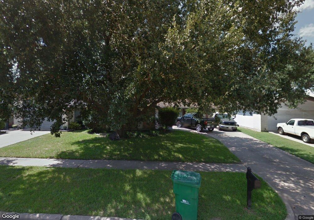
5007 Grouse Ct Houston, TX 77084
Glencairn NeighborhoodEstimated Value: $229,000 - $248,000
3
Beds
2
Baths
1,918
Sq Ft
$124/Sq Ft
Est. Value
About This Home
This home is located at 5007 Grouse Ct, Houston, TX 77084 and is currently estimated at $237,552, approximately $123 per square foot. 5007 Grouse Ct is a home located in Harris County with nearby schools including Lieder Elementary School, Watkins Middle School, and Cypress Lakes High School.
Ownership History
Date
Name
Owned For
Owner Type
Purchase Details
Closed on
Sep 22, 2003
Sold by
Leflore Angela E Sprock and Leflore John Hermon
Bought by
Martin Pierre and Martin Niccole
Current Estimated Value
Home Financials for this Owner
Home Financials are based on the most recent Mortgage that was taken out on this home.
Original Mortgage
$109,900
Outstanding Balance
$59,376
Interest Rate
8.7%
Mortgage Type
Purchase Money Mortgage
Estimated Equity
$178,176
Purchase Details
Closed on
Apr 21, 1999
Sold by
Klepac Daniel A and Klepac Edwina C Salaun
Bought by
Sprock Angela E
Home Financials for this Owner
Home Financials are based on the most recent Mortgage that was taken out on this home.
Original Mortgage
$68,850
Interest Rate
7.07%
Create a Home Valuation Report for This Property
The Home Valuation Report is an in-depth analysis detailing your home's value as well as a comparison with similar homes in the area
Home Values in the Area
Average Home Value in this Area
Purchase History
| Date | Buyer | Sale Price | Title Company |
|---|---|---|---|
| Martin Pierre | -- | -- | |
| Sprock Angela E | -- | American Title Co |
Source: Public Records
Mortgage History
| Date | Status | Borrower | Loan Amount |
|---|---|---|---|
| Open | Martin Pierre | $109,900 | |
| Previous Owner | Sprock Angela E | $68,850 |
Source: Public Records
Tax History Compared to Growth
Tax History
| Year | Tax Paid | Tax Assessment Tax Assessment Total Assessment is a certain percentage of the fair market value that is determined by local assessors to be the total taxable value of land and additions on the property. | Land | Improvement |
|---|---|---|---|---|
| 2025 | $2,773 | $235,913 | $55,692 | $180,221 |
| 2024 | $2,773 | $230,349 | $55,692 | $174,657 |
| 2023 | $2,773 | $241,522 | $55,692 | $185,830 |
| 2022 | $4,280 | $220,848 | $46,519 | $174,329 |
| 2021 | $4,099 | $172,593 | $46,519 | $126,074 |
| 2020 | $3,961 | $161,371 | $36,036 | $125,335 |
| 2019 | $3,756 | $148,128 | $33,088 | $115,040 |
| 2018 | $1,201 | $136,506 | $33,088 | $103,418 |
| 2017 | $3,124 | $136,506 | $33,088 | $103,418 |
| 2016 | $2,840 | $126,093 | $33,088 | $93,005 |
| 2015 | $1,690 | $102,825 | $20,639 | $82,186 |
| 2014 | $1,690 | $100,517 | $16,708 | $83,809 |
Source: Public Records
Map
Nearby Homes
- 5110 Gretna Green Dr
- 16723 Great Glen Dr
- 4926 Gleneagles Dr
- 16811 Forthloch Ct
- 16959 Great Glen Dr
- 15923 Saxon Hollow Ln
- 5326 Girnigoe Dr
- 5030 W Harrow Dr
- 17039 Gleneviss Dr
- 5418 Girnigoe Dr
- 5427 Cairnleigh Dr
- 16423 Williamstown Dr
- 5407 Satterfield Ln
- 16814 Kilwinning Dr
- 5143 W Harrow Dr
- 16718 Nicole Ln
- 5018 Longlane Dr
- 5510 Cairnleigh Dr
- 15811 Sandisfield Ln
- 16014 Cashel Park Ln
- 5011 Grouse Ct
- 5003 Grouse Ct
- 5006 Forthbridge Dr
- 5002 Forthbridge Dr
- 5010 Forthbridge Dr
- 5015 Grouse Ct
- 5014 Forthbridge Dr
- 5006 Grouse Ct
- 5010 Grouse Ct
- 5002 Grouse Ct
- 5019 Grouse Ct
- 16803 Grouse Moor Dr
- 16807 Grouse Moor Dr
- 5018 Forthbridge Dr
- 16735 Grouse Moor Dr
- 16811 Grouse Moor Dr
- 5014 Grouse Ct
- 5022 Grouse Ct
- 16731 Grouse Moor Dr
- 16815 Grouse Moor Dr