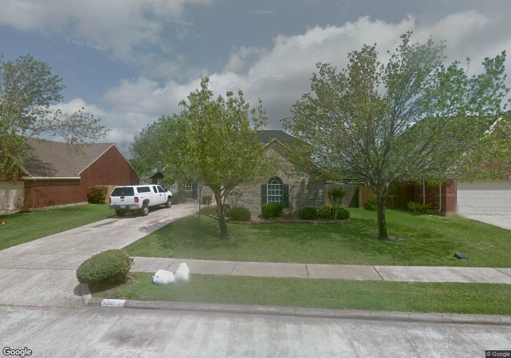
5007 Spring Circle Dr Pearland, TX 77584
Estimated Value: $358,447 - $390,000
Studio
4
Baths
2,726
Sq Ft
$139/Sq Ft
Est. Value
About This Home
This home is located at 5007 Spring Circle Dr, Pearland, TX 77584 and is currently estimated at $377,612, approximately $138 per square foot. 5007 Spring Circle Dr is a home located in Brazoria County with nearby schools including Magnolia Elementary School, Pearland Junior High School South, and Sam Jamison Middle School.
Ownership History
Date
Name
Owned For
Owner Type
Purchase Details
Closed on
Jun 18, 1999
Sold by
Low Lan Hua and Yao Todd T
Bought by
Hernandez Matthew B and Hernandez Rebeca
Current Estimated Value
Home Financials for this Owner
Home Financials are based on the most recent Mortgage that was taken out on this home.
Original Mortgage
$89,450
Outstanding Balance
$21,846
Interest Rate
7.11%
Mortgage Type
FHA
Estimated Equity
$355,766
Purchase Details
Closed on
Oct 29, 1996
Sold by
Borg Richard Cecil and Borg Maria D
Bought by
Yao Todd T and Low Lan Hua
Home Financials for this Owner
Home Financials are based on the most recent Mortgage that was taken out on this home.
Original Mortgage
$102,100
Interest Rate
6.75%
Create a Home Valuation Report for This Property
The Home Valuation Report is an in-depth analysis detailing your home's value as well as a comparison with similar homes in the area
Purchase History
| Date | Buyer | Sale Price | Title Company |
|---|---|---|---|
| Hernandez Matthew B | -- | Texas American Title Company | |
| Yao Todd T | -- | Texas American Title Company |
Source: Public Records
Mortgage History
| Date | Status | Borrower | Loan Amount |
|---|---|---|---|
| Open | Hernandez Matthew B | $89,450 | |
| Previous Owner | Yao Todd T | $102,100 |
Source: Public Records
Tax History
| Year | Tax Paid | Tax Assessment Tax Assessment Total Assessment is a certain percentage of the fair market value that is determined by local assessors to be the total taxable value of land and additions on the property. | Land | Improvement |
|---|---|---|---|---|
| 2025 | $6,151 | $355,520 | $29,090 | $326,430 |
| 2023 | $6,151 | $317,363 | $29,090 | $330,340 |
| 2022 | $6,940 | $288,512 | $29,090 | $259,990 |
| 2021 | $6,758 | $268,270 | $26,850 | $241,420 |
| 2020 | $6,433 | $238,440 | $22,370 | $216,070 |
| 2019 | $5,857 | $217,030 | $22,370 | $194,660 |
| 2018 | $5,656 | $210,490 | $22,370 | $188,120 |
| 2017 | $5,684 | $210,490 | $22,370 | $188,120 |
| 2016 | $5,297 | $212,790 | $22,370 | $190,420 |
| 2014 | $4,213 | $168,330 | $22,370 | $145,960 |
Source: Public Records
Map
Nearby Homes
- 3914 Ivywood Dr
- 4013 Ivywood Dr
- 4110 Cleburne Dr
- 3911 Spring Circle Dr W
- 4616 Chaperel Dr
- 0 S Pearland Unit 40563357
- 4113 Merlet Dr
- 4012 Cedarwood Dr
- 4010 Spring Branch Dr W
- 3505 Parkside Dr
- 5403 Palo Duro Dr
- 16622 Mclean Rd
- 4524 Fox Run St
- 4527 Fox Run St
- 3730 Aubrell Rd
- 3834 Aubrell Rd
- 3804 Parry Fields Ct
- 16719 Mclean Rd
- 5301 Ryan Acres Dr
- 5905 Willow Dr
- 5009 Spring Circle Dr
- 5005 Spring Circle Dr
- 3901 Spring Garden Dr
- 5101 Spring Circle Dr
- 5003 Spring Circle Dr
- 3902 Spring Circle Dr E
- 3903 Spring Garden Dr
- 5103 Spring Circle Dr
- 3902 Spring Garden Dr
- 5106 Confederate Dr
- 3904 Spring Circle Dr E
- 5001 Spring Circle Dr
- 3901 Spring Circle Dr E
- 3904 Spring Garden Dr
- 5105 Spring Circle Dr
- 3905 Spring Garden Dr
- 5022 Confederate Dr
- 3903 Spring Circle Dr E
- 5104 Spring Circle Dr
- 3906 Spring Circle Dr E
Your Personal Tour Guide
Ask me questions while you tour the home.