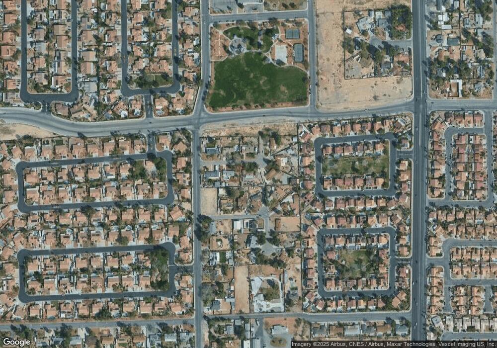
5009 Judy Ct Las Vegas, NV 89130
Northwest Area NeighborhoodEstimated Value: $404,000 - $481,000
3
Beds
2
Baths
1,288
Sq Ft
$336/Sq Ft
Est. Value
About This Home
This home is located at 5009 Judy Ct, Las Vegas, NV 89130 and is currently estimated at $433,003, approximately $336 per square foot. 5009 Judy Ct is a home located in Clark County with nearby schools including Claude & Stella Parson Elementary School, Theron L Swainston Middle School, and Cheyenne High School.
Ownership History
Date
Name
Owned For
Owner Type
Purchase Details
Closed on
Sep 16, 1999
Sold by
Abram Rochelle P
Bought by
Singleton Barry B and Singleton Kristy K
Current Estimated Value
Home Financials for this Owner
Home Financials are based on the most recent Mortgage that was taken out on this home.
Original Mortgage
$131,416
Outstanding Balance
$38,811
Interest Rate
7.77%
Mortgage Type
FHA
Estimated Equity
$394,192
Purchase Details
Closed on
Nov 15, 1995
Sold by
Abram James H
Bought by
Abram Rochelle P
Create a Home Valuation Report for This Property
The Home Valuation Report is an in-depth analysis detailing your home's value as well as a comparison with similar homes in the area
Home Values in the Area
Average Home Value in this Area
Purchase History
| Date | Buyer | Sale Price | Title Company |
|---|---|---|---|
| Singleton Barry B | $132,500 | Old Republic Title Company | |
| Abram Rochelle P | -- | -- |
Source: Public Records
Mortgage History
| Date | Status | Borrower | Loan Amount |
|---|---|---|---|
| Open | Singleton Barry B | $131,416 |
Source: Public Records
Tax History Compared to Growth
Tax History
| Year | Tax Paid | Tax Assessment Tax Assessment Total Assessment is a certain percentage of the fair market value that is determined by local assessors to be the total taxable value of land and additions on the property. | Land | Improvement |
|---|---|---|---|---|
| 2025 | $1,280 | $76,174 | $47,250 | $28,924 |
| 2024 | $1,243 | $76,174 | $47,250 | $28,924 |
| 2023 | $951 | $75,077 | $47,250 | $27,827 |
| 2022 | $1,207 | $69,633 | $43,750 | $25,883 |
| 2021 | $1,225 | $66,886 | $42,000 | $24,886 |
| 2020 | $1,135 | $63,546 | $38,500 | $25,046 |
| 2019 | $1,064 | $50,924 | $25,900 | $25,024 |
| 2018 | $1,015 | $50,202 | $25,900 | $24,302 |
| 2017 | $1,605 | $48,964 | $24,150 | $24,814 |
| 2016 | $951 | $39,464 | $14,000 | $25,464 |
| 2015 | $948 | $33,739 | $14,000 | $19,739 |
| 2014 | $920 | $27,243 | $14,000 | $13,243 |
Source: Public Records
Map
Nearby Homes
- 3816 Sunking St
- 3904 Six Gun Rd
- 4116 Villa Flora St
- 4216 N Decatur Blvd
- 3804 Wren Ct
- 4524 Denali Ave
- 3926 Helen Ave
- 3830 Passionfruit St
- 4211 Bradley Rd
- 4508 W San Miguel Ave
- 3917 Leon Ave
- 0 Hickam Ave
- 5104 Brookmere Dr
- 4335 Twin Peaks Dr
- 4341 San Mateo St
- 3413 Bonn Ct
- 3500 N Rancho Dr
- 3941 N Rancho Dr
- 4108 Dove Creek Rd
- 4542 Silver Bit Ct
