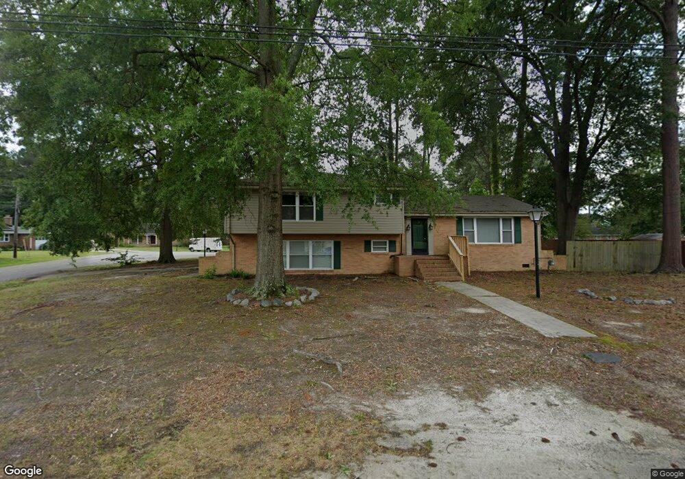
5009 Leslie Dr Portsmouth, VA 23703
Churchland NeighborhoodEstimated Value: $398,374 - $433,000
4
Beds
3
Baths
2,292
Sq Ft
$180/Sq Ft
Est. Value
About This Home
This home is located at 5009 Leslie Dr, Portsmouth, VA 23703 and is currently estimated at $412,844, approximately $180 per square foot. 5009 Leslie Dr is a home located in Portsmouth City with nearby schools including Churchland Elementary School, Churchland Academy Elementary School, and Churchland Middle School.
Ownership History
Date
Name
Owned For
Owner Type
Purchase Details
Closed on
Jan 18, 2024
Sold by
Hampton Roads Estate Development Llc
Bought by
Abad Jimmy and Abad Jean
Current Estimated Value
Home Financials for this Owner
Home Financials are based on the most recent Mortgage that was taken out on this home.
Original Mortgage
$375,000
Outstanding Balance
$368,193
Interest Rate
7.03%
Mortgage Type
VA
Estimated Equity
$44,651
Purchase Details
Closed on
Aug 13, 2021
Sold by
Moss Nancy O and Moss Paul L
Bought by
Hampton Roads Estate Dev Llc
Create a Home Valuation Report for This Property
The Home Valuation Report is an in-depth analysis detailing your home's value as well as a comparison with similar homes in the area
Home Values in the Area
Average Home Value in this Area
Purchase History
| Date | Buyer | Sale Price | Title Company |
|---|---|---|---|
| Abad Jimmy | $375,000 | Old Republic National Title In | |
| Hampton Roads Estate Dev Llc | $145,000 | Sage Title |
Source: Public Records
Mortgage History
| Date | Status | Borrower | Loan Amount |
|---|---|---|---|
| Open | Abad Jimmy | $375,000 |
Source: Public Records
Tax History Compared to Growth
Tax History
| Year | Tax Paid | Tax Assessment Tax Assessment Total Assessment is a certain percentage of the fair market value that is determined by local assessors to be the total taxable value of land and additions on the property. | Land | Improvement |
|---|---|---|---|---|
| 2025 | $4,421 | $347,500 | $109,800 | $237,700 |
| 2024 | $4,421 | $345,530 | $109,800 | $235,730 |
| 2023 | $4,246 | $339,640 | $109,800 | $229,840 |
| 2022 | $3,691 | $283,890 | $91,500 | $192,390 |
| 2021 | $2,894 | $222,620 | $50,660 | $171,960 |
| 2020 | $2,863 | $220,210 | $48,250 | $171,960 |
| 2019 | $2,841 | $218,500 | $48,250 | $170,250 |
| 2018 | $2,841 | $218,500 | $48,250 | $170,250 |
| 2017 | $2,841 | $218,500 | $48,250 | $170,250 |
| 2016 | $2,841 | $218,500 | $48,250 | $170,250 |
| 2015 | $2,840 | $218,500 | $48,250 | $170,250 |
| 2014 | $2,775 | $218,500 | $48,250 | $170,250 |
Source: Public Records
Map
Nearby Homes
- 5006 High St W
- 3233 Clover Hill Dr
- 3200 Westwood Crescent
- 3205 Clover Hill Dr
- 4011 Reese Dr S
- 5220 Clover Hill Dr
- 5221 High St W
- 3000 Ferguson Dr
- 3425 Cedar Ln
- 5111 Sweetbriar Cir
- 4313 Templar Dr
- 4417 Gannon Rd
- 3405 Canterbury Dr
- 5302 High St W
- 5304 High St W
- 4707 High St W
- 3408 Wakefield Dr
- 3509 Spence Rd
- 2805 Acres Rd
- 3432 Carter Rd