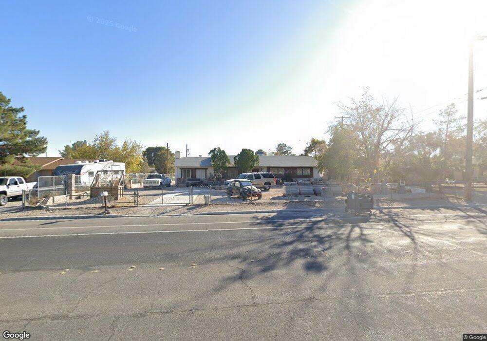
5009 W Gowan Rd Las Vegas, NV 89130
Northwest Area NeighborhoodEstimated Value: $468,246 - $586,000
3
Beds
2
Baths
1,672
Sq Ft
$319/Sq Ft
Est. Value
About This Home
This home is located at 5009 W Gowan Rd, Las Vegas, NV 89130 and is currently estimated at $532,812, approximately $318 per square foot. 5009 W Gowan Rd is a home located in Clark County with nearby schools including Claude & Stella Parson Elementary School, Theron L Swainston Middle School, and Cheyenne High School.
Ownership History
Date
Name
Owned For
Owner Type
Purchase Details
Closed on
Mar 4, 2022
Sold by
William M Taylor Survivors Trust
Bought by
Goshorn Diane E
Current Estimated Value
Home Financials for this Owner
Home Financials are based on the most recent Mortgage that was taken out on this home.
Original Mortgage
$117,012
Outstanding Balance
$108,861
Interest Rate
3.55%
Mortgage Type
FHA
Estimated Equity
$423,951
Purchase Details
Closed on
Jul 6, 2005
Sold by
Taylor William M
Bought by
Taylor William M and Goshorn Diane E
Create a Home Valuation Report for This Property
The Home Valuation Report is an in-depth analysis detailing your home's value as well as a comparison with similar homes in the area
Home Values in the Area
Average Home Value in this Area
Purchase History
| Date | Buyer | Sale Price | Title Company |
|---|---|---|---|
| Goshorn Diane E | -- | Netco Title | |
| Taylor William M | -- | -- |
Source: Public Records
Mortgage History
| Date | Status | Borrower | Loan Amount |
|---|---|---|---|
| Open | Goshorn Diane E | $117,012 |
Source: Public Records
Tax History Compared to Growth
Tax History
| Year | Tax Paid | Tax Assessment Tax Assessment Total Assessment is a certain percentage of the fair market value that is determined by local assessors to be the total taxable value of land and additions on the property. | Land | Improvement |
|---|---|---|---|---|
| 2025 | $1,670 | $71,760 | $47,250 | $24,510 |
| 2024 | $1,547 | $71,760 | $47,250 | $24,510 |
| 2023 | $1,547 | $69,237 | $47,250 | $21,987 |
| 2022 | $1,433 | $64,560 | $43,750 | $20,810 |
| 2021 | $1,327 | $62,432 | $42,000 | $20,432 |
| 2020 | $1,285 | $59,359 | $38,500 | $20,859 |
| 2019 | $1,248 | $47,411 | $26,250 | $21,161 |
| 2018 | $1,211 | $43,658 | $22,750 | $20,908 |
| 2017 | $1,400 | $42,705 | $21,000 | $21,705 |
| 2016 | $1,148 | $37,431 | $14,700 | $22,731 |
| 2015 | $1,145 | $36,857 | $14,000 | $22,857 |
| 2014 | $1,111 | $37,091 | $14,000 | $23,091 |
Source: Public Records
Map
Nearby Homes
- 5025 Jay Ave
- 3413 Bonn Ct
- 4905 Ricky Rd
- 3711 Thom Blvd
- 5008 Donnie Ave
- 3500 N Rancho Dr
- 3509 Golden Sage Dr
- 3801 Hidden Plateau St
- 5105 Gentle River Ave
- 3318 N Decatur Blvd Unit 2110
- 3318 N Decatur Blvd Unit 1013
- 3318 N Decatur Blvd Unit 2112
- 3318 N Decatur Blvd Unit 2149
- 3318 N Decatur Blvd Unit 2143
- 3318 N Decatur Blvd Unit 1044
- 3318 N Decatur Blvd Unit 2082
- 3318 N Decatur Blvd Unit 1002
- 3318 N Decatur Blvd Unit 2086
- 3318 N Decatur Blvd Unit 2072
- 3318 N Decatur Blvd Unit 2083