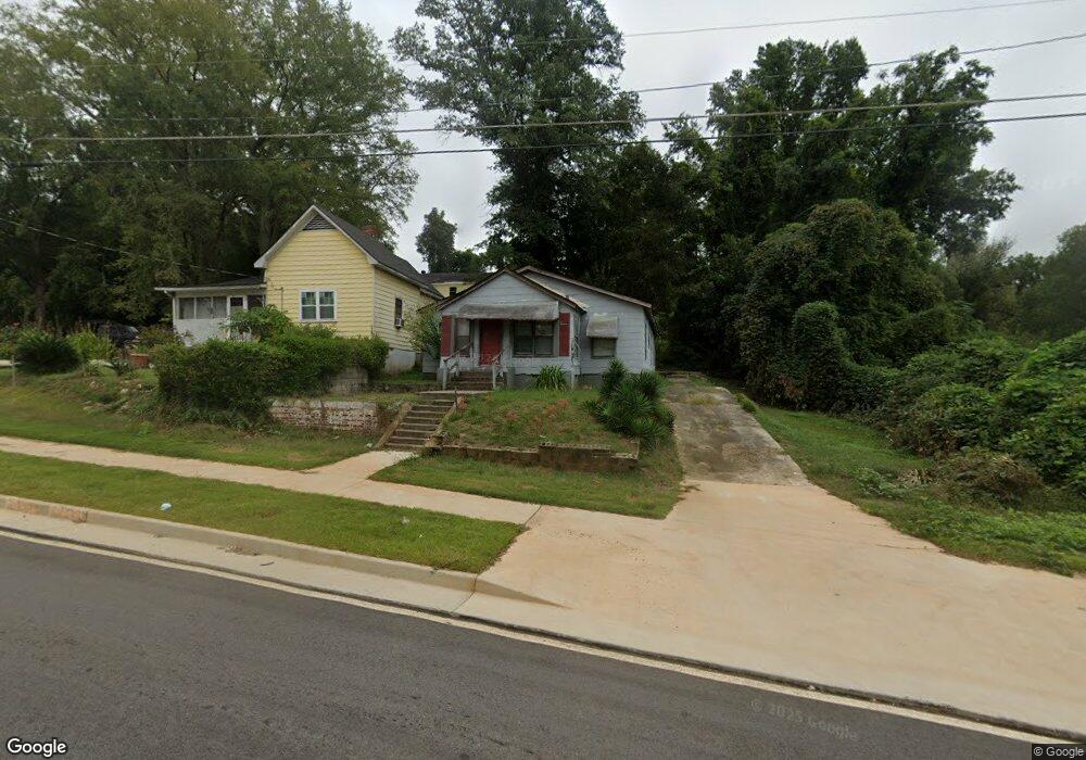
501 1/2 Union St Lagrange, GA 30241
Estimated Value: $42,000 - $91,000
3
Beds
1
Bath
1,546
Sq Ft
$44/Sq Ft
Est. Value
About This Home
This home is located at 501 1/2 Union St, Lagrange, GA 30241 and is currently estimated at $68,686, approximately $44 per square foot. 501 1/2 Union St is a home with nearby schools including Hollis Hand Elementary School, Franklin Forest Elementary School, and Ethel W. Kight Elementary School.
Ownership History
Date
Name
Owned For
Owner Type
Purchase Details
Closed on
Nov 14, 2014
Sold by
Huffman Marvin E
Bought by
Brown Thayer and Brown Rita Davis
Current Estimated Value
Purchase Details
Closed on
Nov 30, 1995
Sold by
George D Joiner
Bought by
Huffman Marvin E and Huffman Betty
Purchase Details
Closed on
Feb 10, 1994
Sold by
Cameron Erma
Bought by
George D Joiner
Purchase Details
Closed on
Aug 2, 1979
Sold by
Ligon Hattie-Will Bk E Pg 438
Bought by
Cameron Erma
Purchase Details
Closed on
Apr 1, 1957
Sold by
Ligon E O
Bought by
Ligon Hattie-Will Bk E Pg 438
Create a Home Valuation Report for This Property
The Home Valuation Report is an in-depth analysis detailing your home's value as well as a comparison with similar homes in the area
Home Values in the Area
Average Home Value in this Area
Purchase History
| Date | Buyer | Sale Price | Title Company |
|---|---|---|---|
| Brown Thayer | $5,000 | -- | |
| Huffman Marvin E | -- | -- | |
| George D Joiner | $15,000 | -- | |
| Cameron Erma | -- | -- | |
| Ligon Hattie-Will Bk E Pg 438 | -- | -- |
Source: Public Records
Tax History Compared to Growth
Tax History
| Year | Tax Paid | Tax Assessment Tax Assessment Total Assessment is a certain percentage of the fair market value that is determined by local assessors to be the total taxable value of land and additions on the property. | Land | Improvement |
|---|---|---|---|---|
| 2024 | $188 | $6,880 | $1,880 | $5,000 |
| 2023 | $134 | $4,920 | $1,880 | $3,040 |
| 2022 | $131 | $4,680 | $1,880 | $2,800 |
| 2021 | $139 | $4,600 | $1,880 | $2,720 |
| 2020 | $139 | $4,600 | $1,880 | $2,720 |
| 2019 | $135 | $4,480 | $1,880 | $2,600 |
| 2018 | $139 | $4,600 | $2,000 | $2,600 |
| 2017 | $139 | $4,600 | $2,000 | $2,600 |
| 2016 | $141 | $4,660 | $2,000 | $2,660 |
| 2015 | $60 | $2,000 | $832 | $1,168 |
| 2014 | $128 | $4,234 | $1,880 | $2,354 |
| 2013 | -- | $4,441 | $1,880 | $2,561 |
Source: Public Records
Map
Nearby Homes
- 105 Dix St
- 0 Locust St
- 205 Fannin St
- 203 Fannin St
- 0 Burr St
- 306 Burr St
- 203 Revis St
- 205 Revis St
- 200 Mccall St
- 910 N 916 1000 1002 N Oak & 1011 1019 1021 Johnson St
- 303 E Mulberry St
- 101 McGee St
- 803 1/2 Hines St
- 0 Brown St Unit 10550761
- 0 Brown St Unit 10550754
- 311 Colquitt St
- 626 Smoot St
- 510 Smoot St
- 208 Render St
- 801 Hines St
- 501 Union St
- 505 Union St
- 403 Union St
- 110 Brookside Terrace
- 210 Cato St
- 401 Union St
- 108 Brookside Terrace
- 102 Dix St
- 212 Cato St
- 106 Dix St
- 205 Cato St
- 106 Brookside Terrace
- 201 Cato St
- 105 Revis St
- 126 Dix St
- 104 Brookside Terrace
- 107 Revis St
- 101 Brookside Terrace
- 102 Brookside Terrace
- 120 Dix St