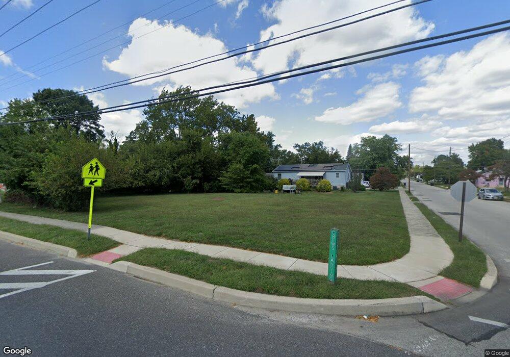
501 Chews Landing Rd Lindenwold, NJ 08021
Estimated Value: $166,000 - $278,033
--
Bed
--
Bath
--
Sq Ft
10,019
Sq Ft Lot
About This Home
This home is located at 501 Chews Landing Rd, Lindenwold, NJ 08021 and is currently estimated at $222,017. 501 Chews Landing Rd is a home located in Camden County with nearby schools including Memorial Middle School, Lindenwold High School, and Saint John Paul II Regional School.
Ownership History
Date
Name
Owned For
Owner Type
Purchase Details
Closed on
Mar 20, 1998
Sold by
Farley Patricia Ann
Bought by
Moehrle George and Moehrle Dana
Current Estimated Value
Home Financials for this Owner
Home Financials are based on the most recent Mortgage that was taken out on this home.
Original Mortgage
$55,000
Outstanding Balance
$9,946
Interest Rate
6.89%
Estimated Equity
$212,071
Purchase Details
Closed on
Mar 8, 1994
Sold by
Leiter Barbara
Bought by
Lizotte William H and Lizotte Anna P
Create a Home Valuation Report for This Property
The Home Valuation Report is an in-depth analysis detailing your home's value as well as a comparison with similar homes in the area
Home Values in the Area
Average Home Value in this Area
Purchase History
| Date | Buyer | Sale Price | Title Company |
|---|---|---|---|
| Moehrle George | $78,000 | -- | |
| Lizotte William H | $73,500 | -- |
Source: Public Records
Mortgage History
| Date | Status | Borrower | Loan Amount |
|---|---|---|---|
| Open | Moehrle George | $55,000 |
Source: Public Records
Tax History Compared to Growth
Tax History
| Year | Tax Paid | Tax Assessment Tax Assessment Total Assessment is a certain percentage of the fair market value that is determined by local assessors to be the total taxable value of land and additions on the property. | Land | Improvement |
|---|---|---|---|---|
| 2025 | $1,909 | $38,600 | $38,600 | -- |
| 2024 | $1,919 | $38,600 | $38,600 | $0 |
| 2023 | $1,919 | $38,600 | $38,600 | $0 |
| 2022 | $1,917 | $38,600 | $38,600 | $0 |
| 2021 | $1,970 | $38,600 | $38,600 | $0 |
| 2020 | $1,959 | $38,600 | $38,600 | $0 |
| 2019 | $1,976 | $38,600 | $38,600 | $0 |
| 2018 | $1,971 | $38,600 | $38,600 | $0 |
| 2017 | $4,943 | $99,800 | $38,600 | $61,200 |
| 2016 | $4,832 | $99,800 | $38,600 | $61,200 |
| 2015 | $4,629 | $99,800 | $38,600 | $61,200 |
| 2014 | $4,427 | $99,800 | $38,600 | $61,200 |
Source: Public Records
Map
Nearby Homes
- 524 8th Ave
- 2004 Greenwood Dr
- 2005 Greenwood Dr
- 1802 Greenwood Dr
- 1908 Greenwood Dr Unit C1908
- 413 10th Ave
- 441 8th Ave
- 609 8th Ave
- 2702 Greenwood Dr
- 409 9th Ave
- 2209 Greenwood Dr
- 2210 Greenwood Dr
- 2703 Greenwood Dr
- 531 6th Ave
- 2502 Greenwood Dr
- 37 Chiswick Dr
- 104 Timber Creek Rd
- 334 Chews Landing Rd
- 18 Glenwood Dr
- 605 4th Ave
- 502 10th Ave
- 509 Chews Landing Rd
- 461 Chews Landing Rd
- 1405 Central Ave
- 457 Chews Landing Rd
- 1401 Central Ave
- 516 10th Ave
- 1306 Central Ave
- 453 Chews Landing Rd
- 509 10th Ave
- 1313 Central Ave
- 520 10th Ave
- 517 10th Ave
- 12 Chelsea Ct
- 535 Chews Landing Rd Unit B
- 535 Chews Landing Rd
- 1309 Central Ave
- 1302 Central Ave
- 457 10th Ave
- 448 10th Ave