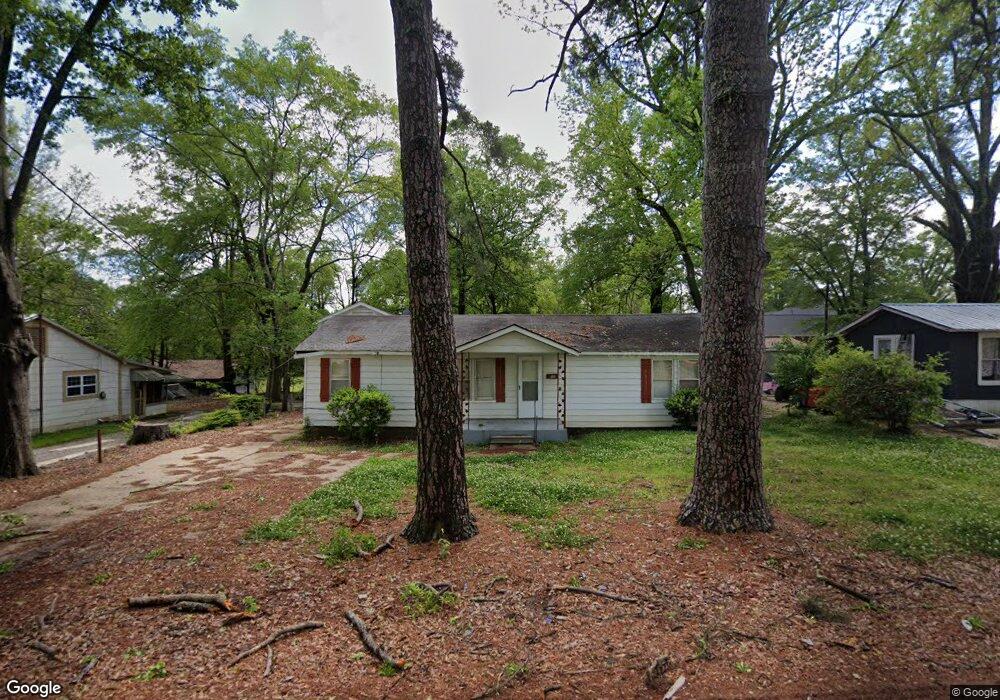
501 E 12th St SMacKover, AR 71762
Estimated Value: $67,919 - $106,000
Studio
1
Bath
1,128
Sq Ft
$73/Sq Ft
Est. Value
About This Home
This home is located at 501 E 12th St, SMacKover, AR 71762 and is currently estimated at $82,230, approximately $72 per square foot. 501 E 12th St is a home located in Union County with nearby schools including Smackover Elementary School, Norphlet Middle School, and Smackover High School.
Ownership History
Date
Name
Owned For
Owner Type
Purchase Details
Closed on
Aug 5, 2009
Sold by
Yeager James B
Bought by
Yeager James Braxton and Davis Ira C
Current Estimated Value
Purchase Details
Closed on
Dec 18, 2006
Sold by
Secretary Of Hud
Bought by
Yeager James B
Purchase Details
Closed on
Sep 29, 2005
Sold by
Oliver Lonnie Len and Oliver Amanda
Bought by
Mortgage Electronic Registration Systems
Purchase Details
Closed on
Jan 30, 2005
Sold by
Mortgage Electric Registration Systems I
Bought by
The Secretary Of Hud
Purchase Details
Closed on
Jun 1, 2004
Bought by
Oliver Lonnie Len
Purchase Details
Closed on
Jan 1, 1990
Bought by
Breashears Alan D
Create a Home Valuation Report for This Property
The Home Valuation Report is an in-depth analysis detailing your home's value as well as a comparison with similar homes in the area
Purchase History
| Date | Buyer | Sale Price | Title Company |
|---|---|---|---|
| Yeager James Braxton | -- | None Available | |
| Yeager James B | -- | Three Rivers Title Services | |
| Mortgage Electronic Registration Systems | $57,497 | None Available | |
| The Secretary Of Hud | -- | None Available | |
| Oliver Lonnie Len | $49,000 | -- | |
| Breashears Alan D | -- | -- |
Source: Public Records
Tax History
| Year | Tax Paid | Tax Assessment Tax Assessment Total Assessment is a certain percentage of the fair market value that is determined by local assessors to be the total taxable value of land and additions on the property. | Land | Improvement |
|---|---|---|---|---|
| 2025 | $508 | $9,420 | $1,100 | $8,320 |
| 2024 | $508 | $9,420 | $1,100 | $8,320 |
| 2023 | $508 | $9,420 | $1,100 | $8,320 |
| 2022 | $472 | $8,750 | $1,100 | $7,650 |
| 2021 | $472 | $8,750 | $1,100 | $7,650 |
| 2020 | $472 | $8,750 | $1,100 | $7,650 |
| 2019 | $466 | $8,650 | $1,000 | $7,650 |
| 2018 | $466 | $8,650 | $1,000 | $7,650 |
| 2017 | $428 | $8,070 | $1,000 | $7,070 |
| 2016 | $428 | $8,070 | $1,000 | $7,070 |
| 2014 | $428 | $8,070 | $1,000 | $7,070 |
Source: Public Records
Map
Nearby Homes
- 0 Poplar
- Lots 2-3 Poplar St
- 300 W 7th St
- 1203 Pine Cir
- 172 Lisbon Rd
- Hwy 160 Unit LotWP001
- 000 Hwy 160
- 544 N Tate Rd
- 2025 O Rear Rd
- 580 O Rear Cutoff
- 217 Walter Dr
- 191 Charlie Vance Rd
- 5053 Lisbon Rd
- 0 Highway 75-20 Unit 24032576
- 740 Agnes Rd
- 526 Meadow Ln
- 1.4 Acres Victor Dumas Rd
- 140 Ouachita 497
- 4258 Calion Hwy
- 208 Mockingbird Ln
Your Personal Tour Guide
Ask me questions while you tour the home.