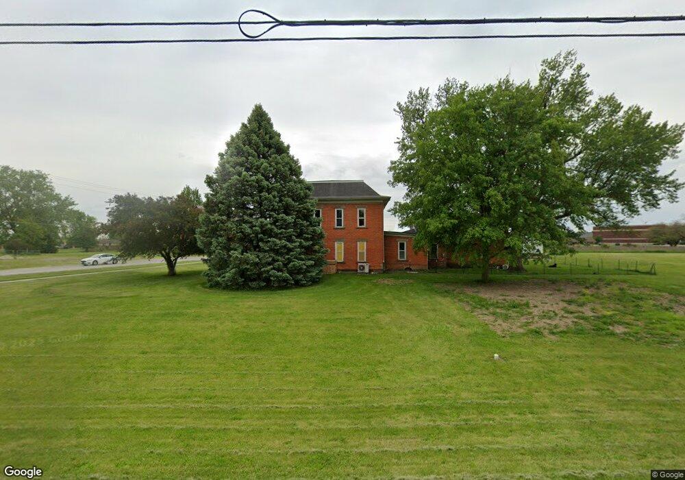
501 E Canal St Antwerp, OH 45813
Estimated Value: $123,000 - $136,000
3
Beds
1
Bath
1,404
Sq Ft
$92/Sq Ft
Est. Value
About This Home
This home is located at 501 E Canal St, Antwerp, OH 45813 and is currently estimated at $129,500, approximately $92 per square foot. 501 E Canal St is a home located in Paulding County with nearby schools including Antwerp Local Elementary School and Antwerp Local High School.
Ownership History
Date
Name
Owned For
Owner Type
Purchase Details
Closed on
Jun 17, 2016
Sold by
Pier Roger and Pier Marlene J
Bought by
Crawford Jerry R and Crawford Michelle K
Current Estimated Value
Home Financials for this Owner
Home Financials are based on the most recent Mortgage that was taken out on this home.
Original Mortgage
$51,000
Outstanding Balance
$21,622
Interest Rate
3.57%
Mortgage Type
Future Advance Clause Open End Mortgage
Estimated Equity
$107,878
Purchase Details
Closed on
May 29, 2008
Sold by
Simpson Susan K
Bought by
Pier Roger
Purchase Details
Closed on
Oct 17, 1989
Bought by
Crawford Jerry R and Crawford Michell
Create a Home Valuation Report for This Property
The Home Valuation Report is an in-depth analysis detailing your home's value as well as a comparison with similar homes in the area
Purchase History
| Date | Buyer | Sale Price | Title Company |
|---|---|---|---|
| Crawford Jerry R | $60,000 | None Available | |
| Pier Roger | $5,000 | None Available | |
| Crawford Jerry R | $4,000 | -- |
Source: Public Records
Mortgage History
| Date | Status | Borrower | Loan Amount |
|---|---|---|---|
| Open | Crawford Jerry R | $51,000 |
Source: Public Records
Tax History
| Year | Tax Paid | Tax Assessment Tax Assessment Total Assessment is a certain percentage of the fair market value that is determined by local assessors to be the total taxable value of land and additions on the property. | Land | Improvement |
|---|---|---|---|---|
| 2025 | $159 | $3,890 | $3,890 | $0 |
| 2024 | $159 | $2,770 | $2,770 | $0 |
| 2023 | $126 | $2,770 | $2,770 | $0 |
| 2022 | $114 | $2,770 | $2,770 | $0 |
| 2021 | $1,295 | $28,080 | $3,470 | $24,610 |
| 2020 | $1,326 | $28,080 | $3,470 | $24,610 |
| 2019 | $1,341 | $25,840 | $3,470 | $22,370 |
| 2018 | $1,239 | $25,840 | $3,470 | $22,370 |
| 2017 | $1,271 | $25,840 | $3,470 | $22,370 |
| 2016 | $1,240 | $25,840 | $3,470 | $22,370 |
| 2015 | $1,214 | $25,380 | $3,470 | $21,910 |
| 2014 | $1,138 | $25,380 | $3,470 | $21,910 |
| 2013 | $1,247 | $25,380 | $3,470 | $21,910 |
Source: Public Records
Map
Nearby Homes
- 501 E Canal St
- 14100 Road 43
- 101 Victory Ln
- 201 S Harrmann Rd
- 14120 Road 43
- 121 S Harrmann Rd
- 119 S Harrmann Rd
- 600 E Canal St S
- 517 E Canal St S
- 515 E Canal St S
- 14152 Road 43
- 117 S Harrmann Rd
- 434 E Canal St
- 6 Diamond Dr
- 8 Diamond Dr
- 102 Diamond Dr
- 106 Diamond Dr
- 115 S Harrmann Rd
- 13978 Road 43
- 14172 Road 43
Your Personal Tour Guide
Ask me questions while you tour the home.