501 E Dominic St La Crosse, IN 46348
Estimated Value: $130,000 - $193,000
2
Beds
2
Baths
1,208
Sq Ft
$128/Sq Ft
Est. Value
About This Home
This home is located at 501 E Dominic St, La Crosse, IN 46348 and is currently estimated at $154,966, approximately $128 per square foot. 501 E Dominic St is a home located in LaPorte County.
Ownership History
Date
Name
Owned For
Owner Type
Purchase Details
Closed on
Nov 22, 2011
Sold by
Frank Chris A and Koch Amy N
Bought by
Elcock Ruth
Current Estimated Value
Home Financials for this Owner
Home Financials are based on the most recent Mortgage that was taken out on this home.
Original Mortgage
$82,400
Outstanding Balance
$8,334
Interest Rate
4.02%
Mortgage Type
New Conventional
Estimated Equity
$146,632
Purchase Details
Closed on
Oct 18, 2010
Sold by
Frank Chris A
Bought by
Frank Chris A and Koch Amy N
Home Financials for this Owner
Home Financials are based on the most recent Mortgage that was taken out on this home.
Original Mortgage
$97,000
Interest Rate
4.37%
Mortgage Type
New Conventional
Purchase Details
Closed on
Jan 16, 2008
Sold by
Dehaven James L
Bought by
Frank Chris A
Home Financials for this Owner
Home Financials are based on the most recent Mortgage that was taken out on this home.
Original Mortgage
$52,000
Interest Rate
6.17%
Mortgage Type
Unknown
Create a Home Valuation Report for This Property
The Home Valuation Report is an in-depth analysis detailing your home's value as well as a comparison with similar homes in the area
Home Values in the Area
Average Home Value in this Area
Purchase History
| Date | Buyer | Sale Price | Title Company |
|---|---|---|---|
| Elcock Ruth | -- | Meridian Title Corp | |
| Frank Chris A | -- | Meridian Title Corp | |
| Frank Chris A | -- | Metropolitan Title |
Source: Public Records
Mortgage History
| Date | Status | Borrower | Loan Amount |
|---|---|---|---|
| Open | Elcock Ruth | $82,400 | |
| Previous Owner | Frank Chris A | $97,000 | |
| Previous Owner | Frank Chris A | $52,000 |
Source: Public Records
Tax History Compared to Growth
Tax History
| Year | Tax Paid | Tax Assessment Tax Assessment Total Assessment is a certain percentage of the fair market value that is determined by local assessors to be the total taxable value of land and additions on the property. | Land | Improvement |
|---|---|---|---|---|
| 2024 | $894 | $92,400 | $10,600 | $81,800 |
| 2022 | $890 | $89,000 | $10,600 | $78,400 |
| 2021 | $836 | $83,600 | $10,600 | $73,000 |
| 2020 | $732 | $83,600 | $10,600 | $73,000 |
| 2019 | $638 | $73,900 | $7,600 | $66,300 |
| 2018 | $610 | $73,900 | $7,600 | $66,300 |
| 2017 | $571 | $70,700 | $6,700 | $64,000 |
| 2016 | $561 | $73,000 | $6,700 | $66,300 |
| 2014 | $510 | $71,100 | $6,700 | $64,400 |
Source: Public Records
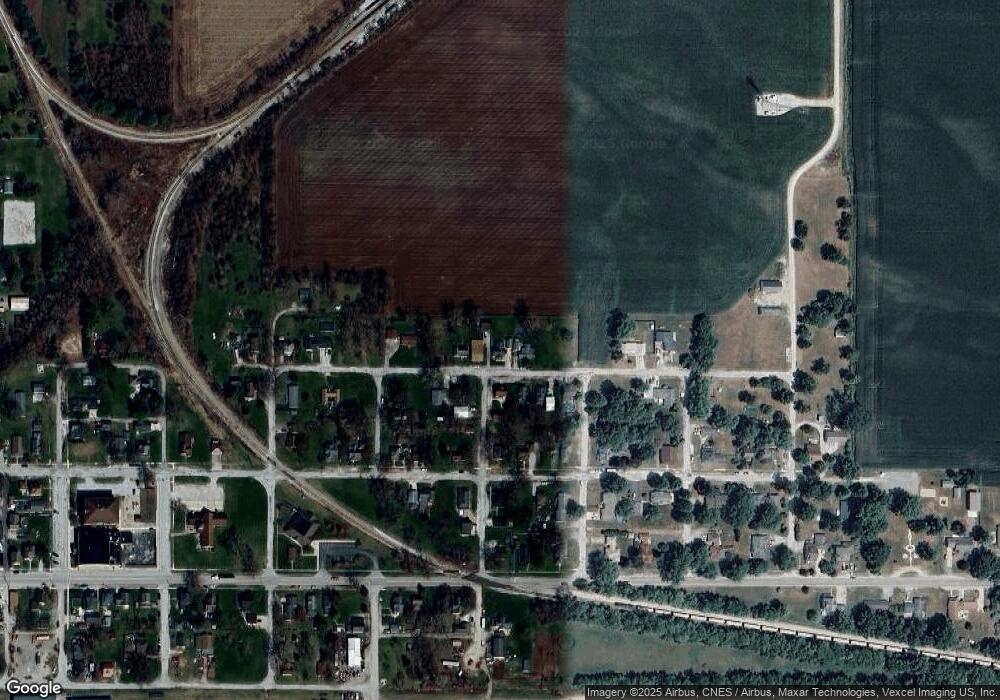
Map
Nearby Homes
- 601 E Main St
- 201 E Oneida St
- 9052 W Saint Road 8
- 202 Genesse St
- 308 Mill St
- 802 W Main St
- 6948 W 1700 S
- 7555 S U S 421
- 627 E 300 S
- 0-B1-3 State Road 8
- 0-Lot B6-7 State Road 8
- 0-Lot B4-5 St Road 8
- 0 W Hwy 30 Unit GNR545374
- 411 E Ross Ave
- 407 Mckinley St
- 304 N Church St
- 305 Shady Ln
- 304 Shady Ln
- 0 Vanessa Way Unit GNR544729
- 0 Sharyn St Unit GNR544737
- 507 E Dominic St
- 407 E Dominic St
- 502 E Dominic St
- 504 E Dominic St
- 504 E Dominic St
- 409 E Dominic St
- 506 E Dominic St
- 518 E Dominic St
- 414 E Dominic St
- 507 E Oneida St
- 419 E Oneida St
- 501 E Oneida St
- 111 Daisy St
- 519 E Oneida St
- 405 E Dominic St
- 409 E Oneida St
- 409 E Oneida St
- 607 E Dominic St
- 502 E Oneida St
- 601 E Oneida St