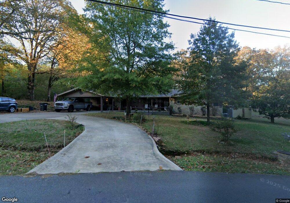
501 E Lee Ave Sherwood, AR 72120
Estimated Value: $245,000 - $301,000
--
Bed
4
Baths
2,248
Sq Ft
$119/Sq Ft
Est. Value
About This Home
This home is located at 501 E Lee Ave, Sherwood, AR 72120 and is currently estimated at $267,912, approximately $119 per square foot. 501 E Lee Ave is a home located in Pulaski County with nearby schools including Sherwood Elementary School, Sylvan Hills Middle School, and Sylvan Hills High School.
Ownership History
Date
Name
Owned For
Owner Type
Purchase Details
Closed on
Nov 19, 2020
Sold by
Marsh Carolyn Y and Marsh Robert L
Bought by
Oneill Ronald C
Current Estimated Value
Home Financials for this Owner
Home Financials are based on the most recent Mortgage that was taken out on this home.
Original Mortgage
$206,682
Outstanding Balance
$183,918
Interest Rate
2.8%
Mortgage Type
VA
Estimated Equity
$83,994
Purchase Details
Closed on
Oct 28, 1993
Bought by
Marsh Robert L and Marsh Carolyn E
Purchase Details
Closed on
Oct 27, 1993
Bought by
Green Janet L
Create a Home Valuation Report for This Property
The Home Valuation Report is an in-depth analysis detailing your home's value as well as a comparison with similar homes in the area
Home Values in the Area
Average Home Value in this Area
Purchase History
| Date | Buyer | Sale Price | Title Company |
|---|---|---|---|
| Oneill Ronald C | $199,500 | Professional Land Ttl Co Of | |
| Marsh Robert L | $72,000 | -- | |
| Green Janet L | -- | -- |
Source: Public Records
Mortgage History
| Date | Status | Borrower | Loan Amount |
|---|---|---|---|
| Open | Oneill Ronald C | $206,682 |
Source: Public Records
Tax History Compared to Growth
Tax History
| Year | Tax Paid | Tax Assessment Tax Assessment Total Assessment is a certain percentage of the fair market value that is determined by local assessors to be the total taxable value of land and additions on the property. | Land | Improvement |
|---|---|---|---|---|
| 2025 | $1,596 | $40,064 | $4,186 | $35,878 |
| 2024 | $1,596 | $40,064 | $4,186 | $35,878 |
| 2023 | $1,596 | $40,064 | $4,186 | $35,878 |
| 2022 | $1,813 | $40,064 | $4,186 | $35,878 |
| 2021 | $1,753 | $30,630 | $4,100 | $26,530 |
| 2020 | $961 | $30,630 | $4,100 | $26,530 |
| 2019 | $961 | $30,630 | $4,100 | $26,530 |
| 2018 | $986 | $30,630 | $4,100 | $26,530 |
| 2017 | $976 | $30,630 | $4,100 | $26,530 |
| 2016 | $976 | $27,570 | $1,820 | $25,750 |
| 2015 | $1,157 | $22,783 | $1,820 | $20,963 |
| 2014 | $1,157 | $22,783 | $4,140 | $18,643 |
Source: Public Records
Map
Nearby Homes
- 208 E Kiehl Ave Unit out parcel
- 00 E Kiehl Ave
- 135 W Lee Ave
- 701 Club Rd
- 8320 Holiday Dr
- 125 Almond Cove
- 8109 Oak Ridge Rd
- 59 Wesley Dr
- 7625 Highway 107
- 9125 Woodbine St
- 8602 Patricia Lynn Ln
- 4690 Hollyridge Cove
- 1109 Brice Rd
- 2410 Crown Ct
- 4636 Brandywine Cove
- 9318 Woodbine Sttreet
- 9016 Wilhite Ln
- 7605 Toltec Dr
- 00 Highway 107
- 104 Mayfair Cove