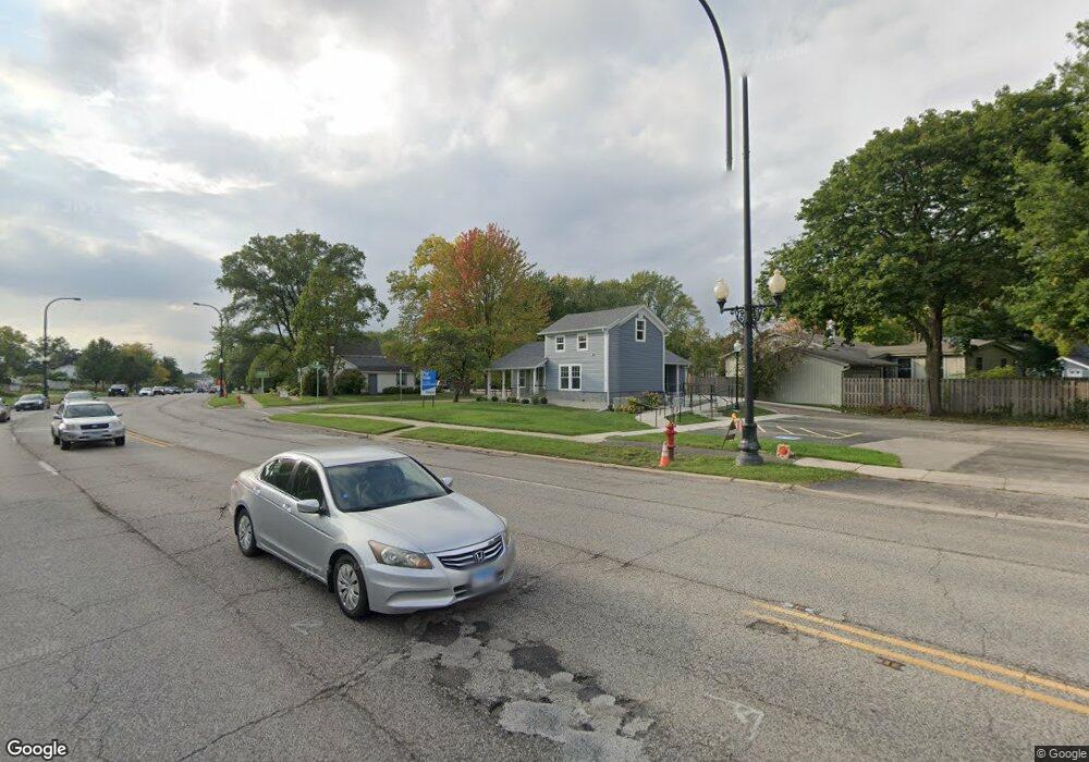
501 E State St Geneva, IL 60134
Northeast Central Geneva NeighborhoodEstimated Value: $331,674
Studio
--
Bath
924
Sq Ft
$359/Sq Ft
Est. Value
About This Home
This home is located at 501 E State St, Geneva, IL 60134 and is currently priced at $331,674, approximately $358 per square foot. 501 E State St is a home located in Kane County with nearby schools including Harrison Street Elementary School, Geneva Community High School, and St. Peter School.
Ownership History
Date
Name
Owned For
Owner Type
Purchase Details
Closed on
Jun 27, 2024
Sold by
Rff Properties Llc
Bought by
People Of The State Of Illinois Department Of
Current Estimated Value
Purchase Details
Closed on
Oct 12, 2023
Sold by
Twenty Four West First Street Llc
Bought by
Rff Properties Llc
Home Financials for this Owner
Home Financials are based on the most recent Mortgage that was taken out on this home.
Original Mortgage
$224,000
Interest Rate
7.18%
Mortgage Type
New Conventional
Purchase Details
Closed on
Apr 23, 2021
Sold by
Lee Jenny and Jenny Lee Living Trust
Bought by
Twenty Four West First Street Llc
Purchase Details
Closed on
Dec 28, 2015
Sold by
Lee Shee Yee and Lee Jenny
Bought by
Lee Jenny and Jenny Lee Living Trust
Create a Home Valuation Report for This Property
The Home Valuation Report is an in-depth analysis detailing your home's value as well as a comparison with similar homes in the area
Home Values in the Area
Average Home Value in this Area
Purchase History
| Date | Buyer | Sale Price | Title Company |
|---|---|---|---|
| People Of The State Of Illinois Department Of | $21,000 | Wheatland Title | |
| People Of The State Of Illinois Department Of | $21,000 | Wheatland Title | |
| Rff Properties Llc | $280,000 | Chicago Title | |
| Twenty Four West First Street Llc | $265,000 | Chicago Title Insurance Co | |
| Lee Jenny | -- | Attorney |
Source: Public Records
Mortgage History
| Date | Status | Borrower | Loan Amount |
|---|---|---|---|
| Previous Owner | Rff Properties Llc | $224,000 |
Source: Public Records
Tax History
| Year | Tax Paid | Tax Assessment Tax Assessment Total Assessment is a certain percentage of the fair market value that is determined by local assessors to be the total taxable value of land and additions on the property. | Land | Improvement |
|---|---|---|---|---|
| 2024 | $6,081 | $79,924 | $31,371 | $48,553 |
| 2023 | $5,961 | $72,658 | $28,519 | $44,139 |
| 2022 | $5,637 | $67,514 | $26,500 | $41,014 |
| 2021 | $6,967 | $82,613 | $25,515 | $57,098 |
| 2020 | $6,893 | $81,352 | $25,126 | $56,226 |
| 2019 | $6,882 | $79,811 | $24,650 | $55,161 |
| 2018 | $6,872 | $79,811 | $27,003 | $52,808 |
| 2017 | $6,805 | $77,683 | $26,283 | $51,400 |
| 2016 | $6,844 | $76,633 | $25,928 | $50,705 |
| 2015 | -- | $72,859 | $24,651 | $48,208 |
| 2014 | -- | $64,747 | $31,707 | $33,040 |
| 2013 | -- | $64,747 | $28,589 | $36,158 |
Source: Public Records
Map
Nearby Homes
- 38 Crissey Ave
- 228 Crissey Ave
- 202 N Bennett St
- 111 Ridge Ln
- 10 Ford St Unit 306
- 10 Ford St Unit 103
- 119 N 1st St
- Lot 31 Fox Run Dr
- 146 Franklin St
- 142 Aberdeen Ct
- 111 Aberdeen Ct
- 551 N 1st St
- 422 Hamilton St
- 1238 Alexandria Ct Unit 4
- 130 Division St
- 1527 Kirkwood Dr Unit 1527
- 000 Averill Cir
- 720 Lancaster Ln
- 1452 Walnut Hill Ave
- 518 Illinois St
- 17 Woodlawn St
- 427 E State St
- 430 E State St
- 18 Woodlawn St
- 518 Summit St
- 410 E State St Unit 2
- 410 E State St Unit 1
- 410 E State St Unit B
- 410 E State St
- 410 E State St Unit A
- 524 Summit St
- 28 Woodlawn St
- 415 E State St
- 101 Woodlawn St
- 526 Summit St
- 32 N Harrison St
- 17 School St
- 24 Kansas St
- 17 Nebraska St
Your Personal Tour Guide
Ask me questions while you tour the home.