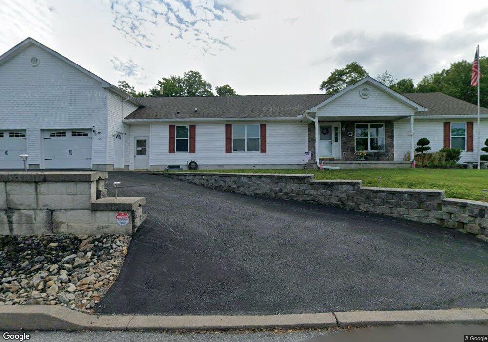
501 Elmwood Ct Saint Clair, PA 17970
Estimated Value: $185,000 - $304,000
3
Beds
2
Baths
1,728
Sq Ft
$142/Sq Ft
Est. Value
About This Home
This home is located at 501 Elmwood Ct, Saint Clair, PA 17970 and is currently estimated at $245,542, approximately $142 per square foot. 501 Elmwood Ct is a home located in Schuylkill County with nearby schools including Saint Clair Area Elementary/Middle School, Gillingham Charter School, and ASSUMPTION BVM SCHOOL.
Ownership History
Date
Name
Owned For
Owner Type
Purchase Details
Closed on
Oct 25, 2011
Sold by
Greystone Tower Bank
Bought by
Murray Jack and Murray Virginia
Current Estimated Value
Home Financials for this Owner
Home Financials are based on the most recent Mortgage that was taken out on this home.
Original Mortgage
$15,000
Interest Rate
4.11%
Mortgage Type
Unknown
Purchase Details
Closed on
Jun 28, 2006
Sold by
Deer Creek Land Fund Lpi
Bought by
Murray Virginia D and Murray Jack L
Home Financials for this Owner
Home Financials are based on the most recent Mortgage that was taken out on this home.
Original Mortgage
$164,000
Interest Rate
6.58%
Mortgage Type
New Conventional
Create a Home Valuation Report for This Property
The Home Valuation Report is an in-depth analysis detailing your home's value as well as a comparison with similar homes in the area
Home Values in the Area
Average Home Value in this Area
Purchase History
| Date | Buyer | Sale Price | Title Company |
|---|---|---|---|
| Murray Jack | $15,000 | None Available | |
| Murray Virginia D | $39,900 | None Available |
Source: Public Records
Mortgage History
| Date | Status | Borrower | Loan Amount |
|---|---|---|---|
| Closed | Murray Jack | $15,000 | |
| Previous Owner | Murray Virginia D | $164,000 |
Source: Public Records
Tax History Compared to Growth
Tax History
| Year | Tax Paid | Tax Assessment Tax Assessment Total Assessment is a certain percentage of the fair market value that is determined by local assessors to be the total taxable value of land and additions on the property. | Land | Improvement |
|---|---|---|---|---|
| 2025 | $3,509 | $53,350 | $5,715 | $47,635 |
| 2024 | $3,282 | $53,350 | $5,715 | $47,635 |
| 2023 | $3,122 | $53,350 | $5,715 | $47,635 |
| 2022 | $3,122 | $53,350 | $5,715 | $47,635 |
| 2021 | $3,154 | $53,350 | $5,715 | $47,635 |
| 2020 | $3,154 | $53,350 | $5,715 | $47,635 |
| 2018 | $3,089 | $53,350 | $5,715 | $47,635 |
| 2017 | $2,969 | $53,350 | $5,715 | $47,635 |
| 2015 | -- | $53,350 | $5,715 | $47,635 |
| 2011 | -- | $50,590 | $0 | $0 |
Source: Public Records
Map
Nearby Homes
- 0 - Lot 10 Elmwood Ct Unit 10
- Lot 30 Elmwood Ct
- 144 N Mill St
- 10 N Front St
- 8 S Front St
- 12 N Front St
- 48 N 2nd St
- 229 S Nichols St
- 101 S 2nd St
- 122 S 3rd St
- 320 S Mill St
- 219 S 3rd St
- 438 S Front St
- 225 Cherry St
- 0 Caroline Ave Unit PASK2022658
- 311 Broad St
- 309 Chestnut St
- 702 & 698 Port Carbon St Clair Hwy
- 665 Port Carbon Saint Clair Hwy
- 806 Park Ave
- 606 E Hancock St
- 423 E Hancock St
- 419 E Hancock St
- 600 Elmwood Ct
- Lot 12 Elmwood Ct
- 524 E Hancock St Unit 26
- 605 Elmwood Ct
- 520 E Hancock St Unit 22
- 516 E Hancock St Unit 18
- 518 E Hancock St
- 585 Fernwood Ave
- 508 E Hancock St
- 417 E Hancock St
- 41 N Price St
- 39 N Price St
- 37 N Price St
- 415 E Hancock St
- 500 E Hancock St
- 31 N Price St
- 29 N Price St