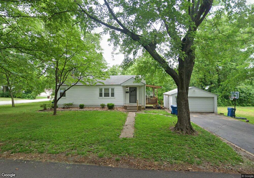
501 Ford Dr Saint Louis, MO 63135
Estimated Value: $77,000 - $124,000
3
Beds
1
Bath
1,066
Sq Ft
$98/Sq Ft
Est. Value
About This Home
This home is located at 501 Ford Dr, Saint Louis, MO 63135 and is currently estimated at $105,000, approximately $98 per square foot. 501 Ford Dr is a home located in St. Louis County with nearby schools including Ferguson Middle School, Johnson Wabash Elementary School, and McCluer High School.
Ownership History
Date
Name
Owned For
Owner Type
Purchase Details
Closed on
Mar 23, 2020
Sold by
Smizer Mill Development Llc
Bought by
Hutchinher Properties Llc
Current Estimated Value
Purchase Details
Closed on
Jul 23, 2012
Sold by
Spaulding Evelyn L and Spaulding Robert Dale
Bought by
Smizer Mill Development Llc
Create a Home Valuation Report for This Property
The Home Valuation Report is an in-depth analysis detailing your home's value as well as a comparison with similar homes in the area
Home Values in the Area
Average Home Value in this Area
Purchase History
We collect this data history from publicly available records. To have your information removed, we recommend requesting removal directly through your county’s website.
| Date | Buyer | Sale Price | Title Company |
|---|---|---|---|
| Hutchinher Properties Llc | $45,000 | Freedom Title Llc St Louis | |
| Smizer Mill Development Llc | $18,000 | Ctc |
Source: Public Records
Tax History
| Year | Tax Paid | Tax Assessment Tax Assessment Total Assessment is a certain percentage of the fair market value that is determined by local assessors to be the total taxable value of land and additions on the property. | Land | Improvement |
|---|---|---|---|---|
| 2025 | $1,175 | $20,630 | $2,090 | $18,540 |
| 2024 | $1,175 | $16,090 | $1,670 | $14,420 |
| 2023 | $1,168 | $16,090 | $1,670 | $14,420 |
| 2022 | $1,073 | $12,860 | $1,250 | $11,610 |
| 2021 | $1,039 | $12,860 | $1,250 | $11,610 |
| 2020 | $1,120 | $12,480 | $1,730 | $10,750 |
| 2019 | $1,099 | $12,480 | $1,730 | $10,750 |
| 2018 | $990 | $10,010 | $1,440 | $8,570 |
| 2017 | $971 | $10,010 | $1,440 | $8,570 |
| 2016 | $1,122 | $11,420 | $1,820 | $9,600 |
| 2015 | $1,129 | $11,420 | $1,820 | $9,600 |
| 2014 | $1,104 | $11,040 | $2,340 | $8,700 |
Source: Public Records
Map
Nearby Homes
- 321 Henquin Dr
- 324 Henquin Dr
- 238 Newell Dr
- 6314 Peurifoy Ave
- 1001 Olympia Dr
- 6232 Witsell Ave
- 6234 Peurifoy Ave
- 6621 Dunwold Dr
- 8140 Packard Ave
- 415 Warford Ave
- 2 Marcel Ct
- 411 Warford Ave
- 218 N Marguerite Ave
- 605 Abston Ave
- 129 N Dade Ave
- 6135 Shillington Dr
- 106 Henquin Dr
- 8115 Myrick St
- 138 N Marguerite Ave
- 840 N Florissant Rd
- 1007 January Ave
- 1011 January Ave
- 923 January Ave
- 525 Ford Dr
- 919 January Ave
- 1006 January Ave
- 928 January Ave
- 1019 January Ave
- 524 Ford Dr
- 1010 January Ave
- 920 January Ave
- 529 Ford Dr
- 913 January Ave
- 454 Thurston Ave
- 916 January Ave
- 528 Thurston Ave
- 528 Ford Dr
- 448 Thurston Ave
- 907 January Ave
- 533 Ford Dr
Your Personal Tour Guide
Ask me questions while you tour the home.