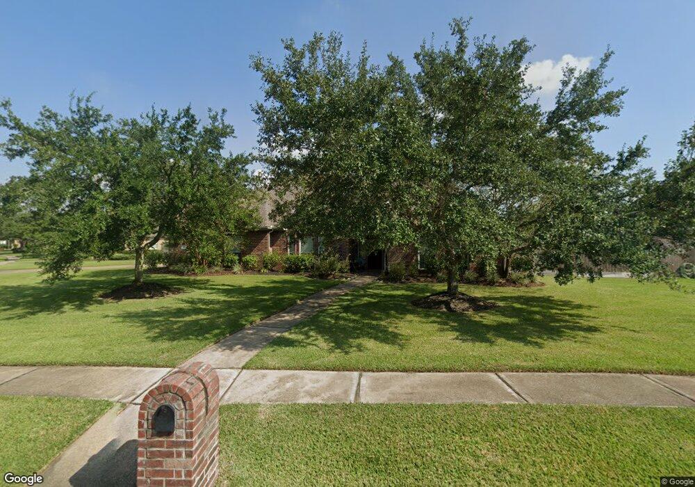
501 High Ridge Dr Friendswood, TX 77546
Estimated Value: $525,575 - $571,000
--
Bed
--
Bath
3,278
Sq Ft
$165/Sq Ft
Est. Value
About This Home
This home is located at 501 High Ridge Dr, Friendswood, TX 77546 and is currently estimated at $540,894, approximately $165 per square foot. 501 High Ridge Dr is a home located in Galveston County with nearby schools including C.W. Cline Elementary School, Windsong Elementary School, and Friendswood Junior High School.
Ownership History
Date
Name
Owned For
Owner Type
Purchase Details
Closed on
Jul 24, 2003
Sold by
K Hovnanian Of Houston Ii Lp
Bought by
Whitecotton Michael J and Whitecotton Amanda S
Current Estimated Value
Home Financials for this Owner
Home Financials are based on the most recent Mortgage that was taken out on this home.
Original Mortgage
$227,950
Outstanding Balance
$96,109
Interest Rate
5.15%
Mortgage Type
Purchase Money Mortgage
Estimated Equity
$444,785
Create a Home Valuation Report for This Property
The Home Valuation Report is an in-depth analysis detailing your home's value as well as a comparison with similar homes in the area
Home Values in the Area
Average Home Value in this Area
Purchase History
| Date | Buyer | Sale Price | Title Company |
|---|---|---|---|
| Whitecotton Michael J | -- | Alamo Title Company |
Source: Public Records
Mortgage History
| Date | Status | Borrower | Loan Amount |
|---|---|---|---|
| Open | Whitecotton Michael J | $227,950 |
Source: Public Records
Tax History Compared to Growth
Tax History
| Year | Tax Paid | Tax Assessment Tax Assessment Total Assessment is a certain percentage of the fair market value that is determined by local assessors to be the total taxable value of land and additions on the property. | Land | Improvement |
|---|---|---|---|---|
| 2025 | $5,213 | $526,750 | $51,850 | $474,900 |
| 2024 | $5,213 | $492,385 | -- | -- |
| 2023 | $5,213 | $447,623 | $0 | $0 |
| 2022 | $7,092 | $406,930 | $51,850 | $355,080 |
| 2021 | $10,217 | $451,050 | $51,850 | $399,200 |
| 2020 | $9,580 | $397,660 | $51,850 | $345,810 |
| 2019 | $9,231 | $363,540 | $51,850 | $311,690 |
| 2018 | $9,286 | $363,540 | $51,850 | $311,690 |
| 2017 | $9,440 | $363,540 | $51,850 | $311,690 |
| 2016 | $8,582 | $330,450 | $51,850 | $278,600 |
| 2015 | $2,780 | $330,450 | $51,850 | $278,600 |
| 2014 | $2,618 | $278,210 | $51,850 | $226,360 |
Source: Public Records
Map
Nearby Homes
- 705 High Ridge Dr
- 2304 Old Rd
- 1010 High Ridge Dr
- 110 Century Dr
- 2316 Durango Bend Ln
- 1906 Blue Quail Dr
- 506 Lakeside Ln
- 1802 Creekside Dr
- 124 Lamar Canyon Ln
- 204 Oak Dr
- 505 Hunters Ln
- 2405 Pebble Lodge Ln
- 2204 Airline Dr
- 1217 Red Wing Dr
- 1811 Hunt Dr
- 808 Galloway Mist Ln
- 2305 Farris Valley Ln
- 1904 Candlelight Ct
- 611 Oak Dr
- 2517 Mountain Falls Ct
- 505 High Ridge Dr
- 417 Overlook Dr
- 509 High Ridge Dr
- 502 High Ridge Dr
- 413 Overlook Dr
- 418 Overlook Dr
- 422 Overlook Dr
- 506 High Ridge Dr
- 414 Overlook Dr
- 426 Overlook Dr
- 513 High Ridge Dr
- 409 Overlook Dr
- 510 High Ridge Dr
- 501 W Lake Dr
- 410 Overlook Dr
- 430 Overlook Dr
- 505 W Lake Dr
- 405 Overlook Dr
- 514 High Ridge Dr
- 517 High Ridge Dr