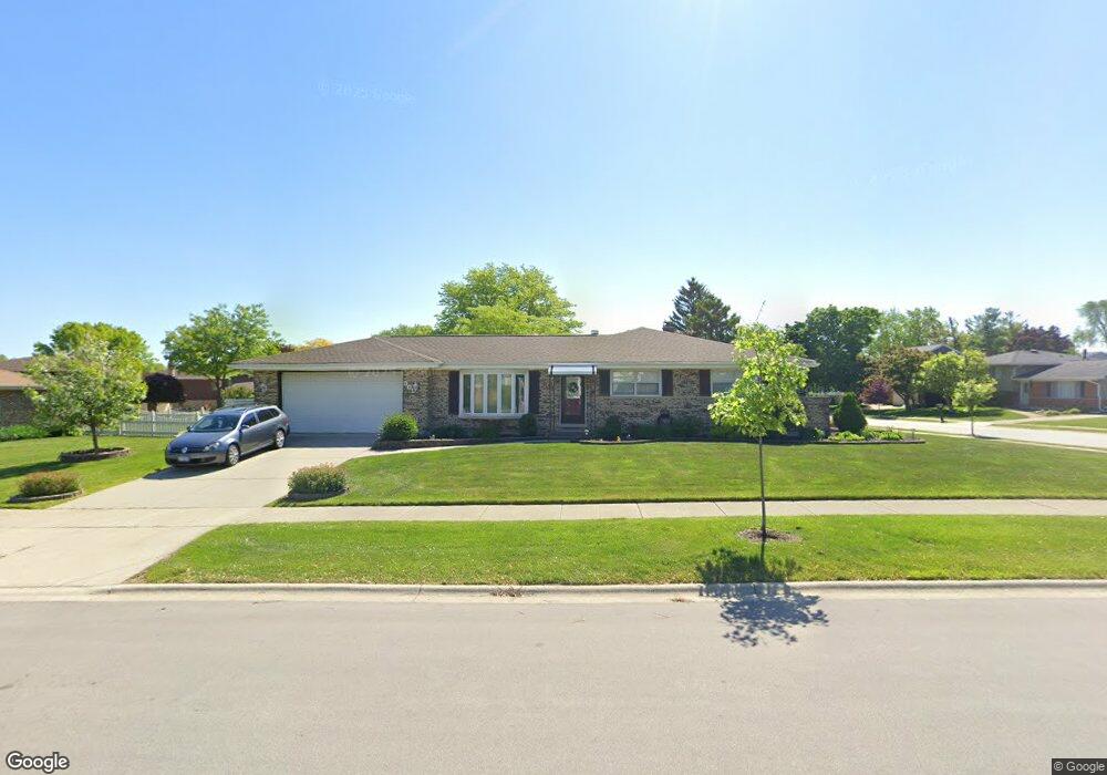
501 Juli Dr Schaumburg, IL 60193
East Schaumburg NeighborhoodEstimated Value: $355,000 - $496,000
3
Beds
2
Baths
1,519
Sq Ft
$287/Sq Ft
Est. Value
About This Home
This home is located at 501 Juli Dr, Schaumburg, IL 60193 and is currently estimated at $436,319, approximately $287 per square foot. 501 Juli Dr is a home located in Cook County with nearby schools including Michael Collins Elementary School, Robert Frost Junior High School, and J B Conant High School.
Ownership History
Date
Name
Owned For
Owner Type
Purchase Details
Closed on
Aug 30, 2024
Sold by
Judith D Groell Revocable Trust and Groell Judith D
Bought by
Groell Judith D and Judith D Groell Revocable Trust
Current Estimated Value
Home Financials for this Owner
Home Financials are based on the most recent Mortgage that was taken out on this home.
Original Mortgage
$200,000
Outstanding Balance
$186,444
Interest Rate
5.38%
Mortgage Type
New Conventional
Estimated Equity
$249,875
Purchase Details
Closed on
Oct 11, 2011
Sold by
Groell Judith D
Bought by
Groell Judith D and Judith D Groell Revocable Trust
Create a Home Valuation Report for This Property
The Home Valuation Report is an in-depth analysis detailing your home's value as well as a comparison with similar homes in the area
Home Values in the Area
Average Home Value in this Area
Purchase History
| Date | Buyer | Sale Price | Title Company |
|---|---|---|---|
| Groell Judith D | $336,000 | Premier Title | |
| Groell Judith D | -- | None Available |
Source: Public Records
Mortgage History
| Date | Status | Borrower | Loan Amount |
|---|---|---|---|
| Open | Groell Judith D | $200,000 |
Source: Public Records
Tax History
| Year | Tax Paid | Tax Assessment Tax Assessment Total Assessment is a certain percentage of the fair market value that is determined by local assessors to be the total taxable value of land and additions on the property. | Land | Improvement |
|---|---|---|---|---|
| 2025 | $4,772 | $42,000 | $11,523 | $30,477 |
| 2024 | $4,772 | $39,000 | $9,795 | $29,205 |
| 2023 | $4,774 | $39,000 | $9,795 | $29,205 |
| 2022 | $4,774 | $39,000 | $9,795 | $29,205 |
| 2021 | $5,388 | $25,527 | $6,625 | $18,902 |
| 2020 | $4,748 | $25,527 | $6,625 | $18,902 |
| 2019 | $4,907 | $28,364 | $6,625 | $21,739 |
| 2018 | $5,504 | $32,170 | $5,473 | $26,697 |
| 2017 | $5,322 | $32,170 | $5,473 | $26,697 |
| 2016 | $6,049 | $32,170 | $5,473 | $26,697 |
| 2015 | $6,882 | $27,500 | $4,609 | $22,891 |
| 2014 | $6,834 | $27,500 | $4,609 | $22,891 |
| 2013 | $7,235 | $29,601 | $4,609 | $24,992 |
Source: Public Records
Map
Nearby Homes
- 98 Wiltshire Ct
- 168 Farmgate Dr
- 609 Deborah Ct
- 605 Limerick Ln Unit 2B
- 552 Stone Gate Cir
- 614 Tralee Ct Unit 2-C
- 614 Tralee Ct Unit 2D
- 712 Tipperary Ct Unit 1C
- 220 S Roselle Rd Unit 224
- 108 Mullingar Ct Unit 2D
- 112 Mullingar Ct Unit 1C
- 631 Derry Ct Unit 1B
- 631 Derry Ct Unit 3C
- 631 Derry Ct Unit 2C
- 733 Limerick Ln Unit 7333D
- 25 Superior Ct Unit L2
- 635 Limerick Ln Unit 2B
- 717 Killarney Ct Unit 2D
- 701 Limerick Ln Unit 3B
- 5 Illinois Ave
Your Personal Tour Guide
Ask me questions while you tour the home.