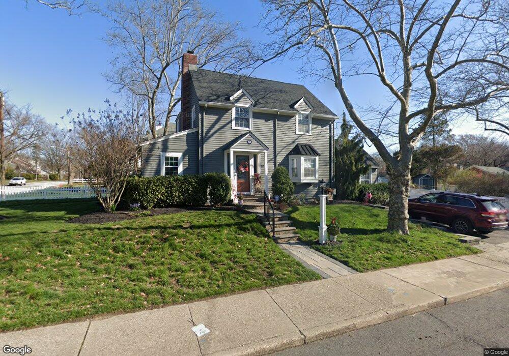
501 Maple Ave Haddonfield, NJ 08033
Estimated Value: $715,285 - $780,000
3
Beds
2
Baths
1,444
Sq Ft
$527/Sq Ft
Est. Value
About This Home
This home is located at 501 Maple Ave, Haddonfield, NJ 08033 and is currently estimated at $760,321, approximately $526 per square foot. 501 Maple Ave is a home located in Camden County with nearby schools including Haddonfield Memorial High School, Christ the King Regional School, and Haddonfield Friends School.
Ownership History
Date
Name
Owned For
Owner Type
Purchase Details
Closed on
Nov 30, 2011
Sold by
Pittenger Michele M
Bought by
Huffman Diana R
Current Estimated Value
Purchase Details
Closed on
Aug 15, 2003
Sold by
Krabill Laura E
Bought by
Pittenger Michele M
Home Financials for this Owner
Home Financials are based on the most recent Mortgage that was taken out on this home.
Original Mortgage
$301,500
Interest Rate
6.35%
Purchase Details
Closed on
May 21, 1999
Sold by
Rhody Fred L
Bought by
Krabill Laura E
Home Financials for this Owner
Home Financials are based on the most recent Mortgage that was taken out on this home.
Original Mortgage
$170,900
Interest Rate
6.9%
Create a Home Valuation Report for This Property
The Home Valuation Report is an in-depth analysis detailing your home's value as well as a comparison with similar homes in the area
Home Values in the Area
Average Home Value in this Area
Purchase History
| Date | Buyer | Sale Price | Title Company |
|---|---|---|---|
| Huffman Diana R | $363,000 | -- | |
| Pittenger Michele M | $335,000 | -- | |
| Krabill Laura E | $179,900 | -- |
Source: Public Records
Mortgage History
| Date | Status | Borrower | Loan Amount |
|---|---|---|---|
| Previous Owner | Pittenger Michele M | $301,500 | |
| Previous Owner | Krabill Laura E | $170,900 |
Source: Public Records
Tax History
| Year | Tax Paid | Tax Assessment Tax Assessment Total Assessment is a certain percentage of the fair market value that is determined by local assessors to be the total taxable value of land and additions on the property. | Land | Improvement |
|---|---|---|---|---|
| 2025 | $11,577 | $358,300 | $201,100 | $157,200 |
| 2024 | $11,423 | $358,300 | $201,100 | $157,200 |
| 2023 | $11,423 | $358,300 | $201,100 | $157,200 |
| 2022 | $11,333 | $358,300 | $201,100 | $157,200 |
| 2021 | $11,276 | $358,300 | $201,100 | $157,200 |
| 2020 | $10,731 | $343,400 | $201,100 | $142,300 |
| 2019 | $106 | $343,400 | $201,100 | $142,300 |
| 2018 | $10,518 | $343,400 | $201,100 | $142,300 |
| 2017 | $10,268 | $343,400 | $201,100 | $142,300 |
| 2016 | $10,038 | $343,400 | $201,100 | $142,300 |
| 2015 | $9,759 | $343,400 | $201,100 | $142,300 |
| 2014 | $9,543 | $343,400 | $201,100 | $142,300 |
Source: Public Records
Map
Nearby Homes
- 612 Grove St
- 501 Somerset Dr
- 801 Cedar Ave
- 144 Marne Ave
- 123 Hawthorne Ave
- 870 Cedar Ave
- 133 Windsor Ave
- 209 Haddonfield Commons
- 107 Colonial Ave
- 1602 Park Blvd
- 237 Virginia Ave
- 110 B Cherry Parke
- 27 School Ln
- 210 Meadow Dr
- 128 E Cherry Parke
- 209 Park Place Dr
- 419 Park Place Dr
- 414 Park Place Dr
- 1 Webster Ave
- 13 Wilkins Ave
- 603 Cedar Ave
- 544 Maple Ave
- 605 Cedar Ave
- 540 Maple Ave
- 600 Grove St Unit 1
- 600 Grove St Unit 2
- 600 Grove St Unit 4
- 600 Grove St Unit 3
- 600 Grove St
- 604 Grove St
- 560 Maple Ave
- 606 Grove St
- 530 Maple Ave
- 600 Cedar Ave
- 602 Cedar Ave
- 611 Cedar Ave
- 315 Rhoads Ave
- 526 Maple Ave
- 610 Grove St
- 307 Rhoads Ave