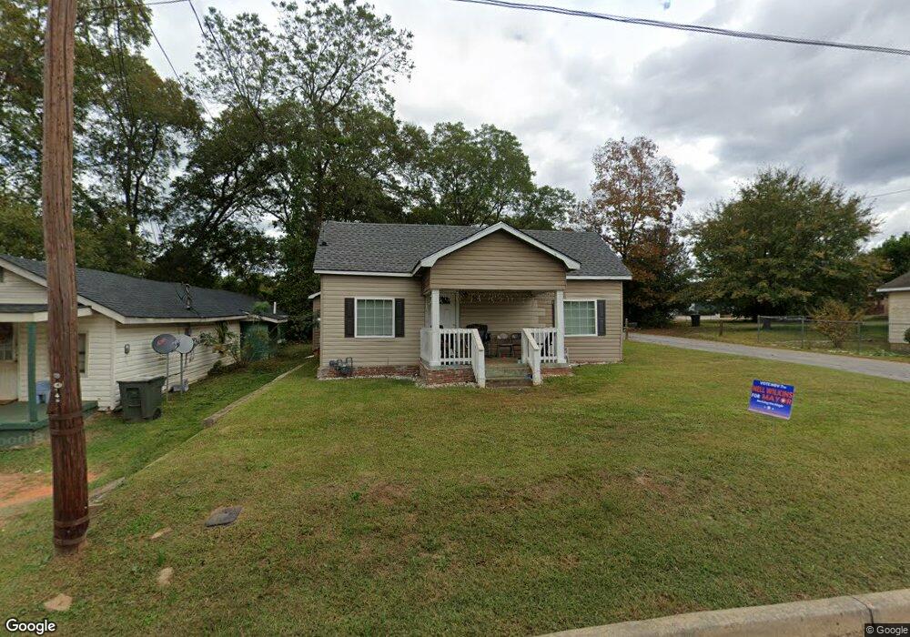
501 Max Anderson Dr Manchester, GA 31816
Estimated Value: $80,309 - $102,000
3
Beds
1
Bath
1,296
Sq Ft
$70/Sq Ft
Est. Value
About This Home
This home is located at 501 Max Anderson Dr, Manchester, GA 31816 and is currently estimated at $91,327, approximately $70 per square foot. 501 Max Anderson Dr is a home located in Meriwether County with nearby schools including Mountain View Elementary School, Manchester Middle School, and Manchester High School.
Ownership History
Date
Name
Owned For
Owner Type
Purchase Details
Closed on
Mar 28, 2016
Sold by
Carter Derrick M
Bought by
Carter Derrick M and Carter Shawanda
Current Estimated Value
Purchase Details
Closed on
Jul 1, 2005
Sold by
Childs Ernest
Bought by
Carter Derrick M
Home Financials for this Owner
Home Financials are based on the most recent Mortgage that was taken out on this home.
Original Mortgage
$10,500
Interest Rate
5.54%
Mortgage Type
New Conventional
Create a Home Valuation Report for This Property
The Home Valuation Report is an in-depth analysis detailing your home's value as well as a comparison with similar homes in the area
Home Values in the Area
Average Home Value in this Area
Purchase History
| Date | Buyer | Sale Price | Title Company |
|---|---|---|---|
| Carter Derrick M | $26,300 | -- | |
| Carter Derrick M | $12,000 | -- |
Source: Public Records
Mortgage History
| Date | Status | Borrower | Loan Amount |
|---|---|---|---|
| Previous Owner | Carter Derrick M | $10,500 |
Source: Public Records
Tax History Compared to Growth
Tax History
| Year | Tax Paid | Tax Assessment Tax Assessment Total Assessment is a certain percentage of the fair market value that is determined by local assessors to be the total taxable value of land and additions on the property. | Land | Improvement |
|---|---|---|---|---|
| 2024 | $515 | $10,920 | $1,080 | $9,840 |
| 2023 | $529 | $10,920 | $1,080 | $9,840 |
| 2022 | $529 | $10,920 | $1,080 | $9,840 |
| 2021 | $348 | $10,920 | $1,080 | $9,840 |
| 2020 | $338 | $10,920 | $1,080 | $9,840 |
| 2019 | $339 | $10,520 | $680 | $9,840 |
| 2018 | $343 | $10,520 | $680 | $9,840 |
| 2017 | $347 | $10,520 | $680 | $9,840 |
| 2016 | $346 | $10,520 | $680 | $9,840 |
| 2015 | $347 | $10,520 | $680 | $9,840 |
| 2014 | $347 | $10,520 | $680 | $9,840 |
| 2013 | -- | $10,520 | $680 | $9,840 |
Source: Public Records
Map
Nearby Homes
- 322 Chalybeate St
- 603 Atlantic St
- 802 Jd Parham Dr
- 919 L S Glencamp Way
- 13.27 ACRES Roosevelt Hwy
- 305 Holy Hill Place
- 200 Hunt Cir
- 77 Cordwood St
- 12 Truitt St
- 522 4th St
- 94 Cato St
- 304 4th St
- 36 E 2nd St
- 408 Broad St
- 16 North St
- 21 North St
- 514 Farris Blvd
- 434 Parkman Dr
- 604 Farris Blvd
- 617 Mayes Way
- 503 Max Anderson Dr
- 505 Max Anderson Dr
- 509 Max Anderson Dr
- 405 Max Anderson Dr
- 546 Chalybeate St
- 414 W Perry St
- 507 Max Anderson Dr
- 416 W Perry St
- 513 Oconee St
- 404 W Perry St
- 500 Max Anderson Dr
- 508 Max Anderson Dr
- 512 Oconee St
- 504 Max Anderson Dr
- 515 Oconee St
- 514 Oconee St
- 509 Martin Luther King jr Dr
- 511 Martin Luther King jr Dr
- 0 Martin Luther King Dr
- 513 Martin Luther King jr Dr