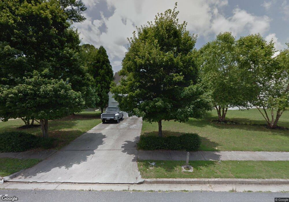
501 Michael Cir Monroe, GA 30655
Estimated Value: $325,000 - $353,746
4
Beds
3
Baths
2,672
Sq Ft
$126/Sq Ft
Est. Value
About This Home
This home is located at 501 Michael Cir, Monroe, GA 30655 and is currently estimated at $336,687, approximately $126 per square foot. 501 Michael Cir is a home located in Walton County with nearby schools including Atha Road Elementary School, Youth Middle School, and Walnut Grove High School.
Ownership History
Date
Name
Owned For
Owner Type
Purchase Details
Closed on
Apr 30, 2009
Sold by
Nomura Inc Series 2006-Fm2
Bought by
Morin Eric
Current Estimated Value
Home Financials for this Owner
Home Financials are based on the most recent Mortgage that was taken out on this home.
Original Mortgage
$111,346
Outstanding Balance
$70,045
Interest Rate
5.01%
Mortgage Type
FHA
Estimated Equity
$266,642
Purchase Details
Closed on
Mar 3, 2009
Sold by
Gibson Dawn
Bought by
Nomura Inc Series 2006-Fm2
Home Financials for this Owner
Home Financials are based on the most recent Mortgage that was taken out on this home.
Original Mortgage
$111,346
Outstanding Balance
$70,045
Interest Rate
5.01%
Mortgage Type
FHA
Estimated Equity
$266,642
Purchase Details
Closed on
May 12, 2006
Sold by
Scenic Hms
Bought by
Gibson Dawn
Home Financials for this Owner
Home Financials are based on the most recent Mortgage that was taken out on this home.
Original Mortgage
$143,991
Interest Rate
8.55%
Mortgage Type
New Conventional
Create a Home Valuation Report for This Property
The Home Valuation Report is an in-depth analysis detailing your home's value as well as a comparison with similar homes in the area
Home Values in the Area
Average Home Value in this Area
Purchase History
| Date | Buyer | Sale Price | Title Company |
|---|---|---|---|
| Morin Eric | $113,400 | -- | |
| Nomura Inc Series 2006-Fm2 | $62,000 | -- | |
| Gibson Dawn | $160,000 | -- |
Source: Public Records
Mortgage History
| Date | Status | Borrower | Loan Amount |
|---|---|---|---|
| Open | Morin Eric | $111,346 | |
| Previous Owner | Gibson Dawn | $143,991 |
Source: Public Records
Tax History
| Year | Tax Paid | Tax Assessment Tax Assessment Total Assessment is a certain percentage of the fair market value that is determined by local assessors to be the total taxable value of land and additions on the property. | Land | Improvement |
|---|---|---|---|---|
| 2025 | $3,416 | $129,960 | $22,000 | $107,960 |
| 2024 | $3,315 | $124,760 | $22,000 | $102,760 |
| 2023 | $3,619 | $132,480 | $22,000 | $110,480 |
| 2022 | $3,206 | $105,520 | $17,200 | $88,320 |
| 2021 | $2,555 | $77,640 | $13,200 | $64,440 |
| 2020 | $2,446 | $71,560 | $12,400 | $59,160 |
| 2019 | $2,359 | $61,560 | $12,000 | $49,560 |
| 2018 | $2,135 | $61,560 | $12,000 | $49,560 |
| 2017 | $2,194 | $52,360 | $8,000 | $44,360 |
| 2016 | $1,954 | $52,080 | $8,000 | $44,080 |
| 2015 | $1,789 | $45,440 | $8,000 | $37,440 |
| 2014 | $1,496 | $36,600 | $0 | $0 |
Source: Public Records
Map
Nearby Homes
- 679 Michael Cir
- 675 Michael Cir
- 661 Michael Cir
- 720 Overlook Crest
- 509 Mill Farm Ln
- 943 Masters Dr Unit 2
- 911 Woodchase Dr
- 631 St Ives Walk
- 921 Horizon Ct
- 925 Tigers Way
- 810 Hampton
- 250 Martin Luther King Junior Blvd
- 0 Pine View Dr Unit CL350808
- 0 Pine View Dr Unit 10706074
- 0 Pine View Dr Unit 7731449
- 505 Breedlove Dr
- 506 Breedlove Dr
- 150 Mountain View Dr
- 299 Claiborne Way
- 1269 Georgia 138
- 503 Michael Cir
- 703 Overlook Crest
- 588 Michael Etchison Rd
- 505 Michael Cir
- 510 Michael Cir
- 704 Overlook Crest
- 1175 Michael Etchison Rd
- 705 Overlook Crest
- 568 Michael Etchison Rd
- 514 Michael Cir
- 706 Overlook Crest
- 509 Michael Cir
- 511 Michael Cir
- 709 Overlook Crest
- 671 Michael Cir
- 513 Michael Cir
- 516 Michael Cir
- 710 Overlook Crest
- 670 Michael Cir
- 548 Michael Etchison Rd
Your Personal Tour Guide
Ask me questions while you tour the home.