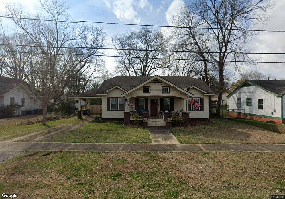
501 N Bridge St Wetumpka, AL 36092
Estimated Value: $122,000 - $173,000
3
Beds
2
Baths
1,571
Sq Ft
$98/Sq Ft
Est. Value
About This Home
This home is located at 501 N Bridge St, Wetumpka, AL 36092 and is currently estimated at $153,214, approximately $97 per square foot. 501 N Bridge St is a home located in Elmore County with nearby schools including Wetumpka Elementary School, Wetumpka Middle School, and Wetumpka High School.
Ownership History
Date
Name
Owned For
Owner Type
Purchase Details
Closed on
Nov 8, 2021
Sold by
Markos Andy
Bought by
Murrell Jeff and Murrell Melissa
Current Estimated Value
Home Financials for this Owner
Home Financials are based on the most recent Mortgage that was taken out on this home.
Original Mortgage
$125,000
Outstanding Balance
$114,573
Interest Rate
3.01%
Mortgage Type
Seller Take Back
Estimated Equity
$38,641
Purchase Details
Closed on
Aug 16, 2021
Sold by
Short Anthony Curtis
Bought by
Markos Andy
Purchase Details
Closed on
Jan 3, 2011
Sold by
Cousin Charles M
Bought by
Cousins Zoe Ann
Create a Home Valuation Report for This Property
The Home Valuation Report is an in-depth analysis detailing your home's value as well as a comparison with similar homes in the area
Home Values in the Area
Average Home Value in this Area
Purchase History
| Date | Buyer | Sale Price | Title Company |
|---|---|---|---|
| Murrell Jeff | $125,000 | None Available | |
| Markos Andy | $73,000 | None Available | |
| Cousins Zoe Ann | -- | -- |
Source: Public Records
Mortgage History
| Date | Status | Borrower | Loan Amount |
|---|---|---|---|
| Open | Murrell Jeff | $125,000 |
Source: Public Records
Tax History Compared to Growth
Tax History
| Year | Tax Paid | Tax Assessment Tax Assessment Total Assessment is a certain percentage of the fair market value that is determined by local assessors to be the total taxable value of land and additions on the property. | Land | Improvement |
|---|---|---|---|---|
| 2024 | $335 | $10,240 | $0 | $0 |
| 2023 | $314 | $102,310 | $13,810 | $88,500 |
| 2022 | $454 | $15,122 | $2,762 | $12,360 |
| 2021 | $421 | $14,042 | $2,762 | $11,280 |
| 2020 | $408 | $13,602 | $2,762 | $10,840 |
| 2019 | $408 | $13,602 | $2,762 | $10,840 |
| 2018 | $393 | $13,102 | $2,762 | $10,340 |
| 2017 | $382 | $12,720 | $2,762 | $9,958 |
| 2016 | $420 | $12,342 | $2,762 | $9,580 |
| 2014 | $418 | $61,310 | $13,810 | $47,500 |
Source: Public Records
Map
Nearby Homes
- 14 Cross St
- 905 Milly Francis St
- 107 Kim Ct
- 0 Chapel Rd
- 000 Bald Knob Rd
- 173 Bristol Ln
- 112 Indian Hill Dr
- 75 Gaines Ct
- 43 Kelsey Way
- 40 Kelsey Way
- 44 Kelsey Way
- 39 Kelsey Ct
- Lot 8 Trillium Rd
- 00 U S 231
- 5911 U S 231
- 103 River Chase Ct
- 281 Canal Crossing
- 19 Canal Crossing
- Cottonwood Plan at The Cove at Quail Run
- Aspen Plan at The Cove at Quail Run
- 503 N Bridge St
- 411 N Bridge St
- 103 W Osceola St
- 505 N Bridge St
- 502 Government St
- 105 W Osceola St
- 504 Government St
- 1 Alabama 111
- 2 Alabama 111
- 409 N Bridge St
- 0 N Bridge St
- 506 Government St
- 502 N Bridge St
- 601 N Bridge St
- 410 N Bridge St
- 104 W Osceola St
- 408 N Bridge St
- 406 Government St
- 407 N Bridge St
- 0 Government St