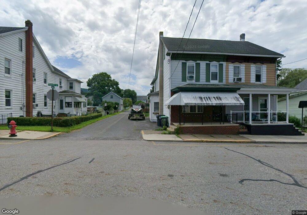
501 N Hobart St Ashland, PA 17921
Estimated Value: $127,596 - $211,000
3
Beds
1
Bath
1,608
Sq Ft
$107/Sq Ft
Est. Value
About This Home
This home is located at 501 N Hobart St, Ashland, PA 17921 and is currently estimated at $171,649, approximately $106 per square foot. 501 N Hobart St is a home with nearby schools including North Schuylkill Elementary School and North Schuylkill Junior/Senior High School.
Ownership History
Date
Name
Owned For
Owner Type
Purchase Details
Closed on
Nov 29, 2023
Sold by
Stank Kelly
Bought by
Kost Jarrod
Current Estimated Value
Home Financials for this Owner
Home Financials are based on the most recent Mortgage that was taken out on this home.
Original Mortgage
$97,000
Outstanding Balance
$95,430
Interest Rate
7.63%
Mortgage Type
New Conventional
Estimated Equity
$76,219
Purchase Details
Closed on
Oct 28, 2010
Sold by
Snyder Lisa A and Snyder Joan J
Bought by
Stank Kelly
Home Financials for this Owner
Home Financials are based on the most recent Mortgage that was taken out on this home.
Original Mortgage
$46,400
Interest Rate
4.35%
Mortgage Type
New Conventional
Create a Home Valuation Report for This Property
The Home Valuation Report is an in-depth analysis detailing your home's value as well as a comparison with similar homes in the area
Home Values in the Area
Average Home Value in this Area
Purchase History
| Date | Buyer | Sale Price | Title Company |
|---|---|---|---|
| Kost Jarrod | -- | Schuylkill Abstract | |
| Stank Kelly | $57,000 | None Available |
Source: Public Records
Mortgage History
| Date | Status | Borrower | Loan Amount |
|---|---|---|---|
| Open | Kost Jarrod | $97,000 | |
| Previous Owner | Stank Kelly | $46,400 |
Source: Public Records
Tax History Compared to Growth
Tax History
| Year | Tax Paid | Tax Assessment Tax Assessment Total Assessment is a certain percentage of the fair market value that is determined by local assessors to be the total taxable value of land and additions on the property. | Land | Improvement |
|---|---|---|---|---|
| 2025 | $2,090 | $26,960 | $6,015 | $20,945 |
| 2024 | $1,931 | $26,960 | $6,015 | $20,945 |
| 2023 | $1,931 | $26,960 | $6,015 | $20,945 |
| 2022 | $1,888 | $26,960 | $6,015 | $20,945 |
| 2021 | $1,837 | $26,960 | $6,015 | $20,945 |
| 2020 | $1,801 | $26,960 | $6,015 | $20,945 |
| 2018 | $1,737 | $26,960 | $6,015 | $20,945 |
| 2017 | $1,691 | $26,960 | $6,015 | $20,945 |
| 2015 | -- | $26,960 | $6,015 | $20,945 |
| 2011 | -- | $15,690 | $0 | $0 |
Source: Public Records
Map
Nearby Homes
- 323 N Hobart St
- 505 Mcknight St
- 310 Hobart St
- 0 Dutchtown Rd
- Cambridge Plan at Country Club Estates
- New Yorker Plan at Country Club Estates
- Juniper Plan at Country Club Estates
- Stafford Plan at Country Club Estates
- Iowa Plan at Country Club Estates
- 604 Airport Rd
- 132 Turnpike Rd
- 572 Airport Rd
- 630 S Hoffman Blvd
- 1004 Brock St
- 924 Brock St
- 730 Brock St
- 923 Brock St
- 1320 Spruce St
- 1038 Spruce St
- 1420 Walnut St