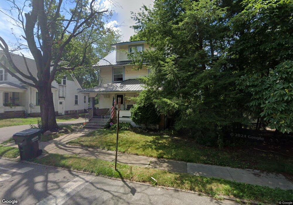
501 N Mill St Louisville, OH 44641
Estimated Value: $136,000 - $154,000
3
Beds
1
Bath
1,424
Sq Ft
$101/Sq Ft
Est. Value
About This Home
This home is located at 501 N Mill St, Louisville, OH 44641 and is currently estimated at $143,992, approximately $101 per square foot. 501 N Mill St is a home located in Stark County with nearby schools including Louisville High School and St. Thomas Aquinas High School & Middle School.
Ownership History
Date
Name
Owned For
Owner Type
Purchase Details
Closed on
Feb 14, 2007
Sold by
Wohlwend Eric M and Wohlwend Lila J
Bought by
Skyworks Ltd
Current Estimated Value
Purchase Details
Closed on
Jan 19, 2007
Sold by
Skyworks Ltd
Bought by
Wohlwend Eric M and Wohlwend Lila J
Purchase Details
Closed on
Nov 7, 2006
Sold by
Us Bank Na
Bought by
Skyworks Ltd
Purchase Details
Closed on
Oct 25, 2006
Sold by
Foresha Greg R and Brumbaugh Andrea
Bought by
Us Bank Na
Purchase Details
Closed on
Nov 28, 2003
Sold by
Gero Ronald E
Bought by
Foresha Greg R
Home Financials for this Owner
Home Financials are based on the most recent Mortgage that was taken out on this home.
Original Mortgage
$89,195
Interest Rate
6.07%
Mortgage Type
FHA
Create a Home Valuation Report for This Property
The Home Valuation Report is an in-depth analysis detailing your home's value as well as a comparison with similar homes in the area
Home Values in the Area
Average Home Value in this Area
Purchase History
| Date | Buyer | Sale Price | Title Company |
|---|---|---|---|
| Skyworks Ltd | -- | Attorney | |
| Wohlwend Eric M | -- | Attorney | |
| Skyworks Ltd | $49,000 | Attorney | |
| Us Bank Na | $60,000 | None Available | |
| Foresha Greg R | $89,900 | -- |
Source: Public Records
Mortgage History
| Date | Status | Borrower | Loan Amount |
|---|---|---|---|
| Previous Owner | Foresha Greg R | $89,195 |
Source: Public Records
Tax History Compared to Growth
Tax History
| Year | Tax Paid | Tax Assessment Tax Assessment Total Assessment is a certain percentage of the fair market value that is determined by local assessors to be the total taxable value of land and additions on the property. | Land | Improvement |
|---|---|---|---|---|
| 2025 | -- | $33,640 | $7,980 | $25,660 |
| 2024 | -- | $33,640 | $7,980 | $25,660 |
| 2023 | $890 | $20,200 | $4,900 | $15,300 |
| 2022 | $895 | $20,200 | $4,900 | $15,300 |
| 2021 | $897 | $20,200 | $4,900 | $15,300 |
| 2020 | $748 | $18,200 | $4,410 | $13,790 |
| 2019 | $283 | $18,200 | $4,410 | $13,790 |
| 2018 | $1,035 | $25,210 | $6,130 | $19,080 |
| 2017 | $1,088 | $25,590 | $5,180 | $20,410 |
| 2016 | $1,110 | $25,590 | $5,180 | $20,410 |
| 2015 | $1,113 | $25,590 | $5,180 | $20,410 |
| 2014 | $1,112 | $23,770 | $4,800 | $18,970 |
| 2013 | $560 | $23,770 | $4,800 | $18,970 |
Source: Public Records
Map
Nearby Homes
- 325 Lincoln Ave
- 107 E Broad St
- 204 E Broad St
- 728 E Broad St
- 300 Kennedy St
- 308 Superior St
- 428 Honeycrisp Dr NE
- 3047 Mcintosh Dr NE
- 432 Honeycrisp Dr NE
- 2962 Mcintosh Dr NE
- 2963 Mcintosh Dr NE
- 430 Honeycrisp Dr NE
- 2957 Mcintosh Dr NE
- 520 S Silver St
- 1170 Winding Ridge Ave
- 0 Michigan Blvd
- 910 Crosswyck Cir
- 641 S Nickelplate St
- 316 E Reno Dr
- 614 Reno Dr