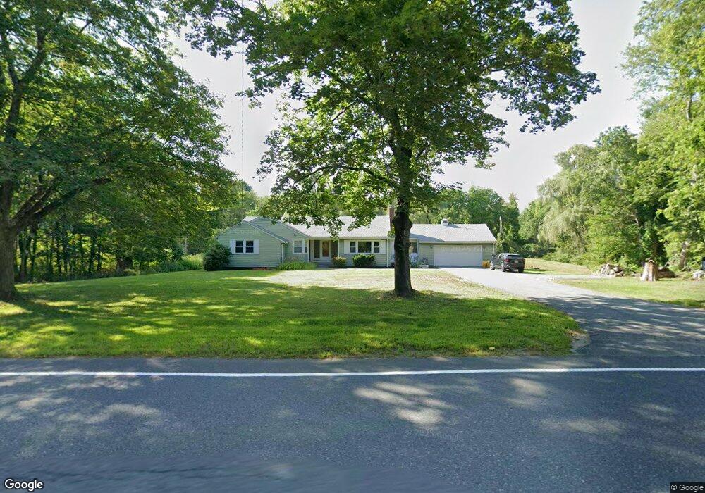
501 Newtown Rd Littleton, MA 01460
Littleton Common NeighborhoodEstimated Value: $693,229 - $874,000
3
Beds
4
Baths
1,655
Sq Ft
$468/Sq Ft
Est. Value
About This Home
This home is located at 501 Newtown Rd, Littleton, MA 01460 and is currently estimated at $774,807, approximately $468 per square foot. 501 Newtown Rd is a home located in Middlesex County with nearby schools including Shaker Lane Elementary School, Russell Street Elementary School, and Littleton Middle School.
Ownership History
Date
Name
Owned For
Owner Type
Purchase Details
Closed on
Oct 30, 2013
Sold by
Donnelly James J and Donnelly Deborah A
Bought by
Donnelly Deborah A
Current Estimated Value
Purchase Details
Closed on
Aug 31, 2004
Sold by
Donnelly James J
Bought by
Donnelly Deborah A and Donnelly James J
Purchase Details
Closed on
Feb 7, 1984
Bought by
Donnelly Deborah A
Create a Home Valuation Report for This Property
The Home Valuation Report is an in-depth analysis detailing your home's value as well as a comparison with similar homes in the area
Home Values in the Area
Average Home Value in this Area
Purchase History
| Date | Buyer | Sale Price | Title Company |
|---|---|---|---|
| Donnelly Deborah A | -- | -- | |
| Donnelly Deborah A | -- | -- | |
| Donnelly Deborah A | -- | -- |
Source: Public Records
Mortgage History
| Date | Status | Borrower | Loan Amount |
|---|---|---|---|
| Previous Owner | Donnelly Deborah A | $198,778 | |
| Previous Owner | Donnelly Deborah A | $139,000 |
Source: Public Records
Tax History Compared to Growth
Tax History
| Year | Tax Paid | Tax Assessment Tax Assessment Total Assessment is a certain percentage of the fair market value that is determined by local assessors to be the total taxable value of land and additions on the property. | Land | Improvement |
|---|---|---|---|---|
| 2025 | $92 | $619,300 | $227,200 | $392,100 |
| 2024 | $8,629 | $581,500 | $220,800 | $360,700 |
| 2023 | $8,515 | $524,000 | $225,100 | $298,900 |
| 2022 | $8,550 | $482,800 | $225,100 | $257,700 |
| 2021 | $8,243 | $465,700 | $216,500 | $249,200 |
| 2020 | $7,824 | $440,300 | $199,900 | $240,400 |
| 2019 | $7,610 | $417,200 | $174,400 | $242,800 |
| 2018 | $6,989 | $385,300 | $172,200 | $213,100 |
| 2017 | $6,861 | $378,000 | $172,200 | $205,800 |
| 2016 | $6,625 | $374,500 | $172,200 | $202,300 |
| 2015 | $6,451 | $356,400 | $148,800 | $207,600 |
Source: Public Records
Map
Nearby Homes
- 4 Omega Way
- 35 Queen Rd
- 305 Harwood Ave
- 146 Tahattawan Rd
- 18 Long Lake Rd
- 16 Fletcher Ln
- 4 Mars Place
- 115 Goldsmith St
- 25 Grist Mill Rd
- 9 Breezy Point Rd
- 4 Huron Rd
- 34 Baldwin Hill Rd
- 55 Jennifer St
- 12 Paula Beth St
- 484 Great Road -3
- 484 Great Road -4
- 484 Great Road -6
- 336 King St Unit 105
- 221 Foster St
- 140 Butternut Hollow Unit 140
- 485 Newtown Rd
- 498 Newtown Rd
- 511 Newtown Rd
- 509 Newtown Rd
- 496 Newtown Rd
- 512 Newtown Rd
- 486 Newtown Rd
- 517 Newtown Rd
- 481 Newtown Rd
- 370 Harwood Ave
- 370 Harwood Ave Unit 1
- 370 Harwood Ave
- 370 Harwood Ave Unit Rear
- 370 Harwood Ave Unit n/a
- 478 Newtown Rd
- 480 Newtown Rd
- 369 Harwood Ave
- 472 Newtown Rd
- 465 Newtown Rd
- 525 Newtown Rd