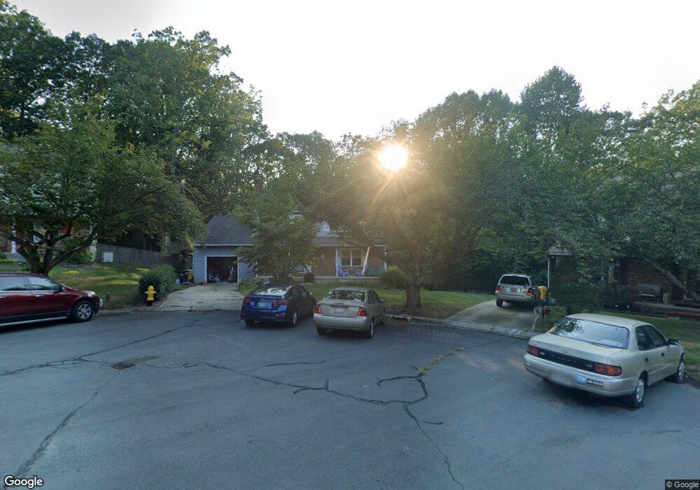
501 Norton Ln Arnold, MD 21012
Estimated Value: $663,000 - $688,663
4
Beds
4
Baths
2,073
Sq Ft
$325/Sq Ft
Est. Value
About This Home
This home is located at 501 Norton Ln, Arnold, MD 21012 and is currently estimated at $674,666, approximately $325 per square foot. 501 Norton Ln is a home located in Anne Arundel County with nearby schools including Broadneck Elementary School, Magothy River Middle School, and Broadneck High School.
Ownership History
Date
Name
Owned For
Owner Type
Purchase Details
Closed on
Nov 10, 2003
Sold by
Goodman Philip J
Bought by
Mclean C Grey C and Mclean Sarah R
Current Estimated Value
Purchase Details
Closed on
Nov 5, 1997
Sold by
Goodman Philip J
Bought by
Goodman Philip J
Purchase Details
Closed on
Sep 13, 1993
Sold by
Samples P E
Bought by
Goodman Philip J
Home Financials for this Owner
Home Financials are based on the most recent Mortgage that was taken out on this home.
Original Mortgage
$184,000
Interest Rate
7.21%
Create a Home Valuation Report for This Property
The Home Valuation Report is an in-depth analysis detailing your home's value as well as a comparison with similar homes in the area
Home Values in the Area
Average Home Value in this Area
Purchase History
| Date | Buyer | Sale Price | Title Company |
|---|---|---|---|
| Mclean C Grey C | $367,500 | -- | |
| Goodman Philip J | -- | -- | |
| Goodman Philip J | $184,000 | -- |
Source: Public Records
Mortgage History
| Date | Status | Borrower | Loan Amount |
|---|---|---|---|
| Previous Owner | Goodman Philip J | $184,000 | |
| Closed | Mclean C Grey C | -- |
Source: Public Records
Tax History Compared to Growth
Tax History
| Year | Tax Paid | Tax Assessment Tax Assessment Total Assessment is a certain percentage of the fair market value that is determined by local assessors to be the total taxable value of land and additions on the property. | Land | Improvement |
|---|---|---|---|---|
| 2025 | $6,005 | $536,700 | -- | -- |
| 2024 | $6,005 | $502,500 | $258,400 | $244,100 |
| 2023 | $5,882 | $498,967 | $0 | $0 |
| 2022 | $5,512 | $495,433 | $0 | $0 |
| 2020 | $5,277 | $477,333 | $0 | $0 |
| 2019 | $5,180 | $462,767 | $0 | $0 |
| 2018 | $4,545 | $448,200 | $218,400 | $229,800 |
| 2017 | $4,916 | $444,833 | $0 | $0 |
| 2016 | -- | $441,467 | $0 | $0 |
| 2015 | -- | $438,100 | $0 | $0 |
| 2014 | -- | $434,167 | $0 | $0 |
Source: Public Records
Map
Nearby Homes
- 1256 Crowell Ct
- 249 Overleaf Dr
- 276 Overleaf Dr
- 303 Ternwing Dr
- 539 Greenblades Ct
- 413 Colonial Ridge Ln
- 1194 Palmwood Ct
- 1078 Brightleaf Ct
- 1182 Palmwood Ct
- 559 Melissa Ct
- 923 Whitstable Blvd
- 1260 Masters Dr
- 19 Roe Ln
- 1241 Tamarack Trail
- 478 Bay Green Dr
- 817 Barrett Ave
- 00 Mazie
- 0000 Mazie
- 1419 Mariner Dr
- 1512 Winterberry Dr
- 503 Norton Ln
- 500 Norton Ln
- 505 Norton Ln
- 502 Norton Ln
- 504 Norton Ln
- 506 Norton Ln
- 507 Norton Ln
- 508 Norton Ln
- 509 Norton Ln
- 510 Norton Ln
- 511 Norton Ln
- 512 Norton Ln
- 502 Macmillan Ct
- 1221 Summerwood Ct
- 1221 Summerwood Ct Unit 91
- 1219 Summerwood Ct Unit 92
- 1225 Summerwood Ct
- 1225 Summerwood Ct Unit 89
- 1227 Summerwood Ct
- 1227 Summerwood Ct Unit 88