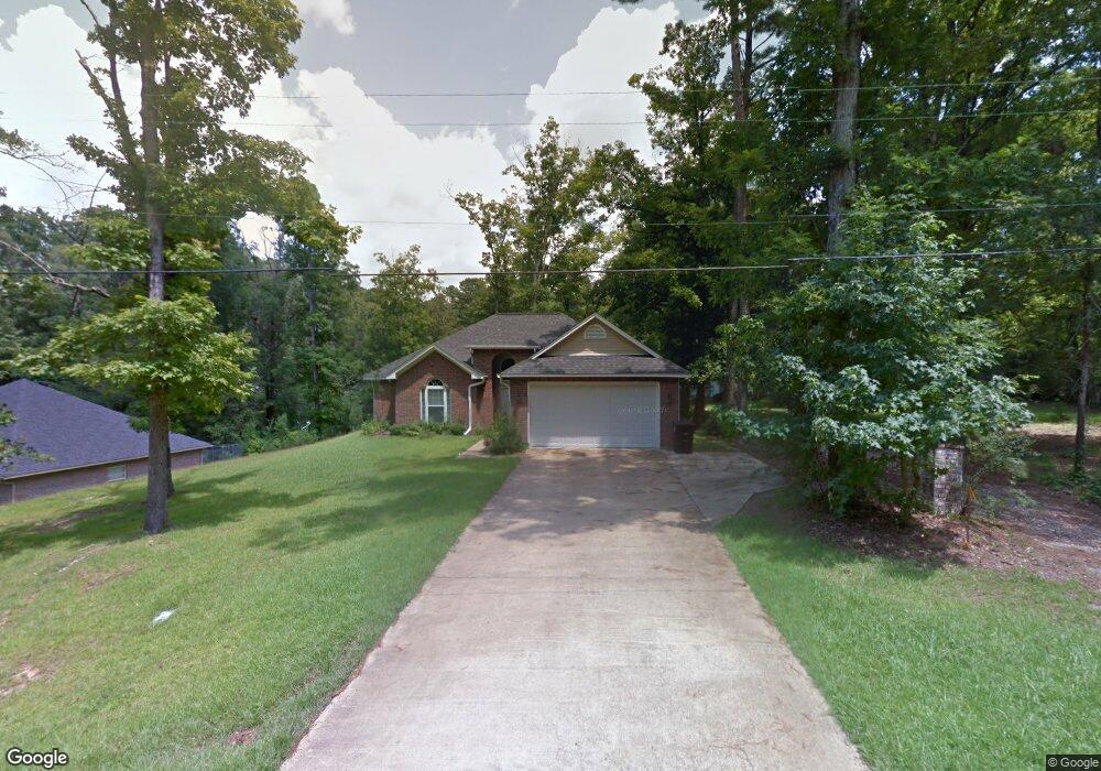
501 Robert St Ruston, LA 71270
Estimated Value: $243,000 - $264,000
3
Beds
2
Baths
2,167
Sq Ft
$115/Sq Ft
Est. Value
About This Home
This home is located at 501 Robert St, Ruston, LA 71270 and is currently estimated at $250,267, approximately $115 per square foot. 501 Robert St is a home located in Lincoln Parish with nearby schools including Cypress Springs Elementary School, Glen View Elementary School, and Ruston Junior High School.
Ownership History
Date
Name
Owned For
Owner Type
Purchase Details
Closed on
Dec 28, 2011
Sold by
Botzong Franklin David and Botzong Sandra Phillips
Bought by
Campbell Alan Philip and Campbell Marta Hudson
Current Estimated Value
Purchase Details
Closed on
Aug 4, 2008
Sold by
Placor Investments Llc
Bought by
Botzong Franklin David and Botzong Sandra Phillips
Home Financials for this Owner
Home Financials are based on the most recent Mortgage that was taken out on this home.
Original Mortgage
$200,000
Interest Rate
6.4%
Mortgage Type
Purchase Money Mortgage
Create a Home Valuation Report for This Property
The Home Valuation Report is an in-depth analysis detailing your home's value as well as a comparison with similar homes in the area
Purchase History
| Date | Buyer | Sale Price | Title Company |
|---|---|---|---|
| Campbell Alan Philip | $165,000 | None Available | |
| Botzong Franklin David | $176,000 | None Available |
Source: Public Records
Mortgage History
| Date | Status | Borrower | Loan Amount |
|---|---|---|---|
| Previous Owner | Botzong Franklin David | $200,000 |
Source: Public Records
Tax History
| Year | Tax Paid | Tax Assessment Tax Assessment Total Assessment is a certain percentage of the fair market value that is determined by local assessors to be the total taxable value of land and additions on the property. | Land | Improvement |
|---|---|---|---|---|
| 2025 | $1,869 | $21,897 | $2,090 | $19,807 |
| 2024 | $1,869 | $21,898 | $2,090 | $19,808 |
| 2023 | $1,734 | $19,513 | $1,235 | $18,278 |
| 2022 | $1,743 | $19,513 | $1,235 | $18,278 |
| 2021 | $1,613 | $19,514 | $1,235 | $18,279 |
| 2020 | $1,523 | $18,329 | $1,235 | $17,094 |
| 2019 | $1,551 | $19,097 | $1,235 | $17,862 |
| 2018 | $1,509 | $19,097 | $1,235 | $17,862 |
| 2017 | $1,512 | $19,097 | $1,235 | $17,862 |
| 2016 | $1,507 | $0 | $0 | $0 |
| 2015 | $1,524 | $17,742 | $1,140 | $16,602 |
| 2013 | $1,548 | $17,742 | $1,140 | $16,602 |
Source: Public Records
Map
Nearby Homes
- 606 University Blvd
- 601 Robert St
- 1702 Wade Dr
- 1704 Wade Dr
- 1502 Shelor Dr
- 2103 Beech Ave
- 000 W Barnett Springs Rd
- 908 S Maple St
- 207 S Maple St
- 316 Western St Unit 314 Western Street,
- Lot 10 King Estate Ln
- 709 W Georgia Ave
- 0 Tech Farm Rd
- 901 Jones St
- 000 W Alabama Ave
- 1501 Caddo St
- 3216 Sequoia Ave
- 134 Clearwater Cir
- 122 Alder Place
- 3100 Sequoia Ave
- 503 Robert St
- 521 Robert St
- 500 Robert St
- 602 University Blvd
- 1700 Lind Dr
- 702 University Blvd
- 1700 Wade Dr
- 506 University Blvd
- 1703 Wade Dr
- 1702 Lind Dr
- 403 Robert St
- 000 Lind Dr
- 504 University Blvd
- 504 Robert St
- 1705 Wade Dr
- 502 University Blvd
- 601 University Blvd
- 605 University Blvd
- 701 University Blvd
- 1705 Lind Dr
Your Personal Tour Guide
Ask me questions while you tour the home.