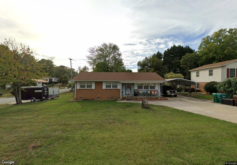
501 Runyon Dr High Point, NC 27260
Greater High Point NeighborhoodEstimated Value: $155,000 - $212,000
About This Home
This home is located at 501 Runyon Dr, High Point, NC 27260 and is currently estimated at $194,148, approximately $162 per square foot. 501 Runyon Dr is a home located in Guilford County with nearby schools including Jamestown Elementary School, Southwest Guilford Middle School, and Southwest Guilford High School.
Ownership History
We collect this data history from publicly available records. To have your information removed, we recommend requesting removal directly through your county’s website.
Purchase Details
Home Financials for this Owner
Home Financials are based on the most recent Mortgage that was taken out on this home.Purchase Details
Home Values in the Area
Average Home Value in this Area
Purchase History
We collect this data history from publicly available records. To have your information removed, we recommend requesting removal directly through your county’s website.
| Date | Buyer | Sale Price | Title Company |
|---|---|---|---|
| $67,000 | None Available | ||
| -- | -- |
Mortgage History
We collect this data history from publicly available records. To have your information removed, we recommend requesting removal directly through your county’s website.
| Date | Status | Borrower | Loan Amount |
|---|---|---|---|
| Open | $66,500 |
Tax History
We collect this data history from publicly available records. To have your information removed, we recommend requesting removal directly through your county’s website.
| Year | Tax Paid | Tax Assessment Tax Assessment Total Assessment is a certain percentage of the fair market value that is determined by local assessors to be the total taxable value of land and additions on the property. | Land | Improvement |
|---|---|---|---|---|
| 2025 | $1,807 | $131,100 | $25,000 | $106,100 |
| 2024 | $1,807 | $131,100 | $25,000 | $106,100 |
| 2023 | $1,807 | $131,100 | $25,000 | $106,100 |
| 2022 | $1,767 | $131,100 | $25,000 | $106,100 |
| 2021 | $1,084 | $78,700 | $13,000 | $65,700 |
| 2020 | $1,084 | $78,700 | $13,000 | $65,700 |
| 2019 | $1,084 | $78,700 | $0 | $0 |
| 2018 | $1,079 | $78,700 | $0 | $0 |
| 2017 | $1,079 | $78,700 | $0 | $0 |
| 2016 | $1,046 | $74,600 | $0 | $0 |
| 2015 | $1,052 | $74,600 | $0 | $0 |
| 2014 | $555 | $74,600 | $0 | $0 |
Map
- 1456 London Dr
- 3206 Crestview Dr
- 120 Orville Dr
- 129 Orville Dr
- 331 S Scientific St
- 122 Orville Dr
- 3203 Loftyview Dr
- 140 Crestwood Cir
- 1103 Wayside St
- 3480 Vickrey Meadow Dr
- 404 Hickory Chapel Rd
- 1006 Gordon St
- 121 Manor Dr
- 400 Junior St
- 307 Brookview Cir
- 509 Valleybrook Dr
- 505 Pomeroy Place
- 224 Friendly Ave
- 319 Dogwood Cir
- 222 Charles Ave
Ask me questions while you tour the home.