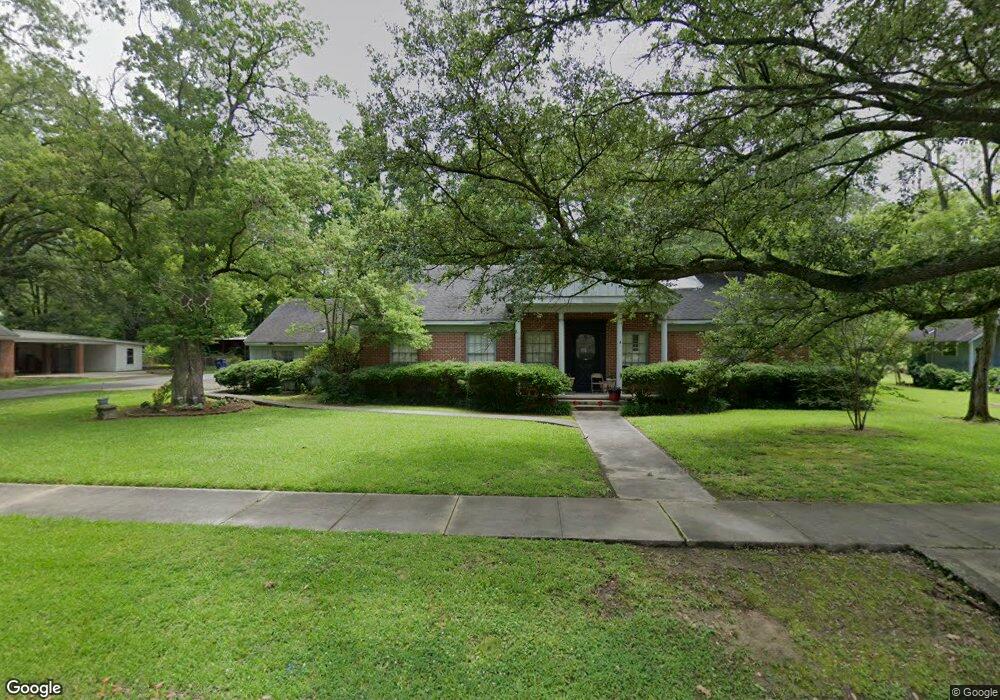
501 S Main St Dermott, AR 71638
Estimated Value: $46,000 - $82,866
--
Bed
2
Baths
1,906
Sq Ft
$32/Sq Ft
Est. Value
About This Home
This home is located at 501 S Main St, Dermott, AR 71638 and is currently estimated at $61,467, approximately $32 per square foot. 501 S Main St is a home located in Chicot County with nearby schools including Dermott Elementary School and Dermott High School.
Ownership History
Date
Name
Owned For
Owner Type
Purchase Details
Closed on
Feb 2, 2016
Sold by
Citi Mortgage Inc
Bought by
Hankton Wendell R
Current Estimated Value
Purchase Details
Closed on
Nov 30, 2006
Bought by
Dennis R Richardson
Purchase Details
Closed on
Oct 3, 2006
Bought by
Citi Mortgage
Purchase Details
Closed on
Nov 12, 2003
Bought by
Foster J
Purchase Details
Closed on
Mar 4, 2002
Bought by
Dennis Richardson
Purchase Details
Closed on
Oct 1, 1978
Bought by
Board Trustee Hendrix College
Purchase Details
Closed on
Apr 1, 1978
Bought by
Estate Ruth Evans Veasey
Purchase Details
Closed on
May 1, 1964
Bought by
Johnston
Create a Home Valuation Report for This Property
The Home Valuation Report is an in-depth analysis detailing your home's value as well as a comparison with similar homes in the area
Home Values in the Area
Average Home Value in this Area
Purchase History
| Date | Buyer | Sale Price | Title Company |
|---|---|---|---|
| Hankton Wendell R | -- | -- | |
| Dennis R Richardson | -- | -- | |
| Citi Mortgage | -- | -- | |
| Foster J | -- | -- | |
| Dennis Richardson | $47,300 | -- | |
| Board Trustee Hendrix College | $45,000 | -- | |
| Estate Ruth Evans Veasey | -- | -- | |
| Johnston | $23,000 | -- |
Source: Public Records
Tax History Compared to Growth
Tax History
| Year | Tax Paid | Tax Assessment Tax Assessment Total Assessment is a certain percentage of the fair market value that is determined by local assessors to be the total taxable value of land and additions on the property. | Land | Improvement |
|---|---|---|---|---|
| 2025 | $553 | $10,470 | $380 | $10,090 |
| 2024 | $553 | $10,470 | $380 | $10,090 |
| 2023 | $503 | $8,910 | $380 | $8,530 |
| 2022 | $590 | $8,910 | $380 | $8,530 |
| 2021 | $590 | $8,910 | $380 | $8,530 |
| 2020 | $503 | $8,910 | $380 | $8,530 |
| 2019 | $561 | $8,910 | $380 | $8,530 |
| 2018 | $507 | $7,700 | $350 | $7,350 |
| 2017 | $434 | $7,700 | $350 | $7,350 |
| 2016 | $499 | $7,700 | $350 | $7,350 |
| 2015 | -- | $7,700 | $350 | $7,350 |
| 2014 | -- | $7,700 | $350 | $7,350 |
| 2013 | -- | $7,700 | $350 | $7,350 |
Source: Public Records
Map
Nearby Homes
- 15 Maulding Dr
- 0 0 Unit N Norwood St
- 0 N Trotter St
- 0 Wolfe St
- Lot 6 N Alma St
- Lot 5 Deer St
- Lot 12 W Mulberry St
- 0 W Mulberry St
- 0 N Hardy St
- Lot 7 W Matthews St
- Lots 8-9 S Gerald Davis Ln
- 608 Highway 35 S
- Vacant land Cater Ln
- 1104 U S 65
- 604 Highway 65 S
- 22 Orlando Dr
- 6 Paul St
- 109 Ashcraft St
- Lots 6-7 Bush St
- Lot 2 Cypress Gardens