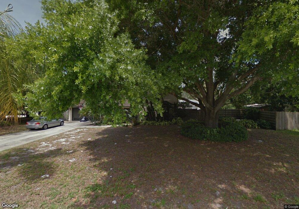
501 Saint Andrews Dr Sarasota, FL 34243
Estimated Value: $406,378 - $448,000
3
Beds
2
Baths
2,005
Sq Ft
$210/Sq Ft
Est. Value
About This Home
This home is located at 501 Saint Andrews Dr, Sarasota, FL 34243 and is currently estimated at $421,595, approximately $210 per square foot. 501 Saint Andrews Dr is a home located in Manatee County with nearby schools including Florine J. Abel Elementary School, Electa Lee Magnet Middle School, and Southeast High School.
Ownership History
Date
Name
Owned For
Owner Type
Purchase Details
Closed on
Feb 25, 2003
Sold by
Garcia Manuel and Garcia Eloisa S
Bought by
Bergere Richard M
Current Estimated Value
Home Financials for this Owner
Home Financials are based on the most recent Mortgage that was taken out on this home.
Original Mortgage
$136,800
Outstanding Balance
$58,810
Interest Rate
5.88%
Estimated Equity
$362,785
Create a Home Valuation Report for This Property
The Home Valuation Report is an in-depth analysis detailing your home's value as well as a comparison with similar homes in the area
Home Values in the Area
Average Home Value in this Area
Purchase History
| Date | Buyer | Sale Price | Title Company |
|---|---|---|---|
| Bergere Richard M | $171,000 | -- |
Source: Public Records
Mortgage History
| Date | Status | Borrower | Loan Amount |
|---|---|---|---|
| Open | Bergere Richard M | $136,800 |
Source: Public Records
Tax History Compared to Growth
Tax History
| Year | Tax Paid | Tax Assessment Tax Assessment Total Assessment is a certain percentage of the fair market value that is determined by local assessors to be the total taxable value of land and additions on the property. | Land | Improvement |
|---|---|---|---|---|
| 2025 | $1,737 | $143,189 | -- | -- |
| 2024 | $1,737 | $139,154 | -- | -- |
| 2023 | $1,690 | $135,101 | $0 | $0 |
| 2022 | $1,628 | $131,166 | $0 | $0 |
| 2021 | $1,541 | $127,346 | $0 | $0 |
| 2020 | $1,577 | $125,588 | $0 | $0 |
| 2019 | $1,539 | $122,764 | $0 | $0 |
| 2018 | $1,511 | $120,475 | $0 | $0 |
| 2017 | $1,395 | $117,997 | $0 | $0 |
| 2016 | $1,380 | $115,570 | $0 | $0 |
| 2015 | $1,382 | $114,767 | $0 | $0 |
| 2014 | $1,382 | $113,856 | $0 | $0 |
| 2013 | $1,351 | $112,173 | $35,700 | $76,473 |
Source: Public Records
Map
Nearby Homes
- 7222 Meadowbrook Dr
- 530 Saint Andrews Dr
- 7304 Claries Dr
- 7213 Las Casas Dr Unit 18
- 7225 Willow St
- 7205 Alderwood Dr
- 361 Whitfield Ave
- 344 Lantana Ave
- 813 Cypress Wood Ln
- 7303 Manatee St
- 608 69th Ave W
- 7019 8th Ct E
- 911 Wee Burn Place
- 6811 6th St W
- 914 Plum Tree Ln
- 0 Jungle Way
- 7326 Shepherd St
- Lot 14 Phillips St
- 7150 N Tamiami Trail Unit S-512
- 7150 N Tamiami Trail Unit S-623
- 462 Drive
- 462 Chevy Chase Dr
- 505 Saint Andrews Dr
- 505 St Andrews Dr
- 466 Chevy Chase Dr
- 7210 Meadowbrook Dr
- 502 Saint Andrews Dr
- 502 Chevy Chase Dr
- 7214 Meadowbrook Dr
- 7206 Meadowbrook Dr
- 509 Saint Andrews Dr
- 506 Saint Andrews Dr
- 7218 Meadowbrook Dr
- 506 Chevy Chase Dr
- 506 Drive
- 7202 Meadowbrook Dr
- 510 Saint Andrews Dr
- 467 Chevy Chase Dr
- 463 Chevy Chase Dr
- 505 Mcarthur Ave