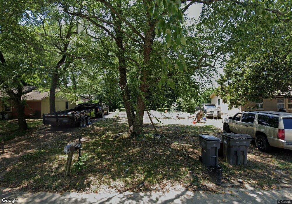
501 State St Jonesboro, AR 72401
Estimated Value: $47,000 - $245,000
--
Bed
2
Baths
1,323
Sq Ft
$110/Sq Ft
Est. Value
About This Home
This home is located at 501 State St, Jonesboro, AR 72401 and is currently estimated at $146,000, approximately $110 per square foot. 501 State St is a home located in Craighead County with nearby schools including Annie Camp Junior High School, The Academies at Jonesboro High School, and Montessori School of Jonesboro.
Ownership History
Date
Name
Owned For
Owner Type
Purchase Details
Closed on
Jun 17, 2021
Sold by
Jerry T Clements Revocable Living Trust and Clements Reeda Ann
Bought by
Camacho Jose Alfredo Cama and Villarreal Giovanna J
Current Estimated Value
Home Financials for this Owner
Home Financials are based on the most recent Mortgage that was taken out on this home.
Original Mortgage
$180,000
Interest Rate
2.9%
Mortgage Type
Construction
Purchase Details
Closed on
Sep 25, 2000
Bought by
Clements
Purchase Details
Closed on
Sep 20, 2000
Bought by
Veteran
Purchase Details
Closed on
Jul 21, 2000
Bought by
Simmons
Purchase Details
Closed on
Aug 12, 1999
Bought by
Linda Shrader
Create a Home Valuation Report for This Property
The Home Valuation Report is an in-depth analysis detailing your home's value as well as a comparison with similar homes in the area
Home Values in the Area
Average Home Value in this Area
Purchase History
| Date | Buyer | Sale Price | Title Company |
|---|---|---|---|
| Camacho Jose Alfredo Cama | $7,000 | None Listed On Document | |
| Clements | -- | -- | |
| Veteran | -- | -- | |
| Simmons | $9,200 | -- | |
| Linda Shrader | -- | -- |
Source: Public Records
Mortgage History
| Date | Status | Borrower | Loan Amount |
|---|---|---|---|
| Closed | Camacho Jose Alfredo Cama | $180,000 |
Source: Public Records
Tax History Compared to Growth
Tax History
| Year | Tax Paid | Tax Assessment Tax Assessment Total Assessment is a certain percentage of the fair market value that is determined by local assessors to be the total taxable value of land and additions on the property. | Land | Improvement |
|---|---|---|---|---|
| 2025 | $68 | $1,600 | $1,600 | -- |
| 2024 | $68 | $1,600 | $1,600 | $0 |
| 2023 | $66 | $1,600 | $1,600 | $0 |
| 2022 | $66 | $1,600 | $1,600 | $0 |
| 2021 | $68 | $1,600 | $1,600 | $0 |
| 2020 | $478 | $11,340 | $1,600 | $9,740 |
| 2019 | $443 | $11,340 | $1,600 | $9,740 |
| 2018 | $409 | $11,340 | $1,600 | $9,740 |
| 2017 | $375 | $11,340 | $1,600 | $9,740 |
| 2016 | $341 | $8,070 | $1,600 | $6,470 |
| 2015 | $341 | $8,070 | $1,600 | $6,470 |
| 2014 | $341 | $8,070 | $1,600 | $6,470 |
Source: Public Records
Map
Nearby Homes
- 1900 Cedar Heights Dr
- 405 Melrose St
- 605 Alfred Watkins St
- 404 N Rogers St
- 509 Marshall St
- 314 N Rogers St
- 203 Scott St
- 802 Scott St
- 2001 Alex Dr
- 1171 E Johnson Ave
- 960 N Caraway Rd
- 940 N Caraway Rd
- 918 Mays Rd
- 1500 Greensboro Rd
- 1001 Sylvan Hill Dr
- 2.47 acres W Washington
- 23
- 48 Address Package Nea
- 402 N Fisher St
- 0000 No St
