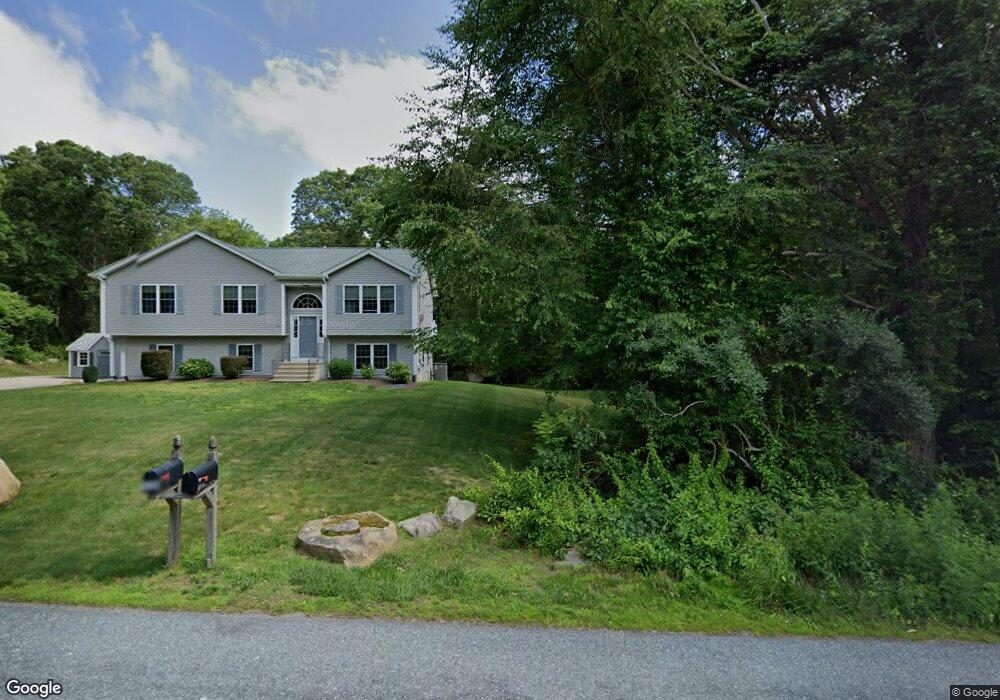
501 Stony Fort Rd Saunderstown, RI 02874
Saunderstown NeighborhoodEstimated Value: $728,000 - $956,000
3
Beds
3
Baths
2,656
Sq Ft
$325/Sq Ft
Est. Value
About This Home
This home is located at 501 Stony Fort Rd, Saunderstown, RI 02874 and is currently estimated at $862,261, approximately $324 per square foot. 501 Stony Fort Rd is a home located in Washington County with nearby schools including Stony Lane Elementary School, Wickford Middle School, and North Kingstown Sr. High School.
Ownership History
Date
Name
Owned For
Owner Type
Purchase Details
Closed on
Dec 6, 2011
Sold by
Fredrikson David M
Bought by
Fredrikson David M and Kmkinney Vicki L
Current Estimated Value
Purchase Details
Closed on
Jul 30, 2009
Sold by
Pelletier Michael and Pelletier Karen
Bought by
Fredrikson David M
Home Financials for this Owner
Home Financials are based on the most recent Mortgage that was taken out on this home.
Original Mortgage
$316,000
Interest Rate
5.43%
Mortgage Type
Purchase Money Mortgage
Create a Home Valuation Report for This Property
The Home Valuation Report is an in-depth analysis detailing your home's value as well as a comparison with similar homes in the area
Home Values in the Area
Average Home Value in this Area
Purchase History
| Date | Buyer | Sale Price | Title Company |
|---|---|---|---|
| Fredrikson David M | -- | -- | |
| Fredrikson David M | $395,000 | -- |
Source: Public Records
Mortgage History
| Date | Status | Borrower | Loan Amount |
|---|---|---|---|
| Open | Fredrikson David M | $300,000 | |
| Previous Owner | Fredrikson David M | $316,000 | |
| Previous Owner | Fredrikson David M | $195,000 | |
| Previous Owner | Fredrikson David M | $157,000 |
Source: Public Records
Tax History Compared to Growth
Tax History
| Year | Tax Paid | Tax Assessment Tax Assessment Total Assessment is a certain percentage of the fair market value that is determined by local assessors to be the total taxable value of land and additions on the property. | Land | Improvement |
|---|---|---|---|---|
| 2025 | $8,603 | $779,300 | $315,100 | $464,200 |
| 2024 | $8,235 | $574,300 | $221,500 | $352,800 |
| 2023 | $8,235 | $574,300 | $221,500 | $352,800 |
| 2022 | $8,075 | $574,300 | $221,500 | $352,800 |
| 2021 | $7,648 | $437,000 | $144,100 | $292,900 |
| 2020 | $7,468 | $437,000 | $144,100 | $292,900 |
| 2019 | $7,468 | $437,000 | $144,100 | $292,900 |
| 2018 | $7,516 | $396,200 | $138,100 | $258,100 |
| 2017 | $7,365 | $396,200 | $138,100 | $258,100 |
| 2016 | $7,155 | $396,200 | $138,100 | $258,100 |
| 2015 | $6,977 | $361,500 | $132,100 | $229,400 |
| 2014 | $6,827 | $361,500 | $132,100 | $229,400 |
Source: Public Records
Map
Nearby Homes
- 604 Stony Fort Rd
- 48 Fieldstone Ln
- 1081 Mooresfield Rd
- 150 Delta Dr
- 247 Glen Hill Dr
- 95 S Woods Dr
- 470 Sylvan Ct
- 449 Sylvan Ct
- 91 Old Rd N
- 81 Old Rd N
- 202 Explorer Dr
- 158 Explorer Dr
- 168 Explorer Dr
- 210 Explorer Dr
- 294 Rose Hill Rd
- 66 Essex Manor Ln
- 23 Conant Ln
- 79 Linden Dr
- 46 Hillside Ct
- 42 Ledgewood Rd
- 475 Stony Fort Rd
- 236 Fieldstone Ln
- 513 Stony Fort Rd
- 230 Fieldstone Ln
- 547 Stony Fort Rd
- 220 Fieldstone Ln
- 242 Fieldstone Ln
- 212 Fieldstone Ln
- 528 Stony Fort Rd
- 571 Stony Fort Rd
- 252 Fieldstone Ln
- 206 Fieldstone Ln
- 540 Stony Fort Rd
- 550 Stony Fort Rd
- 589 Stony Fort Rd
- 200 Fieldstone Ln
- 576 Stony Fort Rd
- 190 Fieldstone Ln
- 403 Stony Fort Rd
- 137 Fieldstone Ln