501 Stowers Rd W Dawsonville, GA 30534
Dawson County NeighborhoodEstimated Value: $530,000 - $3,545,326
3
Beds
2
Baths
3,302
Sq Ft
$617/Sq Ft
Est. Value
About This Home
This home is located at 501 Stowers Rd W, Dawsonville, GA 30534 and is currently estimated at $2,037,663, approximately $617 per square foot. 501 Stowers Rd W is a home located in Dawson County with nearby schools including Kilough Elementary School, Dawson County Middle School, and Dawson County Junior High School.
Ownership History
Date
Name
Owned For
Owner Type
Purchase Details
Closed on
Dec 14, 2006
Sold by
Stowers Fred G
Bought by
The F Stowers Fam Lllp
Current Estimated Value
Purchase Details
Closed on
Mar 20, 2006
Sold by
Stowers Fred G
Bought by
Allen Randy Gober
Purchase Details
Closed on
Jun 26, 1981
Sold by
Stowers Lucille Est
Bought by
Stowers Fred G
Purchase Details
Closed on
Sep 24, 1949
Bought by
Stowers Lucille Est
Create a Home Valuation Report for This Property
The Home Valuation Report is an in-depth analysis detailing your home's value as well as a comparison with similar homes in the area
Home Values in the Area
Average Home Value in this Area
Purchase History
| Date | Buyer | Sale Price | Title Company |
|---|---|---|---|
| The F Stowers Fam Lllp | -- | -- | |
| Allen Randy Gober | $325,000 | -- | |
| Stowers Fred G | $121,900 | -- | |
| Stowers Lucille Est | -- | -- |
Source: Public Records
Tax History Compared to Growth
Tax History
| Year | Tax Paid | Tax Assessment Tax Assessment Total Assessment is a certain percentage of the fair market value that is determined by local assessors to be the total taxable value of land and additions on the property. | Land | Improvement |
|---|---|---|---|---|
| 2024 | $10,495 | $1,196,612 | $360,080 | $836,532 |
| 2023 | $10,495 | $1,181,732 | $339,720 | $842,012 |
| 2022 | $15,696 | $1,076,096 | $315,440 | $760,656 |
| 2021 | $13,576 | $1,016,924 | $392,000 | $624,924 |
| 2020 | $13,861 | $1,022,084 | $412,480 | $609,604 |
| 2019 | $13,635 | $1,007,924 | $412,480 | $595,444 |
| 2018 | $13,669 | $1,007,924 | $412,480 | $595,444 |
| 2017 | $12,801 | $1,022,067 | $462,056 | $560,011 |
| 2016 | $12,275 | $1,000,957 | $462,056 | $538,901 |
| 2015 | $11,619 | $960,989 | $462,056 | $498,932 |
| 2014 | $10,535 | $905,913 | $462,056 | $443,856 |
| 2013 | -- | $834,520 | $462,056 | $372,464 |
Source: Public Records
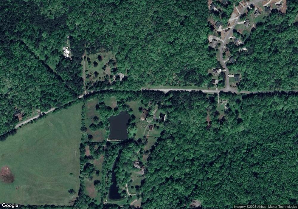
Map
Nearby Homes
- 0 Georgia 400 N Unit 10544647
- 0 Georgia 400 N Unit 10510411
- 0 Georgia 400 N Unit 7570173
- 0 Georgia 400 N Unit 7591790
- 0 Georgia 400 N Unit 7591713
- 0 Georgia 400 N Unit 10544637
- 385 River Bend Rd
- 87 Carsons Creek Dr
- 1185 Harmony Church Rd
- 59 Lumpkin Ln
- 0 Nix Bridge Rd Unit 23129811
- 0 Nix Bridge Rd Unit 7555504
- 0 Nix Bridge Rd Unit 23130821
- 36 Pelican Ct
- 91 Gresham Ct
- 107 Gresham Ct
- 119 Gresham Ct
- 127 Gresham Ct
- 995 Lumpkin Campground Rd N
- 187 Oak Creek Dr
- 389 Stowers Rd W
- 27 Old White Oak Trail
- 14 Old White Oak Trail Unit 25
- 14 Old White Oak Trail
- 14 Old White Oak Trail
- 6 Chapel View Dr
- 32 Grant Rd W
- 604 Stowers Rd W
- 52 Old White Oak Trail
- 11 Taylor Trail
- 112 Old White Oak Trail
- 74 Lords Way
- 81 Old White Oak Trail
- 0 Lord's Way
- 103 Lords Way
- 00 Hwy 400
- 125 Old White Oak Trail Unit 3
- 102 Lords Way
- 1996 Georgia 400
- 1996 Highway 400 N