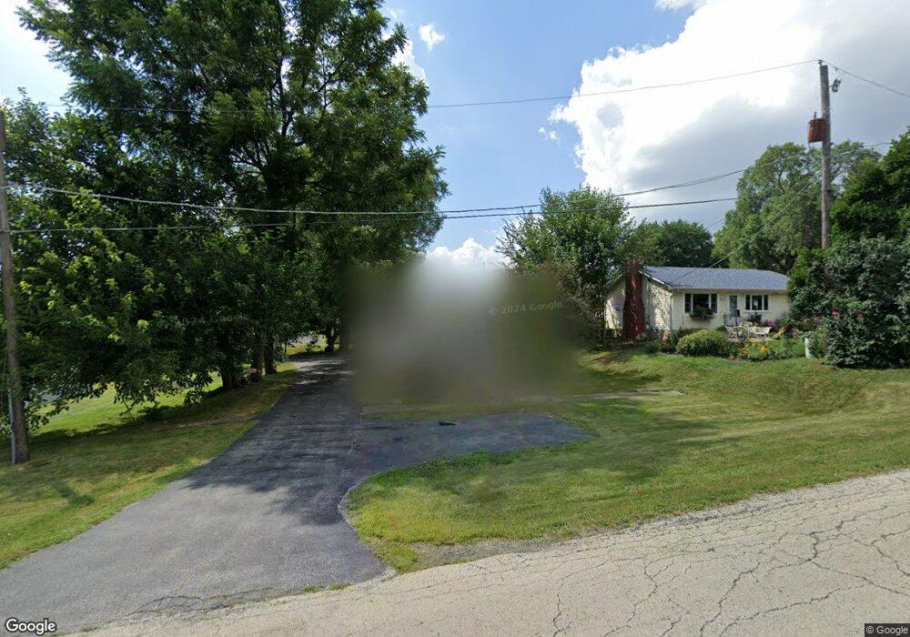
501 Table St Lockport, IL 60441
Estimated Value: $224,000 - $260,000
2
Beds
1
Bath
750
Sq Ft
$319/Sq Ft
Est. Value
About This Home
This home is located at 501 Table St, Lockport, IL 60441 and is currently estimated at $239,571, approximately $319 per square foot. 501 Table St is a home located in Will County with nearby schools including Ludwig Elementary School, Walsh Elementary School, and Reed Elementary School.
Ownership History
Date
Name
Owned For
Owner Type
Purchase Details
Closed on
Jan 4, 2010
Sold by
Hsbc Bank Usa Na
Bought by
Brand David E
Current Estimated Value
Home Financials for this Owner
Home Financials are based on the most recent Mortgage that was taken out on this home.
Original Mortgage
$61,600
Interest Rate
5.02%
Mortgage Type
New Conventional
Purchase Details
Closed on
Sep 18, 2009
Sold by
Harris Patricia and Case #08 Ch 5515
Bought by
Hsbc Bank Usa Na
Purchase Details
Closed on
Aug 19, 2009
Sold by
Harris Patricia and City Of Lockport
Bought by
Hsbc Bank Usa Na
Purchase Details
Closed on
Dec 20, 2002
Sold by
Harris Marlin
Bought by
Harris Patricia
Home Financials for this Owner
Home Financials are based on the most recent Mortgage that was taken out on this home.
Original Mortgage
$88,000
Interest Rate
9.6%
Mortgage Type
New Conventional
Purchase Details
Closed on
Sep 27, 1996
Sold by
Moores Edna and Moores Gary J
Bought by
Harris Marlin D
Create a Home Valuation Report for This Property
The Home Valuation Report is an in-depth analysis detailing your home's value as well as a comparison with similar homes in the area
Home Values in the Area
Average Home Value in this Area
Purchase History
| Date | Buyer | Sale Price | Title Company |
|---|---|---|---|
| Brand David E | $77,000 | Multiple | |
| Hsbc Bank Usa Na | $88,350 | None Available | |
| Hsbc Bank Usa Na | $88,350 | None Available | |
| Harris Patricia | -- | Marine Title Corp | |
| Harris Marlin D | $60,000 | -- |
Source: Public Records
Mortgage History
| Date | Status | Borrower | Loan Amount |
|---|---|---|---|
| Previous Owner | Brand David E | $61,600 | |
| Previous Owner | Harris Patricia | $88,000 |
Source: Public Records
Tax History
| Year | Tax Paid | Tax Assessment Tax Assessment Total Assessment is a certain percentage of the fair market value that is determined by local assessors to be the total taxable value of land and additions on the property. | Land | Improvement |
|---|---|---|---|---|
| 2024 | $4,252 | $63,824 | $29,932 | $33,892 |
| 2023 | $4,252 | $57,297 | $26,871 | $30,426 |
| 2022 | $3,437 | $48,898 | $22,932 | $25,966 |
| 2021 | $3,208 | $45,953 | $21,551 | $24,402 |
| 2020 | $3,115 | $44,442 | $20,842 | $23,600 |
| 2019 | $2,918 | $42,125 | $19,755 | $22,370 |
| 2018 | $2,844 | $40,493 | $18,989 | $21,504 |
| 2017 | $2,692 | $38,226 | $17,926 | $20,300 |
| 2016 | $2,368 | $33,927 | $15,910 | $18,017 |
| 2015 | $1,922 | $30,454 | $14,281 | $16,173 |
| 2014 | $1,922 | $27,940 | $13,102 | $14,838 |
| 2013 | $1,922 | $27,940 | $13,102 | $14,838 |
Source: Public Records
Map
Nearby Homes
- 118 N State St
- 120 N State St
- 805 Maryknoll Dr
- 134 S Jefferson St
- 936 Treeline Ct Unit 5B
- 310 Mccameron Ave
- 501 S Hamilton St
- 500 Clinton St
- 519 S Washington St
- 1330 Lacoma Ct
- 1.4 Acres S Archer Ave
- 1600 Fairmount
- 17439 W Windemere Cir
- 502 W 7th St
- 1041 Ashley Ct S Unit 2D
- 0 151st & MacGregor St Unit MRD11873272
- 0 Smith Rd South of 135th St Unit MRD12274096
- 0 N State St Unit 10995892
- 1016 S State St
- 1015 Grandview Ave
Your Personal Tour Guide
Ask me questions while you tour the home.