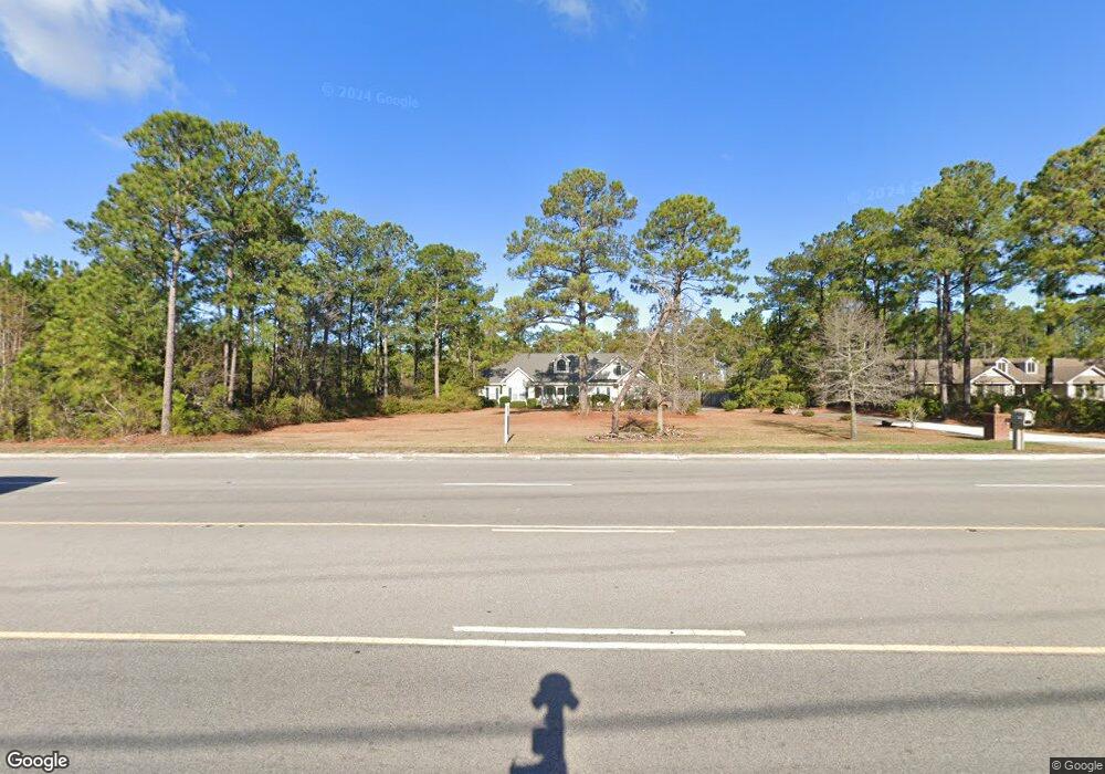
501 Us Highway 17 S Holly Ridge, NC 28445
Estimated Value: $359,000 - $1,664,000
4
Beds
2
Baths
2,345
Sq Ft
$314/Sq Ft
Est. Value
About This Home
This home is located at 501 Us Highway 17 S, Holly Ridge, NC 28445 and is currently estimated at $736,116, approximately $313 per square foot. 501 Us Highway 17 S is a home located in Onslow County with nearby schools including Coastal Elementary, Dixon Elementary School, and Dixon High School.
Ownership History
Date
Name
Owned For
Owner Type
Purchase Details
Closed on
Jun 19, 2007
Sold by
Hollis Eddie Earl and Hollis Linda R
Bought by
Camp Davis Industrial Park Inc
Current Estimated Value
Home Financials for this Owner
Home Financials are based on the most recent Mortgage that was taken out on this home.
Original Mortgage
$400,000
Outstanding Balance
$242,377
Interest Rate
6.1%
Mortgage Type
Purchase Money Mortgage
Estimated Equity
$493,739
Create a Home Valuation Report for This Property
The Home Valuation Report is an in-depth analysis detailing your home's value as well as a comparison with similar homes in the area
Home Values in the Area
Average Home Value in this Area
Purchase History
| Date | Buyer | Sale Price | Title Company |
|---|---|---|---|
| Camp Davis Industrial Park Inc | $400,000 | None Available |
Source: Public Records
Mortgage History
| Date | Status | Borrower | Loan Amount |
|---|---|---|---|
| Open | Camp Davis Industrial Park Inc | $400,000 |
Source: Public Records
Tax History Compared to Growth
Tax History
| Year | Tax Paid | Tax Assessment Tax Assessment Total Assessment is a certain percentage of the fair market value that is determined by local assessors to be the total taxable value of land and additions on the property. | Land | Improvement |
|---|---|---|---|---|
| 2025 | -- | $357,640 | $53,150 | $304,490 |
| 2024 | -- | $357,640 | $53,150 | $304,490 |
| 2023 | $0 | $357,640 | $53,150 | $304,490 |
| 2022 | $3,599 | $358,078 | $53,150 | $304,928 |
| 2021 | $2,649 | $241,910 | $26,890 | $215,020 |
| 2020 | $2,649 | $241,910 | $26,890 | $215,020 |
| 2019 | $2,661 | $241,910 | $26,890 | $215,020 |
| 2018 | $2,685 | $241,910 | $26,890 | $215,020 |
| 2017 | $2,714 | $248,970 | $36,390 | $212,580 |
| 2016 | $2,714 | $248,970 | $0 | $0 |
| 2015 | $2,714 | $248,970 | $0 | $0 |
| 2014 | $2,714 | $248,970 | $0 | $0 |
Source: Public Records
Map
Nearby Homes
- 1001 Mabel Rawlinson Dr
- 435 Belvedere Dr
- 437 Belvedere Dr
- 767 E Ocean Rd
- 1213 Daisy Ct
- 359 Belvedere Dr
- 202 Bungalow Rd
- 250 Bream St
- 301 Log Cabin Way
- 321 N Dyson St
- 807 Wildflower Dr
- 110 Hampton Dr
- 301 Kraft St
- 229 Red Carnation Dr
- 739 Duneridge Ct
- 8 Hwy 50
- 204 Red Carnation Dr
- 133 Buckhorn Ave
- 206 Holden Rd
- 134 Merry Ln
- 0 Lot # 1 Highway 17
- 489 Us Highway 17 S
- 101 Sages Ridge Dr
- 500 Us Highway 17 S
- 492 Us Highway 17 S
- 200 Oak Ridge Ln
- 103 Sages Ridge Dr
- 0 Hwy 17 E and L Hollis Unit 30524382
- 105 Sage''S Ridge Dr
- 105 Sages Ridge Dr
- 204 Oak Ridge Ln
- 107 Sages Ridge Dr
- 203 Oak Ridge Ln
- 206 Oak Ridge Ln
- 300 Pine Ridge Ln
- 205 Oak Ridge Ln
- 302 Pine Ridge Ln
- 109 Sages Ridge Dr
- 208 Oak Ridge Ln
- 207 Oak Ridge Ln