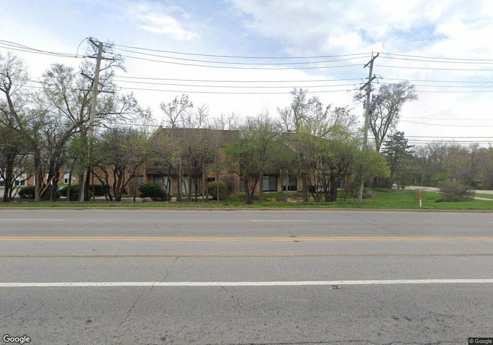
501 W Ogden Ave Unit 1 Hinsdale, IL 60521
Estimated Value: $185,388
--
Bed
--
Bath
946
Sq Ft
$196/Sq Ft
Est. Value
About This Home
This home is located at 501 W Ogden Ave Unit 1, Hinsdale, IL 60521 and is currently estimated at $185,388, approximately $195 per square foot. 501 W Ogden Ave Unit 1 is a home located in DuPage County with nearby schools including Monroe Elementary School, Clarendon Hills Middle School, and Hinsdale Central High School.
Ownership History
Date
Name
Owned For
Owner Type
Purchase Details
Closed on
Dec 22, 2003
Sold by
Chicago Title Land Trust Co
Bought by
Burda Charles E and Burda Laureen Yeoh
Current Estimated Value
Home Financials for this Owner
Home Financials are based on the most recent Mortgage that was taken out on this home.
Original Mortgage
$120,000
Interest Rate
6.75%
Mortgage Type
Commercial
Create a Home Valuation Report for This Property
The Home Valuation Report is an in-depth analysis detailing your home's value as well as a comparison with similar homes in the area
Home Values in the Area
Average Home Value in this Area
Purchase History
| Date | Buyer | Sale Price | Title Company |
|---|---|---|---|
| Burda Charles E | $243,000 | Premier Title |
Source: Public Records
Mortgage History
| Date | Status | Borrower | Loan Amount |
|---|---|---|---|
| Closed | Burda Charles E | $120,000 |
Source: Public Records
Tax History Compared to Growth
Tax History
| Year | Tax Paid | Tax Assessment Tax Assessment Total Assessment is a certain percentage of the fair market value that is determined by local assessors to be the total taxable value of land and additions on the property. | Land | Improvement |
|---|---|---|---|---|
| 2024 | $4,189 | $80,801 | $60,960 | $19,841 |
| 2023 | $3,989 | $74,280 | $56,040 | $18,240 |
| 2022 | $3,606 | $68,780 | $51,890 | $16,890 |
| 2021 | $3,476 | $68,000 | $51,300 | $16,700 |
| 2020 | $3,099 | $60,800 | $50,280 | $10,520 |
| 2019 | $3,103 | $58,330 | $48,240 | $10,090 |
| 2018 | $4,308 | $83,940 | $45,940 | $38,000 |
| 2017 | $4,155 | $80,780 | $44,210 | $36,570 |
| 2016 | $4,079 | $77,090 | $42,190 | $34,900 |
| 2015 | $4,065 | $72,520 | $39,690 | $32,830 |
| 2014 | $4,096 | $70,510 | $38,590 | $31,920 |
| 2013 | $4,017 | $70,180 | $38,410 | $31,770 |
Source: Public Records
Map
Nearby Homes
- 531 Bonnie Brae Rd
- 527 Kensington Ct
- 539 Kensington Ct
- 415 N Adams St
- 401 Birchwood Rd
- 401 Glendale Ave
- 210 W Hickory St
- 3801 Madison St
- 117 N Monroe St
- 123 N Vine St
- 118 N Grant St
- 531 N York Rd
- 246 N Jackson Rd
- 141 Breakenridge Farm
- 241 Coe Rd
- 14 S Thurlow St
- 28 S Clay St
- 21 S Bruner St
- 15 Templeton Dr
- 245 Middaugh Rd
- 501 W Ogden Ave Unit 5
- 501 W Ogden Ave Unit 4
- 501 W Ogden Ave Unit 3
- 501 W Ogden Ave Unit 2
- 624 N Madison St
- 9601 W Ogden Ave
- 501 Wedgewood Ct
- 505 Wedgewood Ct
- 630 N Madison St
- 520 Bonnie Brae Rd
- 527 W Ogden Ave
- 509 Wedgewood Ct
- 526 Bonnie Brae Rd
- 502 Bonnie Brae Rd
- 536 Bonnie Brae Rd
- 623 N Madison St
- 625 N Madison St
- 512 Wedgewood Ct
- 551 N Madison St
- 540 Bonnie Brae Rd