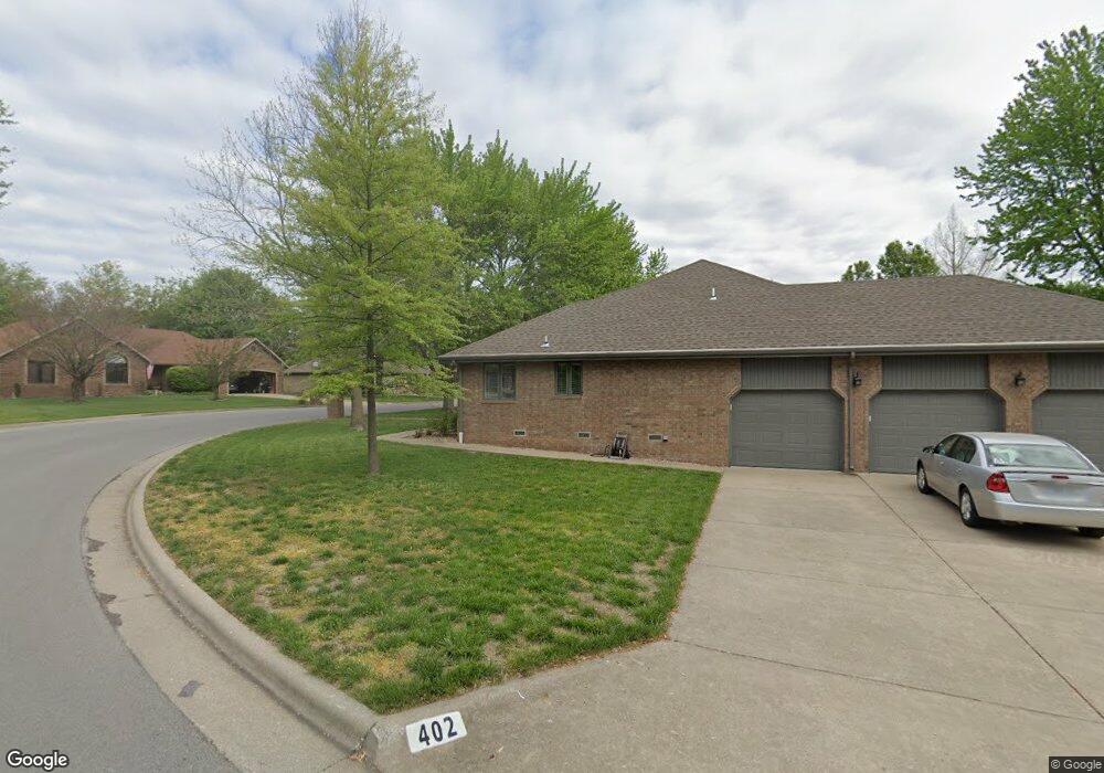
501 W Osage Clever, MO 65631
Estimated Value: $229,584 - $247,000
3
Beds
1
Bath
1,286
Sq Ft
$185/Sq Ft
Est. Value
About This Home
This home is located at 501 W Osage, Clever, MO 65631 and is currently estimated at $238,396, approximately $185 per square foot. 501 W Osage is a home with nearby schools including Clever High School.
Ownership History
Date
Name
Owned For
Owner Type
Purchase Details
Closed on
Aug 15, 2025
Sold by
Deters Wayne E and Deters Stacy L
Bought by
Farmer Kenneth L and Farmer Rhonda
Current Estimated Value
Purchase Details
Closed on
Jul 31, 2024
Sold by
Rohrer Chad and Rohrer Sarah M
Bought by
Deters Wayne E and Deters Stacy L
Home Financials for this Owner
Home Financials are based on the most recent Mortgage that was taken out on this home.
Original Mortgage
$193,500
Interest Rate
6.87%
Mortgage Type
Credit Line Revolving
Purchase Details
Closed on
Dec 29, 2005
Sold by
Southwest Development Inc
Bought by
Rohrer Chad
Create a Home Valuation Report for This Property
The Home Valuation Report is an in-depth analysis detailing your home's value as well as a comparison with similar homes in the area
Home Values in the Area
Average Home Value in this Area
Purchase History
| Date | Buyer | Sale Price | Title Company |
|---|---|---|---|
| Farmer Kenneth L | -- | Ozark Abstract & Title | |
| Farmer Kenneth L | -- | Ozark Abstract & Title | |
| Deters Wayne E | -- | Hogan Land Title | |
| Rohrer Chad | -- | None Available |
Source: Public Records
Mortgage History
| Date | Status | Borrower | Loan Amount |
|---|---|---|---|
| Previous Owner | Deters Wayne E | $193,500 |
Source: Public Records
Tax History Compared to Growth
Tax History
| Year | Tax Paid | Tax Assessment Tax Assessment Total Assessment is a certain percentage of the fair market value that is determined by local assessors to be the total taxable value of land and additions on the property. | Land | Improvement |
|---|---|---|---|---|
| 2024 | $1,347 | $21,810 | -- | -- |
| 2023 | $1,347 | $21,810 | $0 | $0 |
| 2022 | $1,236 | $19,910 | $0 | $0 |
| 2021 | $1,238 | $19,910 | $0 | $0 |
| 2020 | $1,148 | $18,280 | $0 | $0 |
| 2019 | $1,148 | $18,280 | $0 | $0 |
| 2018 | $1,115 | $17,800 | $0 | $0 |
| 2017 | $1,115 | $17,800 | $0 | $0 |
| 2016 | $1,098 | $17,800 | $0 | $0 |
| 2015 | $0 | $17,800 | $17,800 | $0 |
| 2014 | $1,059 | $17,770 | $0 | $0 |
| 2013 | $1,058 | $17,770 | $0 | $0 |
Source: Public Records
Map
Nearby Homes
- 406 W Cherokee Path
- 7830 Snowdrop Ave
- 214 Forgey Rd
- 205 Ashton Ave
- 111 Ashton Ave
- 201 N Christopher Ln
- 108 Ashton Ave
- 418 Forgey Rd
- 000 N Public Ave
- 000 State Highway P
- 407 W Brown St
- 104 E Meadowbrook Ave
- 127 E Teakwood Ave
- 123 E Teakwood Ave
- 235 Sandy Forest Ln
- 118 Evergreen Cir
- 504 Wampler Dr
- 312 E Grant St
- 412 Westview
- 983 Thyme Rd