Estimated Value: $261,029 - $328,000
--
Bed
--
Bath
--
Sq Ft
2.98
Acres
About This Home
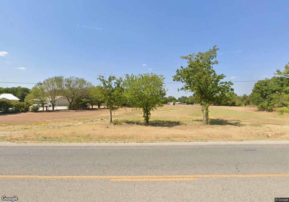
This home is located at 501 W Rock Island Ave, Boyd, TX 76023 and is currently estimated at $287,343. 501 W Rock Island Ave is a home located in Wise County with nearby schools including Boyd Elementary School, Boyd Middle School, and Boyd High School.
Ownership History
Date
Name
Owned For
Owner Type
Purchase Details
Closed on
Dec 5, 2019
Sold by
Dp Construction Llc
Bought by
Ferguson Kenneth and Ferguson Angela
Current Estimated Value
Home Financials for this Owner
Home Financials are based on the most recent Mortgage that was taken out on this home.
Original Mortgage
$130,000
Outstanding Balance
$61,236
Interest Rate
3.75%
Mortgage Type
Commercial
Estimated Equity
$226,107
Purchase Details
Closed on
Jul 6, 2018
Sold by
Pietila Richard J and Spear Tracy
Bought by
Dp Construction Llc
Purchase Details
Closed on
May 8, 2009
Sold by
Thorn Roy E
Bought by
Boyd Isd
Create a Home Valuation Report for This Property
The Home Valuation Report is an in-depth analysis detailing your home's value as well as a comparison with similar homes in the area
Home Values in the Area
Average Home Value in this Area
Purchase History
| Date | Buyer | Sale Price | Title Company |
|---|---|---|---|
| Ferguson Kenneth | -- | Guardian Title Co | |
| Dp Construction Llc | -- | Wise County Title | |
| Boyd Isd | $76,868 | -- |
Source: Public Records
Mortgage History
| Date | Status | Borrower | Loan Amount |
|---|---|---|---|
| Open | Ferguson Kenneth | $130,000 |
Source: Public Records
Tax History Compared to Growth
Tax History
| Year | Tax Paid | Tax Assessment Tax Assessment Total Assessment is a certain percentage of the fair market value that is determined by local assessors to be the total taxable value of land and additions on the property. | Land | Improvement |
|---|---|---|---|---|
| 2025 | $4,632 | $433,858 | $433,858 | -- |
| 2024 | $4,632 | $243,780 | $243,780 | $0 |
| 2023 | $4,523 | $243,780 | $243,780 | $0 |
| 2022 | $4,178 | $194,714 | $194,714 | $0 |
| 2021 | $4,005 | $180,000 | $180,000 | $0 |
| 2020 | $4,020 | $180,000 | $180,000 | $0 |
| 2019 | $4,277 | $186,090 | $186,090 | $0 |
| 2018 | $1,015 | $88,600 | $88,600 | $0 |
| 2017 | $1,043 | $43,560 | $43,560 | $0 |
| 2016 | $1,043 | $43,560 | $43,560 | $0 |
| 2015 | -- | $43,560 | $43,560 | $0 |
| 2014 | -- | $43,560 | $43,560 | $0 |
Source: Public Records
Map
Nearby Homes
- tbd S Oak St
- 100 N Agnew St
- 207 W Morton Ave
- 3397 2048 Hwy
- 420 S Evans St
- 18 Acres Highway 114 Rd
- 405 Edgewood Terrace
- 110 Gerber Ln
- 205 S Allen St
- 213 S Allen St
- 2971 E Highway 114
- 213 S Hitt St
- 525 Highway 114 Rd
- AMBER Plan at Springhill South
- NATCHEZ Plan at Springhill South
- HANNA Plan at Springhill South
- TUPELO Plan at Springhill South
- SOUTHHAVEN Plan at Springhill South
- STARKVILLE Plan at Springhill South
- MACON Plan at Springhill South
- 493 W Rock Island Ave
- 489 W Rock Island Ave
- 500 W Rock Island Ave
- 130 Sessums Ln
- 633 Knox Ave
- 403 W Rock Island Ave
- 629 Knox Ave
- 456 W Rock Island Ave
- 0000 E Rock Island Ave
- 621 Knox Ave
- 529 Hwy 114
- 529 Highway 114
- 140 Sessums Ln
- 601 Knox Ave
- 541 W Rock Island Ave
- 600 Knox Ave
- 515 Knox Ave
- 517 Knox Ave
- 543 W Rock Island Ave
- 204 Splawn Ln