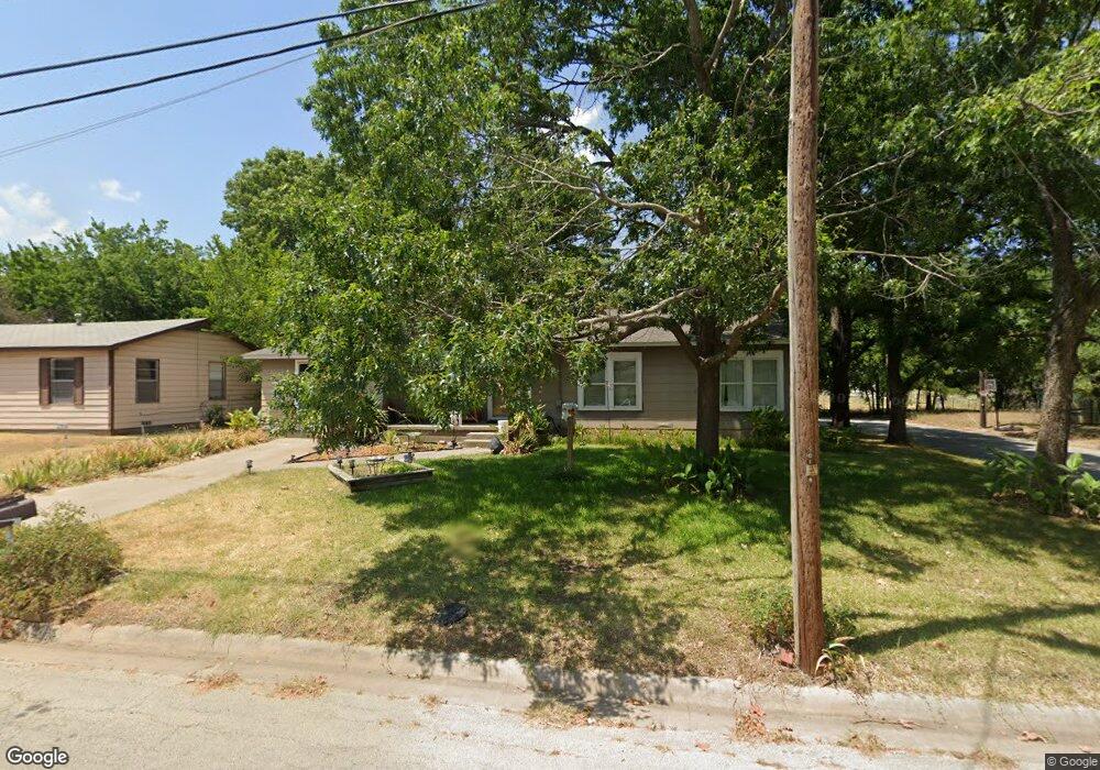
501 Walter Rd Gainesville, TX 76240
Estimated Value: $203,000 - $234,000
2
Beds
2
Baths
2,554
Sq Ft
$85/Sq Ft
Est. Value
About This Home
This home is located at 501 Walter Rd, Gainesville, TX 76240 and is currently estimated at $217,777, approximately $85 per square foot. 501 Walter Rd is a home located in Cooke County with nearby schools including Edison Elementary School, W.E. Chalmers Elementary School, and Gainesville Intermediate School.
Ownership History
Date
Name
Owned For
Owner Type
Purchase Details
Closed on
Sep 27, 2016
Sold by
Dougherty Bobbie S and Cameron Denise Elaine
Bought by
Smith Arvel R and Smith Virginia R
Current Estimated Value
Home Financials for this Owner
Home Financials are based on the most recent Mortgage that was taken out on this home.
Original Mortgage
$71,250
Outstanding Balance
$44,820
Interest Rate
3.43%
Mortgage Type
New Conventional
Estimated Equity
$172,957
Create a Home Valuation Report for This Property
The Home Valuation Report is an in-depth analysis detailing your home's value as well as a comparison with similar homes in the area
Purchase History
| Date | Buyer | Sale Price | Title Company |
|---|---|---|---|
| Smith Arvel R | -- | Howeth Title Company |
Source: Public Records
Mortgage History
| Date | Status | Borrower | Loan Amount |
|---|---|---|---|
| Open | Smith Arvel R | $71,250 |
Source: Public Records
Tax History
| Year | Tax Paid | Tax Assessment Tax Assessment Total Assessment is a certain percentage of the fair market value that is determined by local assessors to be the total taxable value of land and additions on the property. | Land | Improvement |
|---|---|---|---|---|
| 2025 | $1,525 | $138,323 | $37,231 | $146,183 |
| 2024 | $1,525 | $183,513 | $37,201 | $146,312 |
| 2023 | $2,243 | $114,316 | $37,201 | $138,340 |
| 2022 | $2,262 | $168,559 | $31,069 | $137,490 |
| 2021 | $2,433 | $125,698 | $26,368 | $99,330 |
| 2020 | $2,281 | $111,301 | $26,368 | $84,933 |
| 2019 | $2,134 | $89,250 | $26,368 | $62,882 |
| 2018 | $1,937 | $70,981 | $13,184 | $57,797 |
| 2017 | $1,865 | $68,609 | $13,184 | $55,425 |
| 2015 | $897 | $33,829 | $6,592 | $27,237 |
| 2014 | $897 | $33,699 | $6,592 | $27,107 |
Source: Public Records
Map
Nearby Homes
- 1903 N Weaver St
- 610 Walter Rd Unit Gainesville
- 1901 Buck St
- 2662 N Weaver St
- 0 N Weaver St
- 1214 Witherspoon St
- 1203 Mill St
- 805 Fletcher St
- 807 Fletcher St
- 1213 Mill St
- 1015 N Dixon St
- 714 Potter St
- 000 N Grand Ave
- 1001 E Star St
- 1107 Field St
- TBD Columbine Dr
- 713 N Commerce St
- 620 Throckmorton St
- 764
- TBD County Road 208
- 501 Walter Rd
- 501 Walter Rd
- 503 Walter Rd
- 502 Walter Rd
- 2002 Throckmorton St
- 2004 Throckmorton St
- 1908 Throckmorton St
- 504 Walter Rd
- 2006 Throckmorton St
- 505 Walter Rd
- 506 Walter Rd
- 1906 Throckmorton St
- 507 Walter Rd
- 508 Walter Rd
- 501 Lynch St
- 1921 N Weaver St
- 1923 N Weaver St
- 1911 N Weaver St
- 1925 N Weaver St
- 509 Walter Rd
Your Personal Tour Guide
Ask me questions while you tour the home.