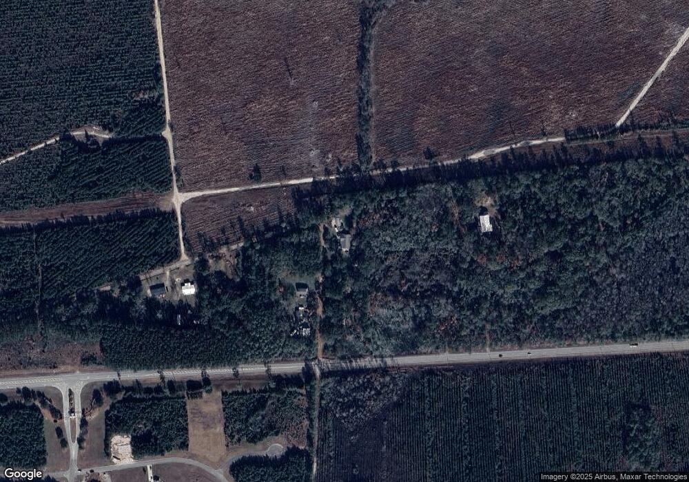
501 Willies Loop Kingsland, GA 31548
Estimated Value: $323,000 - $391,653
3
Beds
2
Baths
2,772
Sq Ft
$127/Sq Ft
Est. Value
About This Home
This home is located at 501 Willies Loop, Kingsland, GA 31548 and is currently estimated at $351,913, approximately $126 per square foot. 501 Willies Loop is a home located in Camden County with nearby schools including Kingsland Elementary School, Camden Middle School, and Camden County High School.
Ownership History
Date
Name
Owned For
Owner Type
Purchase Details
Closed on
Feb 14, 2020
Sold by
Collins Darin J
Bought by
Collins Darin J and Collins Jenna Jenna
Current Estimated Value
Home Financials for this Owner
Home Financials are based on the most recent Mortgage that was taken out on this home.
Original Mortgage
$206,481
Outstanding Balance
$183,240
Interest Rate
3.72%
Mortgage Type
New Conventional
Estimated Equity
$168,673
Purchase Details
Closed on
Aug 3, 2015
Sold by
Edwards Jerry Nelson
Bought by
Collins Darin J
Create a Home Valuation Report for This Property
The Home Valuation Report is an in-depth analysis detailing your home's value as well as a comparison with similar homes in the area
Home Values in the Area
Average Home Value in this Area
Purchase History
| Date | Buyer | Sale Price | Title Company |
|---|---|---|---|
| Collins Darin J | -- | -- | |
| Collins Darin J | $150,000 | -- |
Source: Public Records
Mortgage History
| Date | Status | Borrower | Loan Amount |
|---|---|---|---|
| Open | Collins Darin J | $206,481 |
Source: Public Records
Tax History Compared to Growth
Tax History
| Year | Tax Paid | Tax Assessment Tax Assessment Total Assessment is a certain percentage of the fair market value that is determined by local assessors to be the total taxable value of land and additions on the property. | Land | Improvement |
|---|---|---|---|---|
| 2024 | $3,500 | $116,498 | $4,181 | $112,317 |
| 2023 | $3,101 | $99,988 | $2,271 | $97,717 |
| 2022 | $2,828 | $92,659 | $2,271 | $90,388 |
| 2021 | $2,390 | $74,049 | $2,271 | $71,778 |
| 2020 | $1,788 | $53,857 | $2,271 | $51,586 |
| 2019 | $1,809 | $54,076 | $2,490 | $51,586 |
| 2018 | $1,618 | $53,838 | $2,490 | $51,348 |
| 2017 | $1,449 | $47,140 | $2,490 | $44,650 |
| 2016 | $1,522 | $49,718 | $2,490 | $47,228 |
| 2015 | $859 | $49,718 | $2,490 | $47,228 |
| 2014 | $884 | $49,865 | $2,637 | $47,228 |
Source: Public Records
Map
Nearby Homes
- 615 Breakwater Loop
- 129 Longshore Dr
- 114 Bowline Ln
- 102 Oxbow Ct
- 120 Bulkhead Dr
- L/V 374 Beach Head Ct
- 106 Beach Head Ct
- 311 Longshore Dr
- 216 Bulkhead Dr
- 223 Bulkhead Dr
- 229 Bulkhead Dr
- The Athens + Bonus Room Plan at NorthShore - St. Marys River
- The Roswell Plan at NorthShore - St. Marys River
- The Wilmington Plan at NorthShore - St. Marys River
- The Dalton Plan at NorthShore - St. Marys River
- The Camilla Plan at NorthShore - St. Marys River
- The Gwinnett Plan at NorthShore - St. Marys River
- The Brookhaven Plan at NorthShore - St. Marys River
- The Stonecrest Plan at NorthShore - St. Marys River
- The Hatteras Plan at NorthShore - St. Marys River
- 542 Willies Loop
- 573 Willies Loop
- 560 Willies Loop
- 396 Willies Loop
- 0 Willies Loop
- 378 Willies Loop
- 320 Willies Loop
- 0 V L A Port D Port Lts D and E Unit 1586350
- 106 Longshore Dr
- 133 Longshore Dr
- 15732 Ga Highway 40 W
- 111 Bulkhead Dr
- 137 Longshore Dr
- 0 Bulkhead Dr Lot 23 Unit 1572303
- 110 Bulkhead Dr
- 141 Longshore Dr
- 201 Longshore Dr
- 111 Longshore Dr
- 108 Bowline Ln
- 106 Bowline Ln
