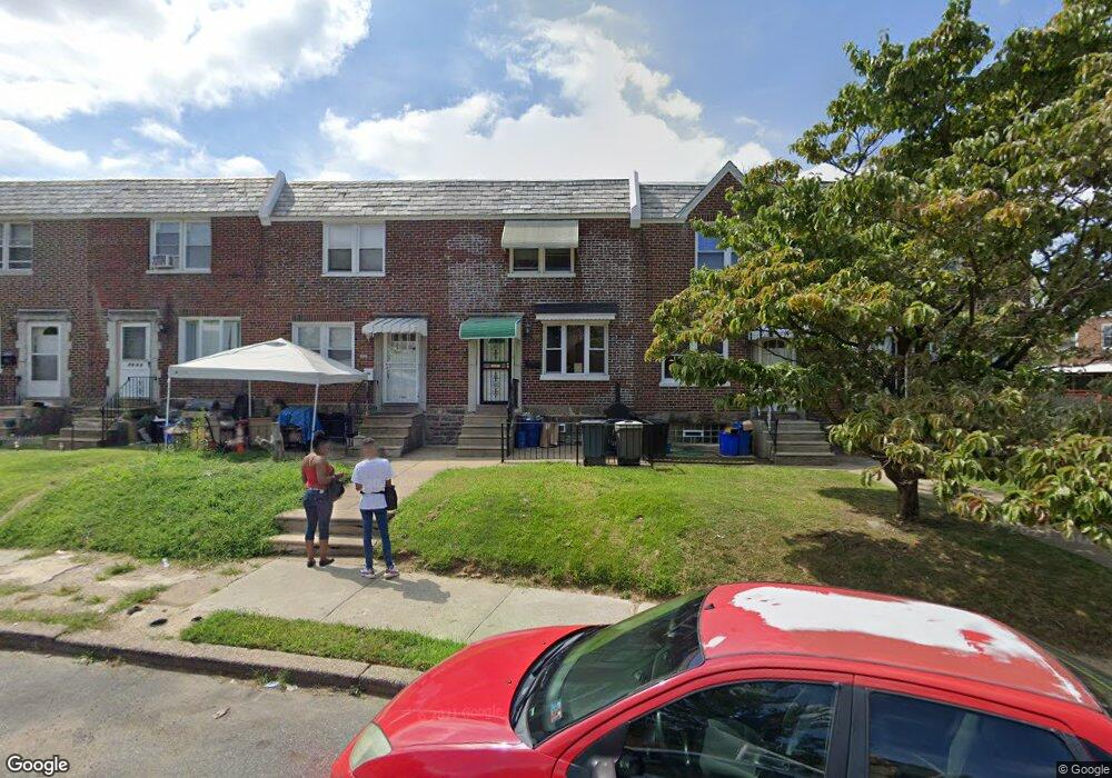
5010 Miriam Rd Philadelphia, PA 19124
Lawncrest NeighborhoodEstimated Value: $203,036 - $235,000
3
Beds
2
Baths
1,120
Sq Ft
$200/Sq Ft
Est. Value
About This Home
This home is located at 5010 Miriam Rd, Philadelphia, PA 19124 and is currently estimated at $224,509, approximately $200 per square foot. 5010 Miriam Rd is a home located in Philadelphia County with nearby schools including Laura H Carnell School, Harding Warren G Middle School, and Samuel Fels High School.
Ownership History
Date
Name
Owned For
Owner Type
Purchase Details
Closed on
Jun 2, 2009
Sold by
Rosato Joseph C
Bought by
Allen Delmar
Current Estimated Value
Home Financials for this Owner
Home Financials are based on the most recent Mortgage that was taken out on this home.
Original Mortgage
$108,007
Outstanding Balance
$68,791
Interest Rate
4.92%
Mortgage Type
FHA
Estimated Equity
$155,718
Create a Home Valuation Report for This Property
The Home Valuation Report is an in-depth analysis detailing your home's value as well as a comparison with similar homes in the area
Home Values in the Area
Average Home Value in this Area
Purchase History
| Date | Buyer | Sale Price | Title Company |
|---|---|---|---|
| Allen Delmar | $110,000 | None Available |
Source: Public Records
Mortgage History
| Date | Status | Borrower | Loan Amount |
|---|---|---|---|
| Open | Allen Delmar | $108,007 |
Source: Public Records
Tax History Compared to Growth
Tax History
| Year | Tax Paid | Tax Assessment Tax Assessment Total Assessment is a certain percentage of the fair market value that is determined by local assessors to be the total taxable value of land and additions on the property. | Land | Improvement |
|---|---|---|---|---|
| 2025 | $1,820 | $168,600 | $33,720 | $134,880 |
| 2024 | $1,820 | $168,600 | $33,720 | $134,880 |
| 2023 | $1,820 | $130,000 | $26,000 | $104,000 |
| 2022 | $710 | $85,000 | $26,000 | $59,000 |
| 2021 | $1,340 | $0 | $0 | $0 |
| 2020 | $1,340 | $0 | $0 | $0 |
| 2019 | $1,285 | $0 | $0 | $0 |
| 2018 | $901 | $0 | $0 | $0 |
| 2017 | $1,321 | $0 | $0 | $0 |
| 2016 | $901 | $0 | $0 | $0 |
| 2015 | $863 | $0 | $0 | $0 |
| 2014 | -- | $94,400 | $16,961 | $77,439 |
| 2012 | -- | $13,120 | $1,100 | $12,020 |
Source: Public Records
Map
Nearby Homes
- 5505 Loretto Ave
- 938 Marcella St
- 4046 E Roosevelt Blvd
- 951 Wakeling St
- 894 Granite St
- 972 Bridge St
- 875 Foulkrod St
- 934 Brill St
- 5640 Miriam Rd
- 883 Brill St
- 894 E Sanger St
- 925 E Sanger St
- 4704 E Roosevelt Blvd
- 5659 Miriam Rd
- 5661 Miriam Rd
- 926 Foulkrod St
- 1859 Harrison St
- 854 E Sanger St
- 1048 Bridge St
- 991 Carver St
- 5012 Miriam Rd
- 5008 Miriam Rd
- 5006 Miriam Rd
- 5014 Miriam Rd
- 5004 Miriam Rd
- 5002 Miriam Rd
- 5015 Loretto Ave
- 5017 Loretto Ave
- 5019 Loretto Ave
- 5018 Miriam Rd
- 5013 Loretto Ave
- 5023 Loretto Ave
- 5000 Miriam Rd
- 5011 Loretto Ave
- 5020 Miriam Rd
- 5009 Loretto Ave
- 5025 Loretto Ave
- 5027 Loretto Ave
- 5007 Loretto Ave
- 4998 Miriam Rd