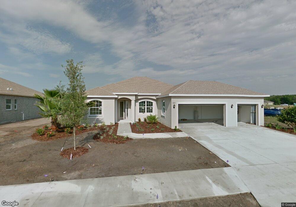
5011 132nd Ave E Parrish, FL 34219
Estimated Value: $507,000 - $574,000
3
Beds
2
Baths
2,032
Sq Ft
$264/Sq Ft
Est. Value
About This Home
This home is located at 5011 132nd Ave E, Parrish, FL 34219 and is currently estimated at $537,086, approximately $264 per square foot. 5011 132nd Ave E is a home with nearby schools including Annie Lucy Williams Elementary School, Buffalo Creek Middle School, and Parrish Community High School.
Ownership History
Date
Name
Owned For
Owner Type
Purchase Details
Closed on
May 29, 2014
Sold by
Doyon Kenneth J and Doyon Susan A
Bought by
Doyon Trust
Current Estimated Value
Purchase Details
Closed on
Apr 25, 2012
Sold by
Medallion Home At Gamble Creek Llc
Bought by
Doyon Kenneth J and Doyon Susan A
Home Financials for this Owner
Home Financials are based on the most recent Mortgage that was taken out on this home.
Original Mortgage
$171,074
Outstanding Balance
$118,862
Interest Rate
3.96%
Mortgage Type
New Conventional
Estimated Equity
$418,224
Create a Home Valuation Report for This Property
The Home Valuation Report is an in-depth analysis detailing your home's value as well as a comparison with similar homes in the area
Home Values in the Area
Average Home Value in this Area
Purchase History
| Date | Buyer | Sale Price | Title Company |
|---|---|---|---|
| Doyon Trust | -- | Attorney | |
| Doyon Kenneth J | $228,100 | Sun Coast Title Company Llc |
Source: Public Records
Mortgage History
| Date | Status | Borrower | Loan Amount |
|---|---|---|---|
| Open | Doyon Kenneth J | $171,074 |
Source: Public Records
Tax History
| Year | Tax Paid | Tax Assessment Tax Assessment Total Assessment is a certain percentage of the fair market value that is determined by local assessors to be the total taxable value of land and additions on the property. | Land | Improvement |
|---|---|---|---|---|
| 2025 | $3,271 | $269,378 | -- | -- |
| 2023 | $3,271 | $254,161 | $0 | $0 |
| 2022 | $3,176 | $246,758 | $0 | $0 |
| 2021 | $3,045 | $239,571 | $0 | $0 |
| 2020 | $3,079 | $236,263 | $0 | $0 |
| 2019 | $3,027 | $230,951 | $0 | $0 |
| 2018 | $2,995 | $226,645 | $0 | $0 |
| 2017 | $2,774 | $221,983 | $0 | $0 |
| 2016 | $2,767 | $217,417 | $0 | $0 |
Source: Public Records
Map
Nearby Homes
- 13130 50th Ct E
- 12916 49th Ln E
- 13006 50th Ct E
- 13031 Bluff Oak Way
- 13107 56th Ct E
- 13544 Old Creek Ct
- 8333 Ocean Tides Cove
- 8313 Ocean Tides Cove
- 9725 Last Light Glen
- 10170 Daybreak Glen
- 9950 Last Light Glen
- 9975 Last Light Glen
- 8317 Ocean Tides Cove
- 8509 Ocean Tides Cove
- 8721 Ocean Tides Cove
- 10062 Daybreak Glen
- 13536 Old Creek Ct
- 16519 66th Ln E
- 10435 Ladybug Cove
- 10607 Ladybug Cove
- 5015 132nd Ave E
- 1510 Rio Vista Terrace
- 5007 132nd Ave E
- 5014 132nd Ave E
- 5010 132nd Ave E
- 5003 132nd Ave E
- 5019 132nd Ave E
- 5006 132nd Ave E
- 5018 132nd Ave E
- 4923 132nd Ave E
- 5022 132nd Ave E
- 5023 132nd Ave E
- 13208 50th Ln E
- 4922 132nd Ave E
- 5026 132nd Ave E
- 13159 50th Ct E
- 4918 132nd St E
- 13306 50th Ln E
- 13209 50th Ln E
Your Personal Tour Guide
Ask me questions while you tour the home.