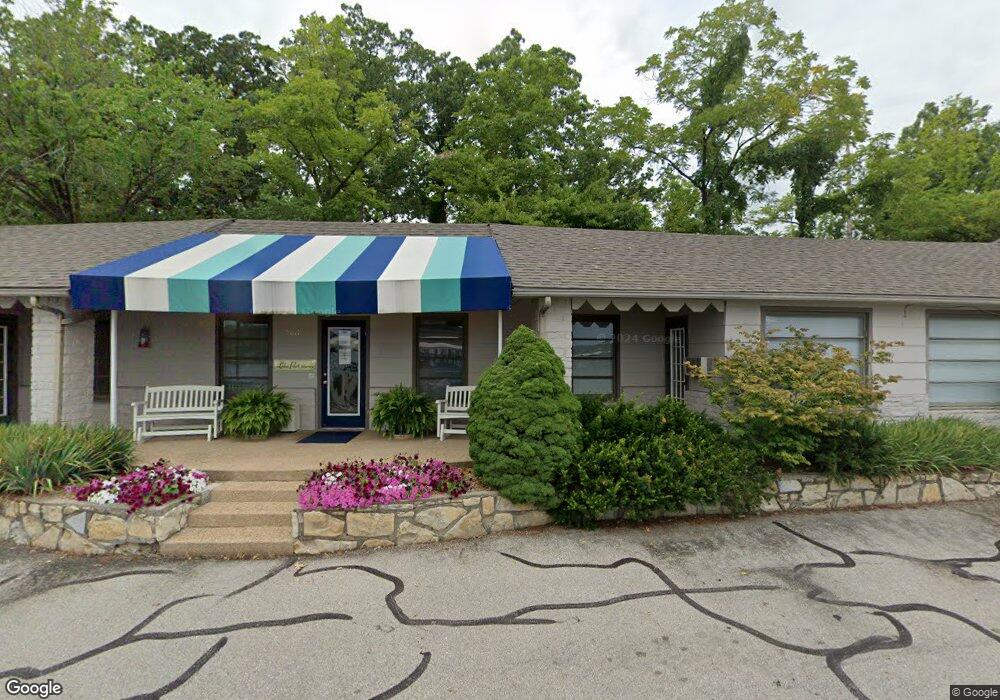
5011 Lakeport Dr Osage Beach, MO 65065
Estimated Value: $624,000 - $2,208,803
--
Bed
--
Bath
2,008
Sq Ft
$705/Sq Ft
Est. Value
About This Home
This home is located at 5011 Lakeport Dr, Osage Beach, MO 65065 and is currently estimated at $1,416,402, approximately $705 per square foot. 5011 Lakeport Dr is a home located in Camden County with nearby schools including Camdenton High School.
Ownership History
Date
Name
Owned For
Owner Type
Purchase Details
Closed on
Nov 12, 2025
Sold by
Lakeport Village Llc
Bought by
Lakeport Village Transportation Development D
Current Estimated Value
Home Financials for this Owner
Home Financials are based on the most recent Mortgage that was taken out on this home.
Original Mortgage
$220,000,000
Outstanding Balance
$220,000,000
Interest Rate
6.34%
Estimated Equity
-$218,583,598
Purchase Details
Closed on
Jul 1, 2000
Bought by
Lakewood Resort Corp
Create a Home Valuation Report for This Property
The Home Valuation Report is an in-depth analysis detailing your home's value as well as a comparison with similar homes in the area
Home Values in the Area
Average Home Value in this Area
Purchase History
| Date | Buyer | Sale Price | Title Company |
|---|---|---|---|
| Lakeport Village Transportation Development D | -- | Fidelity National Title | |
| Lakeport Hotel Llc | -- | Fidelity National Title | |
| Lakewood Resort Corp | -- | -- |
Source: Public Records
Mortgage History
| Date | Status | Borrower | Loan Amount |
|---|---|---|---|
| Open | Lakeport Hotel Llc | $220,000,000 | |
| Closed | Lakeport Hotel Llc | $220,000,000 |
Source: Public Records
Tax History Compared to Growth
Tax History
| Year | Tax Paid | Tax Assessment Tax Assessment Total Assessment is a certain percentage of the fair market value that is determined by local assessors to be the total taxable value of land and additions on the property. | Land | Improvement |
|---|---|---|---|---|
| 2025 | $4,036 | $101,790 | $0 | $0 |
| 2024 | $10,975 | $277,100 | $0 | $0 |
| 2023 | $11,813 | $277,100 | $0 | $0 |
| 2022 | $11,615 | $277,100 | $0 | $0 |
| 2021 | $11,587 | $276,310 | $0 | $0 |
| 2020 | $11,258 | $266,320 | $0 | $0 |
| 2019 | $11,257 | $266,320 | $0 | $0 |
| 2018 | $11,257 | $266,320 | $0 | $0 |
| 2017 | $10,758 | $266,320 | $0 | $0 |
| 2016 | $10,492 | $266,320 | $0 | $0 |
| 2015 | $10,401 | $266,320 | $0 | $0 |
| 2014 | $10,471 | $266,100 | $0 | $0 |
| 2013 | -- | $266,100 | $0 | $0 |
Source: Public Records
Map
Nearby Homes
- 1184 Jeffries Rd Unit 415
- 1184 Jeffries Rd Unit 311
- 1184 Jeffries Rd Unit 310
- 1184 Jeffries Rd Unit 519
- 1184 Jeffries Rd Unit 113
- 1184 Jeffries Rd Unit 119
- 1184 Jeffries Rd Unit 218
- 1184 Jeffries Rd Unit 318
- 1184 Jeffries Rd Unit 416
- 1184 Jeffries Rd Unit 312
- 5088 Summerset Cir Unit D-3
- 1181 Jeffries Rd Unit A403
- 1181 Jeffries Rd Unit A302
- 1217 Jeffries Rd Unit A101
- TBD U S 54
- 1285 Jeffries Rd
- 00 Kalran Dr
- 00 Kalfran Dr
- 0 Kalfran Dr
- 4897 Bridgepointe Dr Unit 122
- 5011 Lakeport Dr
- 5011 Lakeport Dr
- 5011 Lakeport Dr
- 5046 Wyndy Ln
- 5056 Wyndy Ln
- 5066 Windy Ln
- 1083 Lakewood Cir Unit 606
- 1083 Lakewood Cir Unit 104
- 1083 Lakewood Cir Unit 104
- 1083 Lakewood Cir Unit 105
- Tract 1 Jeffries Rd
- Tract 1 Jeffries Rd
- Tract 1 Jeffries Rd
- Tract 1 & 2 Jeffries Rd
- Tract 1 & 2 Jeffries Rd
- 1190 Jeffries Rd
- 1184 Jeffries Rd Unit 116
- 1184 Jeffries Rd Unit 117
- 1184 Jeffries Rd Unit 118
- 1184 Jeffries Rd Unit 217