50110 State Route 556 Clarington, OH 43915
Estimated Value: $199,000 - $230,856
--
Bed
3
Baths
1,551
Sq Ft
$136/Sq Ft
Est. Value
About This Home
This home is located at 50110 State Route 556, Clarington, OH 43915 and is currently estimated at $210,285, approximately $135 per square foot. 50110 State Route 556 is a home located in Monroe County with nearby schools including River Elementary School, Powhatan Elementary School, and Beallsville High School.
Ownership History
Date
Name
Owned For
Owner Type
Purchase Details
Closed on
Jun 8, 2025
Sold by
Taylor Thomas G
Bought by
Taylor Thomas G
Current Estimated Value
Purchase Details
Closed on
Mar 12, 2002
Bought by
Taylor Thomas G and Taylor Thomas G
Purchase Details
Closed on
Jan 9, 2002
Bought by
Taylor Thomas G and Taylor Thomas G
Purchase Details
Closed on
Jan 19, 1999
Bought by
Taylor Thomas G and Taylor Thomas G
Create a Home Valuation Report for This Property
The Home Valuation Report is an in-depth analysis detailing your home's value as well as a comparison with similar homes in the area
Home Values in the Area
Average Home Value in this Area
Purchase History
| Date | Buyer | Sale Price | Title Company |
|---|---|---|---|
| Taylor Thomas G | -- | None Listed On Document | |
| Taylor Thomas G | -- | None Listed On Document | |
| Taylor Thomas G | -- | -- | |
| Taylor Thomas G | $65,000 | -- | |
| Taylor Thomas G | -- | -- |
Source: Public Records
Tax History Compared to Growth
Tax History
| Year | Tax Paid | Tax Assessment Tax Assessment Total Assessment is a certain percentage of the fair market value that is determined by local assessors to be the total taxable value of land and additions on the property. | Land | Improvement |
|---|---|---|---|---|
| 2024 | $1,299 | $46,950 | $12,460 | $34,490 |
| 2023 | $1,299 | $46,950 | $12,460 | $34,490 |
| 2022 | $1,298 | $46,950 | $12,460 | $34,490 |
| 2021 | $1,199 | $42,990 | $10,210 | $32,780 |
| 2020 | $1,199 | $42,990 | $10,210 | $32,780 |
| 2019 | $1,209 | $43,340 | $10,560 | $32,780 |
| 2018 | $1,158 | $40,020 | $8,800 | $31,220 |
| 2017 | $1,162 | $40,020 | $8,800 | $31,220 |
| 2016 | $1,180 | $40,020 | $8,800 | $31,220 |
| 2015 | $1,076 | $34,650 | $6,730 | $27,920 |
| 2014 | $1,076 | $34,650 | $6,730 | $27,920 |
| 2013 | $1,110 | $33,210 | $6,110 | $27,100 |
Source: Public Records
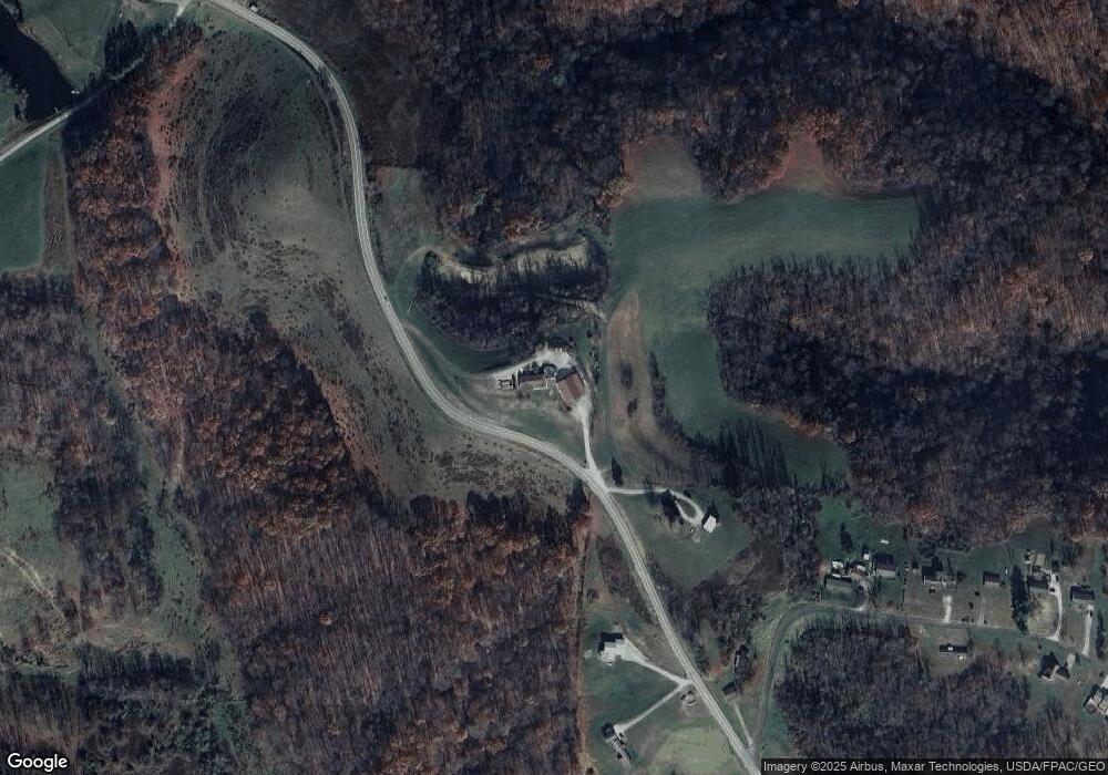
Map
Nearby Homes
- 50504 State Route 556
- 618 Market St
- 111 Main St
- 53263 E Captina Hwy
- 54360 Mount Victory Rd
- 103 Elm St
- 0 Mount Victory Rd
- 122 3rd St
- 122 2nd St
- 45725 Skyline Rd
- 46540 E Captina Highway Rd
- 56000 Crabapple Rd
- 50620 Otto Rd
- 0 Shepards Hill Rd
- 52876 Belmont Ave
- 52736 Fisher Hill Rd
- 00 Cr # 94
- 4911 Roberts Ridge Rd
- 531 Shoe String Ln
- 59321 Harvey Rd
- 50231 State Route 556
- 50172 State Route 556
- 50200 State Route 556
- 50246 Orchard Ln
- 50248 Orchard Ln
- 50250 Orchard Ln
- 50252 Orchard Ln
- 50005 State Route 556
- 50256 Orchard Ln
- 50254 Orchard Ln
- 50011 State Route 556
- 50255 State Route 556
- 50255 Orchard Ln
- 50352 State Route 556
- 50261 Orchard Ln
- 50268 Orchard Ln
- 50269 Orchard Ln
- 49490 State Route 556
- 50350 State Route 556
- 50390 Township Road 198