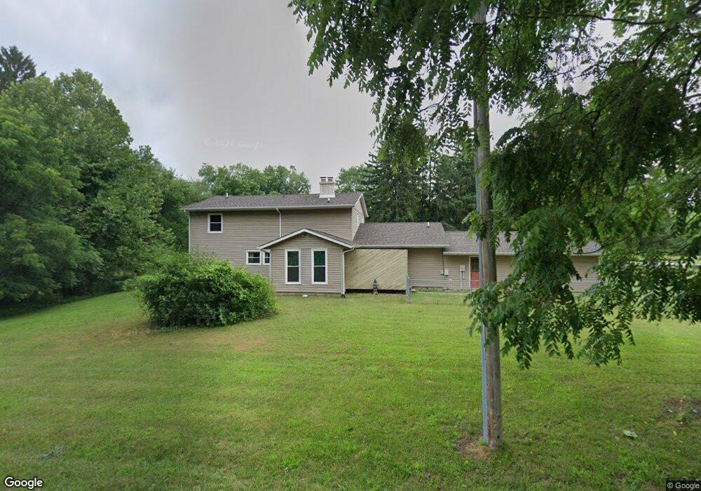
5012 N 600 W La Porte, IN 46350
Estimated Value: $274,000 - $359,000
4
Beds
3
Baths
2,752
Sq Ft
$116/Sq Ft
Est. Value
About This Home
This home is located at 5012 N 600 W, La Porte, IN 46350 and is currently estimated at $318,805, approximately $115 per square foot. 5012 N 600 W is a home located in LaPorte County with nearby schools including Coolspring Elementary School, Barker Middle School, and Michigan City High School.
Ownership History
Date
Name
Owned For
Owner Type
Purchase Details
Closed on
Oct 8, 2013
Sold by
Schmitt Robert J
Bought by
Schmitt Robert J and Schmitt Cassandra M
Current Estimated Value
Home Financials for this Owner
Home Financials are based on the most recent Mortgage that was taken out on this home.
Original Mortgage
$100,000
Outstanding Balance
$75,404
Interest Rate
4.59%
Mortgage Type
New Conventional
Estimated Equity
$243,401
Purchase Details
Closed on
Apr 5, 2006
Sold by
Schmitt Sheila J
Bought by
Schmitt Robert J
Create a Home Valuation Report for This Property
The Home Valuation Report is an in-depth analysis detailing your home's value as well as a comparison with similar homes in the area
Home Values in the Area
Average Home Value in this Area
Purchase History
| Date | Buyer | Sale Price | Title Company |
|---|---|---|---|
| Schmitt Robert J | -- | Fidelity Natl Title Ins Co | |
| Schmitt Robert J | -- | None Available |
Source: Public Records
Mortgage History
| Date | Status | Borrower | Loan Amount |
|---|---|---|---|
| Open | Schmitt Robert J | $100,000 |
Source: Public Records
Tax History Compared to Growth
Tax History
| Year | Tax Paid | Tax Assessment Tax Assessment Total Assessment is a certain percentage of the fair market value that is determined by local assessors to be the total taxable value of land and additions on the property. | Land | Improvement |
|---|---|---|---|---|
| 2024 | $1,774 | $180,100 | $30,300 | $149,800 |
| 2023 | $1,702 | $209,000 | $30,300 | $178,700 |
| 2022 | $1,751 | $193,900 | $30,300 | $163,600 |
| 2021 | $1,619 | $179,700 | $30,300 | $149,400 |
| 2020 | $1,582 | $179,700 | $30,300 | $149,400 |
| 2019 | $1,669 | $185,800 | $36,400 | $149,400 |
| 2018 | $1,496 | $169,700 | $30,300 | $139,400 |
| 2017 | $1,444 | $164,900 | $30,300 | $134,600 |
| 2016 | $1,407 | $170,100 | $30,300 | $139,800 |
| 2014 | $1,413 | $157,000 | $30,300 | $126,700 |
Source: Public Records
Map
Nearby Homes
- V/L N 600 W
- 6476 W Lee Len Trail
- 4374 Armand Ave
- 4376 N Armand Ave
- 5611 W Vintage Hills Trail
- 6747 W 450 N
- 5188 W Laxita Dr
- 7232 W Lynwood Dr
- 4852 W Us Highway 20
- 00 Pawnee Trail
- 000 Pawnee Trail
- 0 Nicomus Path
- 6445 W Shiva Dr
- 3811 N Claret Trail
- Lot 88 Meritage Trail
- Lot 77,78,79 W Concord Dr
- 0 Harvey Ct
- 0 W Us Hwy 20
- 404 Cricket Ln
- Lot 5 Malaga Dr W