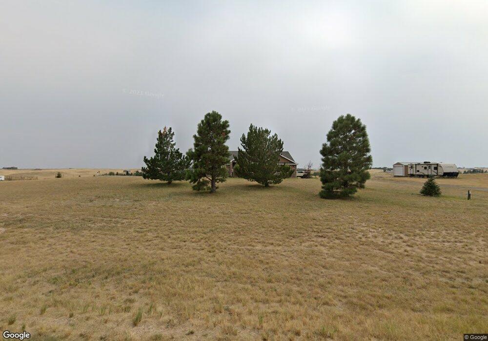
5013 Thunder Ridge Rd Cheyenne, WY 82009
Ranchettes NeighborhoodEstimated Value: $572,000 - $842,000
--
Bed
--
Bath
2,323
Sq Ft
$313/Sq Ft
Est. Value
About This Home
This home is located at 5013 Thunder Ridge Rd, Cheyenne, WY 82009 and is currently estimated at $727,025, approximately $312 per square foot. 5013 Thunder Ridge Rd is a home located in Laramie County with nearby schools including Prairie Wind Elementary School, McCormick Junior High School, and Central High School.
Ownership History
Date
Name
Owned For
Owner Type
Purchase Details
Closed on
Apr 15, 2004
Sold by
Innovative Homes Llc
Bought by
Fortney Rick D and Fortney Karen J
Current Estimated Value
Home Financials for this Owner
Home Financials are based on the most recent Mortgage that was taken out on this home.
Original Mortgage
$280,000
Outstanding Balance
$131,305
Interest Rate
5.61%
Mortgage Type
Purchase Money Mortgage
Estimated Equity
$595,720
Create a Home Valuation Report for This Property
The Home Valuation Report is an in-depth analysis detailing your home's value as well as a comparison with similar homes in the area
Home Values in the Area
Average Home Value in this Area
Purchase History
| Date | Buyer | Sale Price | Title Company |
|---|---|---|---|
| Fortney Rick D | -- | -- |
Source: Public Records
Mortgage History
| Date | Status | Borrower | Loan Amount |
|---|---|---|---|
| Open | Fortney Rick D | $280,000 | |
| Closed | Fortney Rick D | $70,000 |
Source: Public Records
Tax History Compared to Growth
Tax History
| Year | Tax Paid | Tax Assessment Tax Assessment Total Assessment is a certain percentage of the fair market value that is determined by local assessors to be the total taxable value of land and additions on the property. | Land | Improvement |
|---|---|---|---|---|
| 2025 | $5,424 | $61,646 | $13,438 | $48,208 |
| 2024 | $5,424 | $80,705 | $17,917 | $62,788 |
| 2023 | $4,859 | $73,944 | $13,505 | $60,439 |
| 2022 | $4,066 | $60,524 | $8,829 | $51,695 |
| 2021 | $3,810 | $56,572 | $8,411 | $48,161 |
| 2020 | $3,712 | $55,286 | $7,671 | $47,615 |
| 2019 | $3,574 | $53,184 | $7,671 | $45,513 |
| 2018 | $3,425 | $51,486 | $7,671 | $43,815 |
| 2017 | $3,297 | $49,078 | $7,671 | $41,407 |
| 2016 | $3,226 | $48,005 | $7,210 | $40,795 |
| 2015 | $3,124 | $46,473 | $7,210 | $39,263 |
| 2014 | $3,118 | $46,070 | $7,210 | $38,860 |
Source: Public Records
Map
Nearby Homes
- Lot 17 Foxhill Rd
- Lot 18 Foxhill Rd
- 4704 Horse Creek Rd
- Tract 19 Rich Strike Rd
- Tract 22 Rich Strike Rd
- Tract 116 Rich Strike Rd
- TBD Klipstein Rd
- Tr2 N Milliron Rd
- Tract 23 Rich Strike Rd
- TR26 E Milliron Rd
- Tract 107 Rich Strike Rd
- Tract 112 Rich Strike Rd
- Tract 106 Rich Strike Rd
- TR61 Cattlemans Dr
- Tract 110 Rich Strike Rd
- TR72 Cattlemans Dr
- TR62 Cattlemans Dr
- Tract 10 Klipstein Rd
- Tract 11 Klipstein Rd
- 10004 E Milliron Rd
- 5069 Thunder Ridge Rd
- 4960 Thunder Ridge Rd
- 4957 Thunder Ridge Rd
- 11105 Legend Trail
- 5125 Thunder Ridge Rd
- 5404 Thunder Ridge Rd
- 5040 Thunder Ridge Rd
- 11190 Legend Trail
- 11331 Legend Trail
- 5237 Thunder Ridge Rd
- 5623 Horse Creek Rd
- 10808 Arabian Ln
- 11405 Legend Trail
- 5293 Thunder Ridge Rd
- 10809 Arabian Ln
- 5716 Horse Creek Rd
- 11044 Legend Trail
- 5403 Thunder Ridge Rd
- 10710 Arabian Ln
- 5460 Thunder Ridge Rd