5013 Waverly Rd West Point, MS 39773
Estimated Value: $380,000 - $730,000
4
Beds
--
Bath
6,297
Sq Ft
$91/Sq Ft
Est. Value
About This Home
This home is located at 5013 Waverly Rd, West Point, MS 39773 and is currently estimated at $573,333, approximately $91 per square foot. 5013 Waverly Rd is a home located in Clay County with nearby schools including East Side Elementary School, West Clay Elementary School, and Church Hill Elementary School.
Ownership History
Date
Name
Owned For
Owner Type
Purchase Details
Closed on
Aug 19, 2024
Sold by
Miles Wallace O and Jennings Molly
Bought by
Jennings Molly and Miles Denise
Current Estimated Value
Purchase Details
Closed on
Feb 12, 2024
Sold by
Crum Thelma Bailey Akers
Bought by
Akers Jonathan
Purchase Details
Closed on
Jul 19, 2017
Sold by
Crum Thelma Bailey
Bought by
Crum Jimmie W and Crum Thelma Bailey
Create a Home Valuation Report for This Property
The Home Valuation Report is an in-depth analysis detailing your home's value as well as a comparison with similar homes in the area
Purchase History
| Date | Buyer | Sale Price | Title Company |
|---|---|---|---|
| Jennings Molly | -- | None Listed On Document | |
| Akers Jonathan | -- | None Listed On Document | |
| Crum Jimmie W | -- | -- |
Source: Public Records
Tax History
| Year | Tax Paid | Tax Assessment Tax Assessment Total Assessment is a certain percentage of the fair market value that is determined by local assessors to be the total taxable value of land and additions on the property. | Land | Improvement |
|---|---|---|---|---|
| 2025 | -- | $39,702 | $1,464 | $38,238 |
| 2024 | -- | $40,480 | $1,464 | $39,016 |
| 2023 | $0 | $40,419 | $1,464 | $38,955 |
| 2022 | $0 | $40,419 | $1,464 | $38,955 |
| 2021 | $0 | $40,419 | $1,464 | $38,955 |
| 2020 | $0 | $40,419 | $1,464 | $38,955 |
| 2019 | $1,690 | $42,224 | $1,464 | $40,760 |
| 2018 | $0 | $42,224 | $1,464 | $40,760 |
| 2017 | $0 | $42,224 | $1,464 | $40,760 |
| 2016 | $1,690 | $42,224 | $1,464 | $40,760 |
| 2015 | $1,676 | $40,779 | $1,464 | $39,315 |
| 2014 | $1,598 | $40,779 | $1,464 | $39,315 |
| 2013 | $1,598 | $40,779 | $1,464 | $39,315 |
Source: Public Records
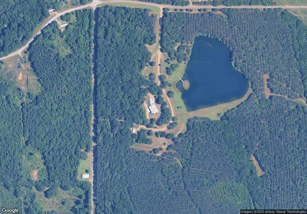
Map
Nearby Homes
- 0 Waverly Rd Unit 26355692
- 0 Dogwood Dr (Lot 15)
- 0 Dogwood Dr (Lot 21) Unit 26-332
- 0 Dogwood Dr (Lot 20) Unit 26-331
- 0 Dogwood Dr (Lot 14) Unit 26-329
- 0 Dogwood Dr
- 84 Waverly Dr
- Lot 15 Old Waverly Rd
- Lot 13 Old Waverly Rd
- Lot 22 Old Waverly Rd
- Lot 14 Old Waverly Rd
- Lot 21 Old Waverly Rd
- Lot 19 Old Waverly Rd
- Lot 18 Old Waverly Rd
- Lot 20 Old Waverly Rd
- Lot 16 Old Waverly Rd
- Lot 17 Old Waverly Rd
- Lot 12 Old Waverly Rd
- Lot 1 Old Waverly Rd
- 43 Garden Cove
- 3853 Clisby Rd
- 4908 Clisby Rd
- 4791 Waverly Rd
- 4753 Waverly Rd
- 2191 Pinkerton Rd
- 2531 Pinkerton Rd
- 1815 Pinkerton Rd
- 1406 Pinkerton Rd
- 2120 Pinkerton Rd
- 1185 Pinkerton Rd
- 1269 Pinkerton Rd
- 4742 Waverly Rd
- 338 Pinkerton Rd
- 380 Pinkerton Rd
- 397 Pinkerton Rd
- 370 Pinkerton Rd
- 0 Waverly Rd Unit 22-1995
- 1558 Clisby Rd
- 464 Dogwood Dr
- 490 Dogwood Dr
Your Personal Tour Guide
Ask me questions while you tour the home.