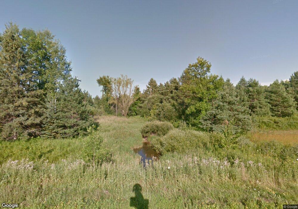
50130 State Highway 13 Ashland, WI 54806
Estimated Value: $396,000 - $444,000
Studio
--
Bath
--
Sq Ft
5.45
Acres
About This Home
This home is located at 50130 State Highway 13, Ashland, WI 54806 and is currently estimated at $418,753. 50130 State Highway 13 is a home located in Ashland County with nearby schools including Ashland High School, Lake Superior High, and Our Lady Of The Lake Catholic School.
Ownership History
Date
Name
Owned For
Owner Type
Purchase Details
Closed on
Oct 31, 2011
Sold by
Schemenauer Terrence and Schemenauer Barbara
Bought by
Larson Gary L and Larson Gayle A
Current Estimated Value
Home Financials for this Owner
Home Financials are based on the most recent Mortgage that was taken out on this home.
Original Mortgage
$176,000
Outstanding Balance
$120,588
Interest Rate
4.5%
Mortgage Type
Adjustable Rate Mortgage/ARM
Estimated Equity
$298,165
Create a Home Valuation Report for This Property
The Home Valuation Report is an in-depth analysis detailing your home's value as well as a comparison with similar homes in the area
Purchase History
| Date | Buyer | Sale Price | Title Company |
|---|---|---|---|
| Larson Gary L | $222,000 | None Available |
Source: Public Records
Mortgage History
| Date | Status | Borrower | Loan Amount |
|---|---|---|---|
| Open | Larson Gary L | $176,000 |
Source: Public Records
Tax History
| Year | Tax Paid | Tax Assessment Tax Assessment Total Assessment is a certain percentage of the fair market value that is determined by local assessors to be the total taxable value of land and additions on the property. | Land | Improvement |
|---|---|---|---|---|
| 2025 | $5,010 | $222,000 | $20,400 | $201,600 |
| 2024 | $4,647 | $222,000 | $20,400 | $201,600 |
| 2023 | $4,170 | $222,000 | $20,400 | $201,600 |
| 2022 | $3,899 | $222,000 | $20,400 | $201,600 |
| 2021 | $4,001 | $222,000 | $20,400 | $201,600 |
| 2020 | $3,789 | $222,000 | $20,400 | $201,600 |
| 2019 | $3,602 | $222,000 | $20,400 | $201,600 |
| 2018 | $3,463 | $222,000 | $20,400 | $201,600 |
| 2017 | $3,580 | $222,000 | $20,400 | $201,600 |
| 2016 | $3,817 | $222,000 | $20,400 | $201,600 |
| 2015 | $4,209 | $222,000 | $20,400 | $201,600 |
| 2014 | $3,853 | $222,000 | $20,400 | $201,600 |
| 2013 | $3,905 | $222,000 | $20,400 | $201,600 |
Source: Public Records
Map
Nearby Homes
- 62543 Hegstrom Rd
- 2XX 22nd St
- XXX 22nd St
- 2119 5th Ave E
- 2XXX Ellis Ave S
- 0 Ellis Ave S
- 17XX Ellis Ave S
- 0.64 Acres Near Ellis Ave S
- 0000 Ellis Ave S
- 1xxx Ellis Ave
- XXX 18th St E
- 1707 Beaser Ave
- 1217 6th Ave W
- 1217 11th Ave W
- 1201 9th Ave W
- 1100 Ellis Ave S
- 1100 Ellis Ave
- 922 Macarthur Ave
- 1008 3rd Ave E
- 915 11th Ave W
- 50130 Hwy 13
- 70710 Hwy 13
- 50085 State Highway 13
- 50039 State Highway 13
- 63418 Butterworth Rd
- 50286 State Highway 13
- 49900 State Highway 13
- 63206 Butterworth Rd
- 50436 State Highway 13
- 50039 Griffith Rd
- 50467 State Highway 13
- 49883 Griffith Rd
- 50311 Griffith Rd
- 50582 State Highway 13
- 49711 Griffith Rd
- 62995 Butterworth Rd
- 50408 Griffith Rd
- 50717 State Highway 13
- 49559 State Highway 13
- 49538 State Highway 13
Your Personal Tour Guide
Ask me questions while you tour the home.
