5014 Mascaro Dr Unit B Las Vegas, NV 89122
Estimated Value: $305,907 - $313,000
2
Beds
2
Baths
1,066
Sq Ft
$291/Sq Ft
Est. Value
About This Home
This home is located at 5014 Mascaro Dr Unit B, Las Vegas, NV 89122 and is currently estimated at $309,727, approximately $290 per square foot. 5014 Mascaro Dr Unit B is a home located in Clark County with nearby schools including Sister Robert Joseph Bailey Elementary School, Francis H Cortney Junior High School, and Basic Academy of International Studies.
Ownership History
Date
Name
Owned For
Owner Type
Purchase Details
Closed on
Mar 5, 2002
Sold by
Plaster Development Company Inc
Bought by
Flanders Mary Ann I
Current Estimated Value
Home Financials for this Owner
Home Financials are based on the most recent Mortgage that was taken out on this home.
Original Mortgage
$89,950
Outstanding Balance
$37,257
Interest Rate
6.94%
Estimated Equity
$272,470
Create a Home Valuation Report for This Property
The Home Valuation Report is an in-depth analysis detailing your home's value as well as a comparison with similar homes in the area
Home Values in the Area
Average Home Value in this Area
Purchase History
| Date | Buyer | Sale Price | Title Company |
|---|---|---|---|
| Flanders Mary Ann I | $114,990 | First American Title Co |
Source: Public Records
Mortgage History
| Date | Status | Borrower | Loan Amount |
|---|---|---|---|
| Open | Flanders Mary Ann I | $89,950 |
Source: Public Records
Tax History Compared to Growth
Tax History
| Year | Tax Paid | Tax Assessment Tax Assessment Total Assessment is a certain percentage of the fair market value that is determined by local assessors to be the total taxable value of land and additions on the property. | Land | Improvement |
|---|---|---|---|---|
| 2025 | $794 | $75,166 | $21,350 | $53,816 |
| 2024 | $771 | $75,166 | $21,350 | $53,816 |
| 2023 | $771 | $75,947 | $25,200 | $50,747 |
| 2022 | $749 | $66,340 | $19,950 | $46,390 |
| 2021 | $727 | $62,416 | $18,200 | $44,216 |
| 2020 | $703 | $61,242 | $17,500 | $43,742 |
| 2019 | $683 | $57,390 | $14,350 | $43,040 |
| 2018 | $663 | $50,649 | $11,550 | $39,099 |
| 2017 | $1,419 | $48,035 | $10,850 | $37,185 |
| 2016 | $629 | $40,319 | $7,350 | $32,969 |
| 2015 | $627 | $30,311 | $5,600 | $24,711 |
| 2014 | $608 | $21,513 | $3,500 | $18,013 |
Source: Public Records
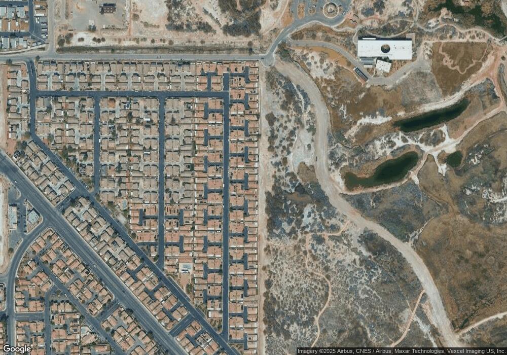
Map
Nearby Homes
- 4940 Mascaro Dr
- 5043 Mascaro Dr
- 5114 Mascaro Dr
- 4971 Droubay Dr Unit A
- 5061 Droubay Dr
- 5129 Midnight Oil Dr
- 6676 Black Oil Dr
- 5236 Jewel Canyon Dr
- 5196 Mineral Lake Dr
- 5230 Panguitch Dr
- 6693 Diamond Care Dr
- 6659 Diamond Care Dr Unit C
- 5279 Mineral Lake Dr Unit C
- 5297 Mineral Lake Dr
- 6420 E Tropicana Ave Unit 93
- 6420 E Tropicana Ave Unit 279
- 6420 E Tropicana Ave Unit 168
- 6420 E Tropicana Ave Unit 304
- 6420 E Tropicana Ave Unit 128
- 6420 E Tropicana Ave Unit 79
- 5010 Mascaro Dr
- 5018 Mascaro Dr
- 5006 Mascaro Dr
- 4990 Mascaro Dr
- 5022 Mascaro Dr
- 5026 Mascaro Dr
- 5002 Mascaro Dr
- 4986 Mascaro Dr
- 4994 Mascaro Dr
- 5040 Mascaro Dr
- 5030 Mascaro Dr
- 4998 Mascaro Dr
- 5036 Mascaro Dr
- 5044 Mascaro Dr Unit B
- 4982 Mascaro Dr
- 5032 Mascaro Dr
- 4974 Mascaro Dr
- 5005 Mascaro Dr
- 5001 Mascaro Dr
- 4978 Mascaro Dr